New Plymouth to Ohinepane along the Forgotten World Highway
Position 38 56.552S 175 08.717E View outside our van in the morning. After a swift cup of coffee on the road again, and don’t u come back no more, no more, no more….
All very rolling hills
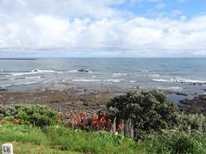
We decided to drive the forgotten world highway that stretches from Stratford (west of Mt Taranaki) to Taumarunui. And it really is forgotten. We saw a couple of other campervans and a few cars but not a lot. So that made it a great road to travel. The road goes over loads of ‘saddles’ on the top of rolling hills. These are the views either side of Strathmore Saddle, tradionally considered to be the start of the back country – which just means change from diary to beef cattle and sheep rearing. The road though this landscape was completed in the 1920s but could be a sea of mud or a dust. The road was finally tarmaced in the 1960s. Anyway this saddle is the first of 4. On a clear day you can see Mt Taranaki and others but a bit too cloudy today.
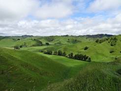
This should be hobbit country you get the feel for those hills here.
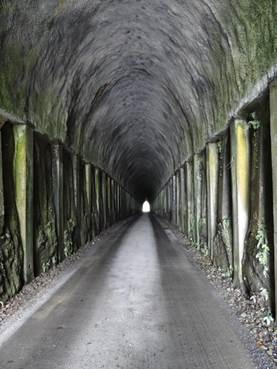
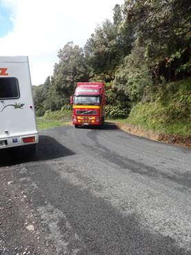
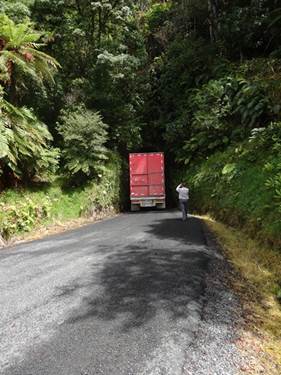
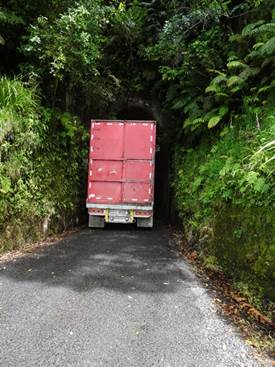
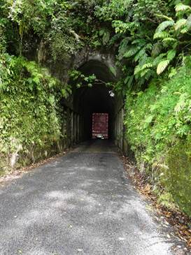
Paul wanted to do a short detour to Makahu tunnel, via a gravel road. Me not happy but hey. Built in 1907 it cut off 3 km of road going over another saddle. Its 166 m long. The original tunnel collapsed in 1919, when some of the timbers rotted and it was closed for two years while the sides were lined with concrete. 1n 1998 the floor was lowered by almost 1.4m to allow triple decker stock trucks through. Could not believe we had just stopped to get a photo and along roars a triple decker towing another triple decker to go through the tunnel.
Incredible driving and engineering, literally half a dozen inches either side.
This is Whangamona saddle, the third on the highway, there used to be a big construction camp here. The line ran between Stratford and Okakukura junctions – where the main line is. It took nearly 31 years to complete and has 24 tunnels. The last passenger service ended in 1983. What a waste.
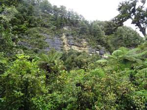
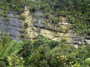
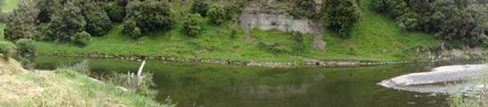
After travelling up and over four saddles we travelled on 12 km of gravel through the Tangarakau gorge, probably the reason not many people travel this route. Really steep walls and lots of landslips along the road. We had heavy rain last night and it must have led to several small slips because there were rocks all over the road.
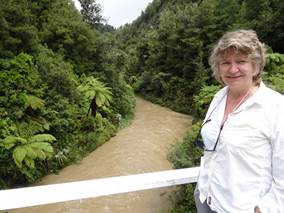
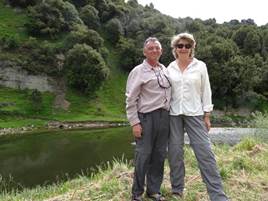
You can see how dirty the water is, in the river, from recent rains. Putting on a bit of weight there Gladys.
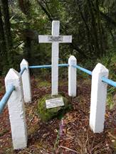
Joshua Morgans grave. He was the surveyor who finally found a path through the gorge. Really sad, died at the age of 35 from suspected peritonitis. He had two assistants with him at the time. One went back to the coast to get medicine which worked for a while. They had to go get more medicine and he died before it got to him. He was buried at this spot, where he dropped. Who said that? His wife was also buried here when she died some 60 odd years later.
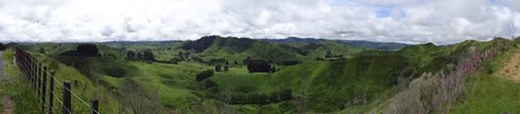
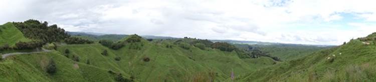
Panoramic view of King country from Nevins lookout. No idea who Nevin was. Central north island is called King country because the tribes within the area voted in a king to resist the loss of their land and sovereignty. The story goes that the king put a hat on a map of north island and declared everything beneath under his sovereignty. Anyway they lost most of the land in the end.
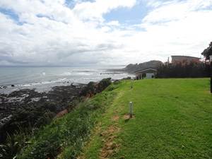
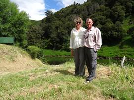
Paul spotted a brilliant campsite at Ohinepane as we were started to get tired. This was our view – well without us in it obviously. We were the only people there for a couple of hours and then another campervan poled up. Apart from that no-one. Although a DoC site, not on any of the maps. Our lucky day.
Thanks Harold.
180 of the view.
|