Nelson to French Pass
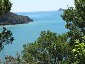
Position 40 55.558S 173 50.558E The Marlborough Sounds, a series of flooded river valleys, stretch from just east of Nelson right across to the east coast. There are two main sounds: Pelorus and Queen Charlotte. So the lady in the Nelson tourist office said that great scenery down the outer sounds to French Pass, so off we went. Well the road was almost as bad as Abel Tasman, some great views of the sound and out into Tasman sea.
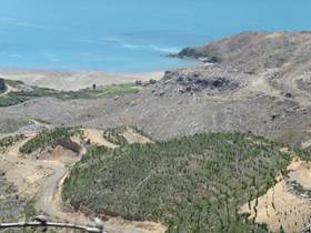
Lot of lumbering has been going on. Blot on the landscape. I could have said, name that book.
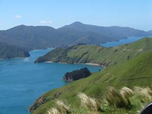
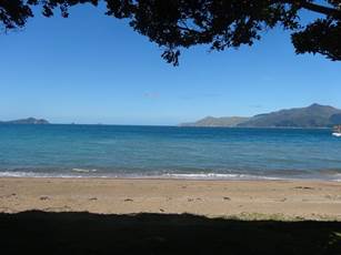
Eventually passed out of woodland into grazing land. This must have all been covered with native woodland at one time, now there is no trace. Settlers burnt the forest to clear for their stock. View back along the road we had just driven down. The land in the background of the LH picture is an island called D’Urville, the thin strip of water between is French Pass. Although Cook spent a lot of time here, it was a French explorer called d’Urville who discovered the pass, hence the name of the island and the pass.
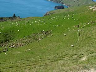
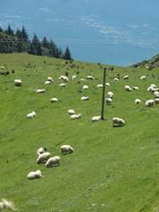
Few sheep..
Tiny DoC campsite at the end of the road. Very disappointing as tourist office said there were walks. Not. The van at French Pass Scenic Reserve and the view from our door.
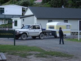
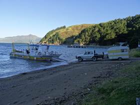
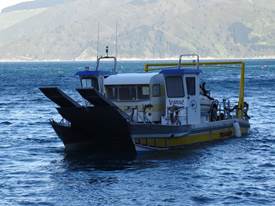
There is only one way to get to D’Urville Island, well two if you count helicopter …. This car and caravan poled up and was driven onto the ferryboat, Paul took lots and lots, and I do mean lots, of photographs. Here’s a sample. Can you believe the state of the caravan?
|