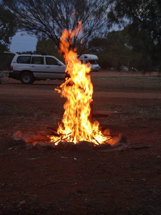
Gemtree - Tropic of Capricorn and a small camp fire

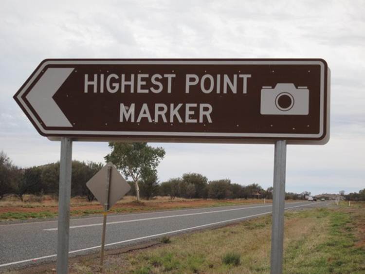
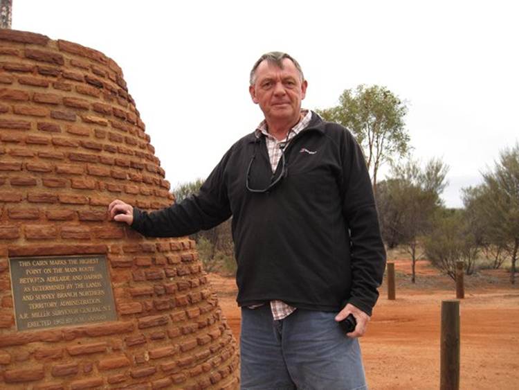
Position 22 58.07S 134 14.47E We are still travelling along the Stuart Highway which cuts N-S right through the middle of Australia. The 1500km stretch between Alice Springs and Darwin was originally a dirt track that serviced the 1870s construction of the Overland Telegraph. It wasn’t until the second world war that a sealed highway was built, by civilians and military, as part of Australia’s defence. Major upgrades then took place in 1970 and 1992 resulting in the two lanes road of today. On the way to Gemtree we passed the highest point marker. There are lots of these historical markers along the route – a rock cairn with a plague.
This cairn marked the highest point, which I measured with GPS as being 731m high, on the main route between Adelaide and Darwin.
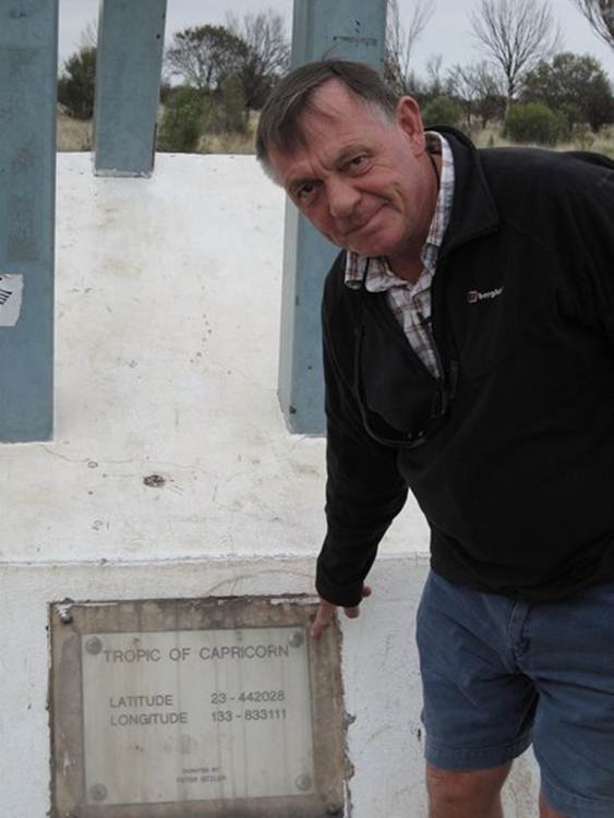
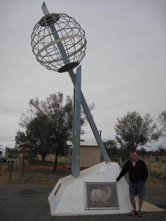
We also passed through the Tropic of Capricorn – Paul’s birth sign so we had to stop.
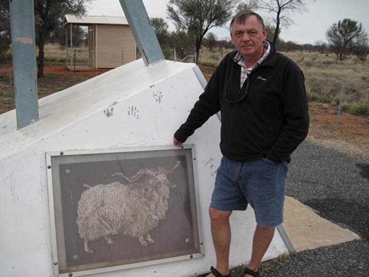
With what appears to be a ram not a goat.
The full statue.
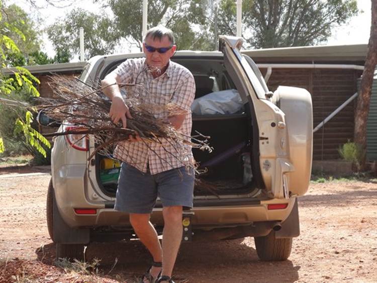
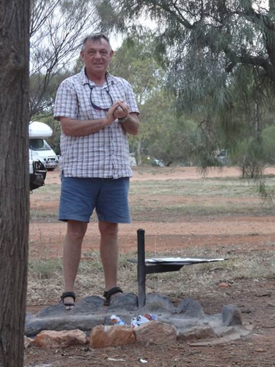
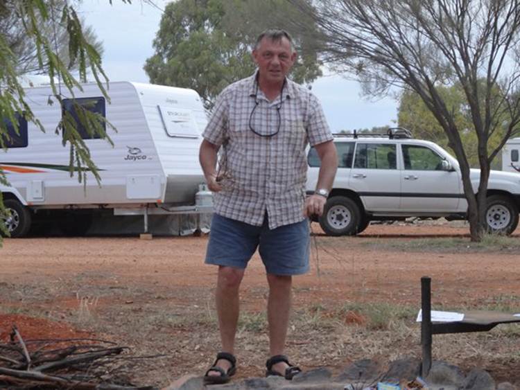
We were told about Gemtree by an Australian we met a few weeks ago. We are about 70km along the Plenty Highway – one of the many roads off the Stuart Highway. The road turns to dirt about 30km further on and in 350km you reach the Queensland border. The Plenty highway is single tarmac lane to the caravan site – that means you have one set of types in the dirt when you pass another vehicle. If a road train comes towards you, you get off the road. One of the things about Gemtree – apart from being in the middle of the outback is that they have fire pits. Here’s Paul bringing back his collection of wood.
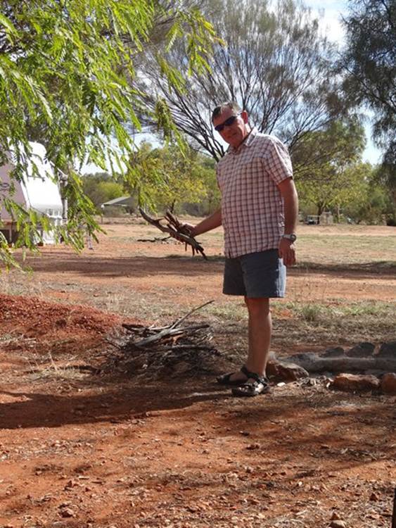
Preparing his fire..
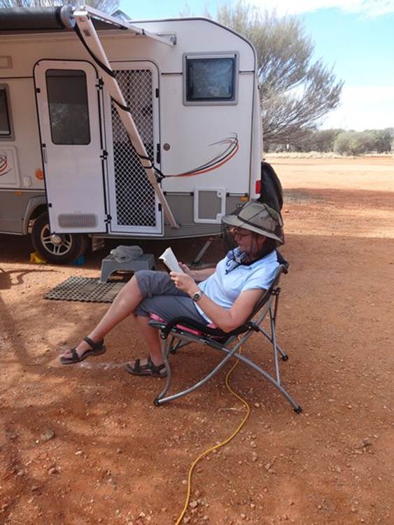
Whilst I read my book and giggle.
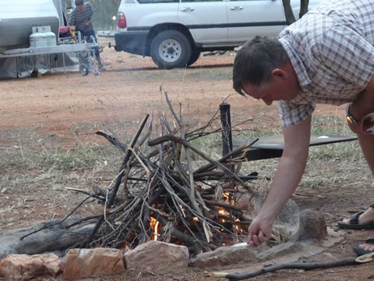
Scrunching up paper with which to light his fire.
Ready to go..
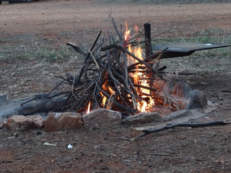
And its lit.
Those sticks were so dry …
We ended up with an inferno, the poor trees didn’t stand a chance. Several fires were as bad as ours, but others were more constrained.
|
