Road trip to Oamaru 1
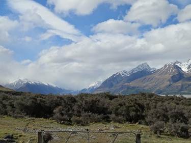
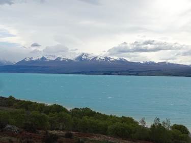
Position 45 05.715S 150 57.652E The rain stopped for a while so here’s some better photo’s of Lake Pukaki as we travelled along the road to Oamaru
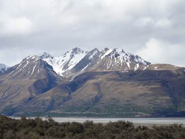
In the RH picture you can see the way the Tasman glacier carved out the sides of the mountains at two different levels.
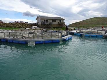
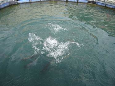
On the road to Oamaru passed a salmon farm. We bought smoked (hot and cold, the hot tastes just like canned salmon to me) and fresh. We also had to feed the fish.
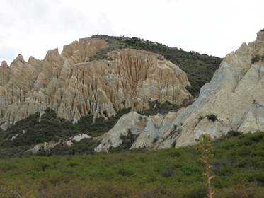
Passed a sign for the clay cliffs, $5 feet in the honesty box.
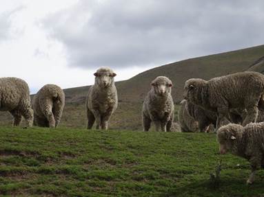
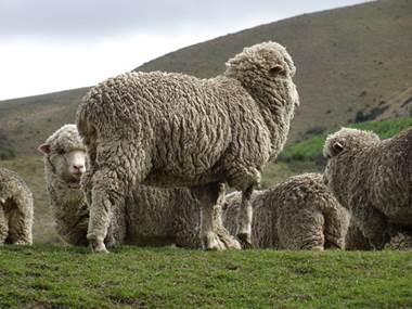
Passed a few of those iconic sheep – and believe me there are hundreds of thousands, if not millions of them.
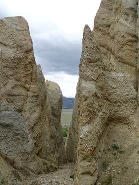
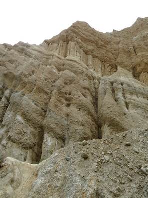
The clay pits – which were remains of river bed – gradually being eroded by the rain, of which there is a lot!. Look like the painted desert!
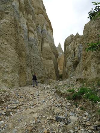
You could walk/climb in amongst the scoured out cliffs,
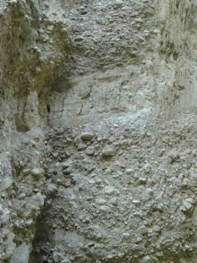
You can see power of the river in the cliff sides, sometimes powerful transporting pebbles and rocks.
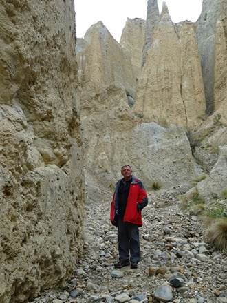
Titled at some stage in the past.
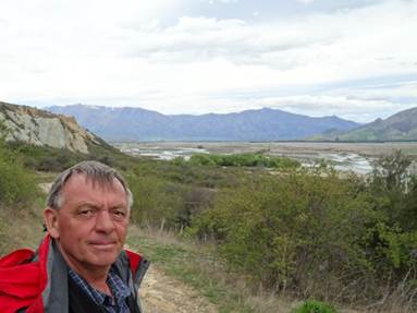
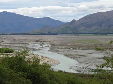
Paul looking out over another braided river system. This one covered in grass lower down the valley.
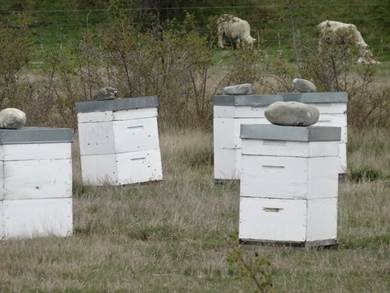
Bit of mountain honey?
|