Kakadu - Gunlom and Bukbukluk
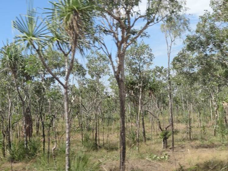
Drove 125km back the way we had come to visit Gunlom Falls. Once we turned off the highway it was 35km of graded dirt road and the last 10km were very rough. There is a campsite at the bottom of the falls that the tourist office lady said you could take a caravan, if you went very slowly. Having heard the story of the other tourist lady who said it was OK to go on another dirt road and axel promptly broke I wouldn’t let Paul take the van to the site. And I was right. The last 10km was pot hole after pot hole. Apparently had a lot of rain late in the season – Easter - and road hadn’t been re-graded. You get to the campsite and the road is tarmacked! Views of pandanus trees dotting the landscape.
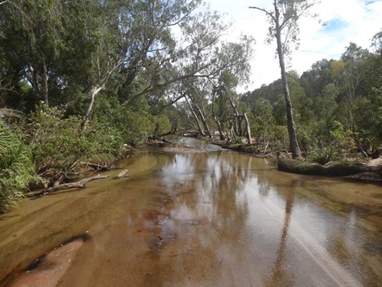
One of the streams we had to cross.
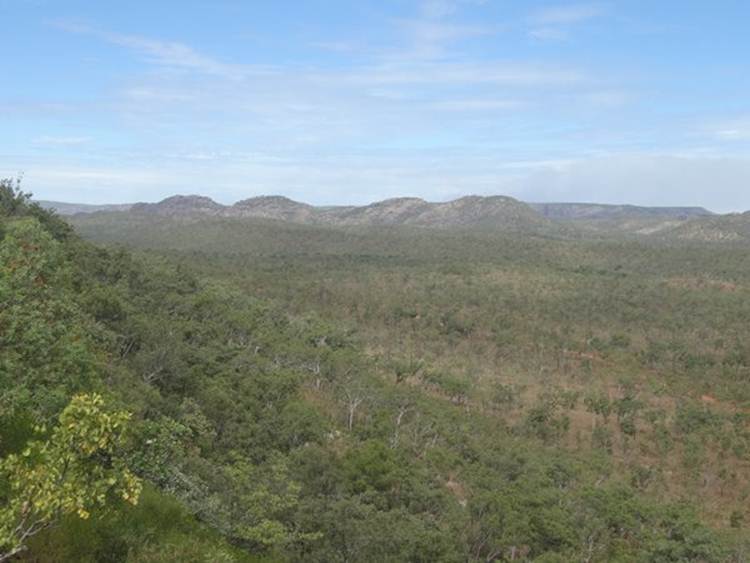
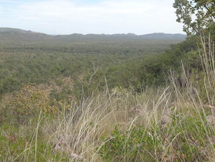
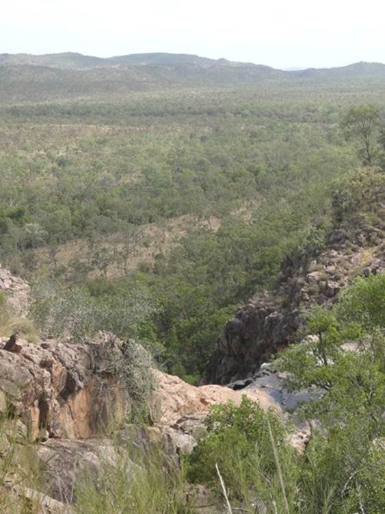
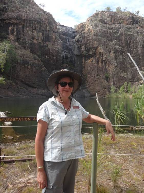
Anyway a steep walk – and I do mean steep – leads to a lookout and then rock pools at the top of Arnhem Land escarpment. From the top of Gunlom you can see southern hills and ridges – so called stone country - of the park. In the foreground are woodlands typical of the low lying drier floodplain areas. 140 million years ago most of Kakadu was under a shallow sea (see the timeline). The escarpment walls at Gunlom and of Arnhem land are made from Koobolgie rock deposited 1650 million years ago. The escarpment formed the sea cliffs at the shoreline 140 million years ago (see the timeline). Here’s some views across woodland in Kakadu lowlands below across to sandstone escarpments.
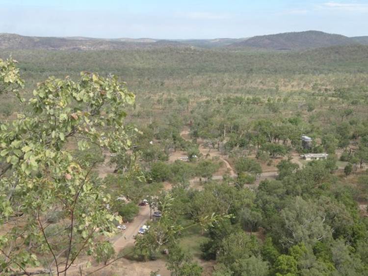
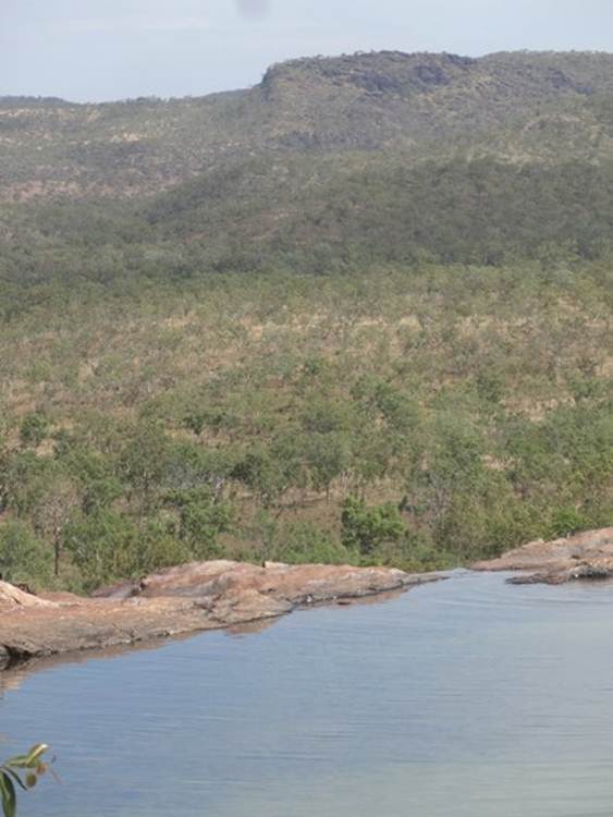
You can just make out the car park below in this photograph. In the wet season the whole area is underwater.
The dark line in the distance marks the South Alligator River.
This is one of the rock pools at the top of the escarpment. More hippies sitting on the edge .. not in the picture.
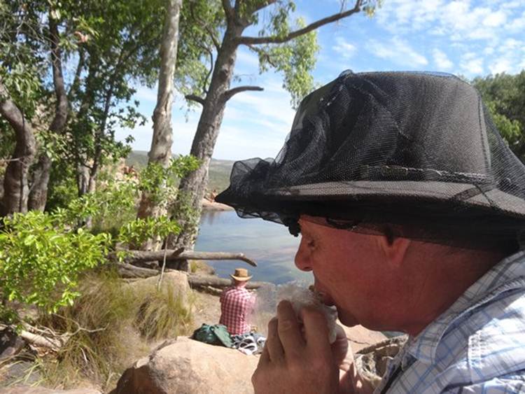
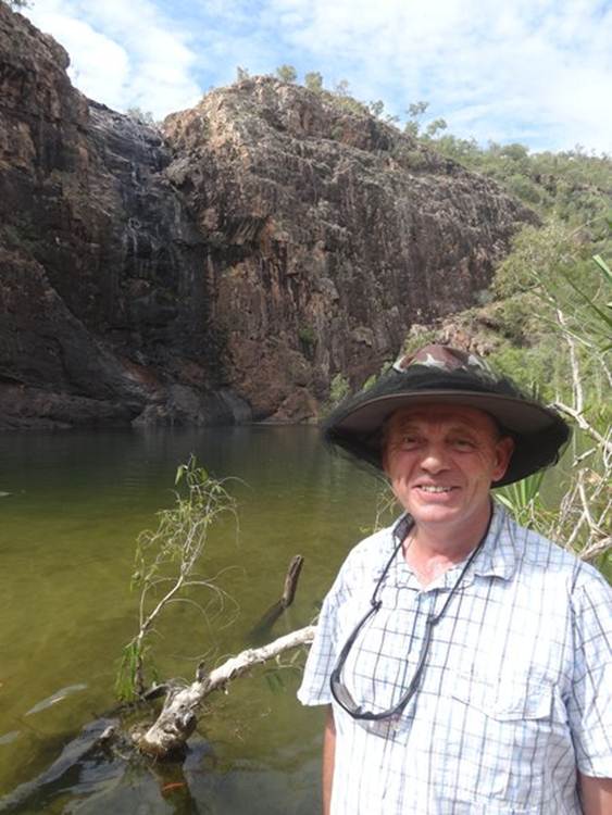
Paul having his lunch.
You can just make oit the trickle over the edge of the escarpment here. It is fed by 100 square kilometers of catchment from the Arnhem Land Plateau.
Gunlom is part of Waterfall Creek which begins 12 km upstream from the waterfall. Here the creek falls 70 m into the plunge pool below.
The creek then flows another 1 km before joining the South Alligator River.
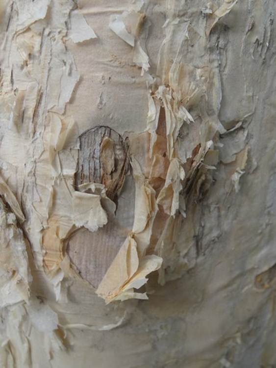
Paper bark tree. Beautiful tree, you can see how the soft the bark is. We met a ranger who told us this is one ply, two ply, three ply, four ply …. One of its many uses.
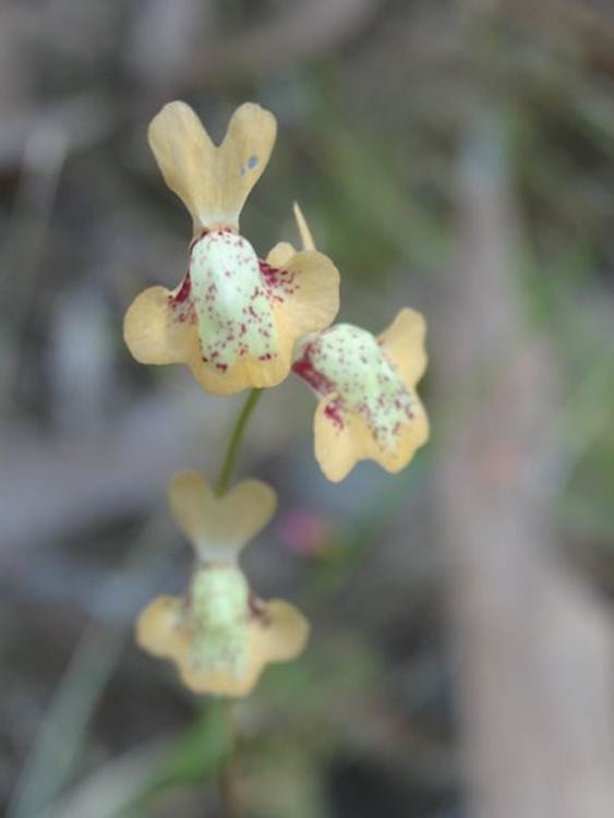
He also told us this little flower was the bladderwort. He also told me the names of several other plants but my memory being what it is, can’t remember a thing.
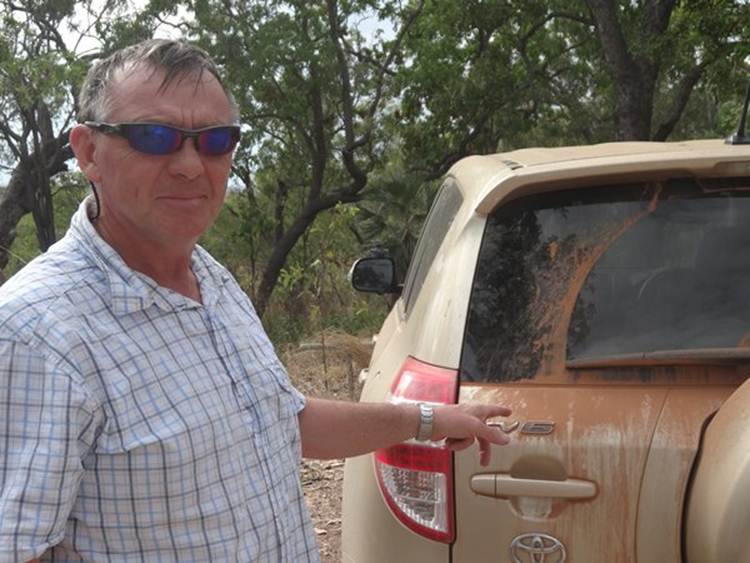
Paul proudly points out the amount of dirt on the car, again, after our 60 + km off road excursion.
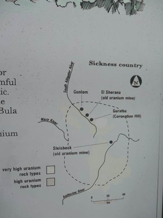
Much of this region is known to the Jawoyn indigenous people as Buladjang or sickness country. Jawoyn say that is people disturb Buladjang country they will become unwell. Turns out that Buladjang country contains a lot of mineral deposits such as uranium, mercury, lead and arsenic. Scientists have correlated location of potentially harmful uranium deposits and major Buladjang sites.
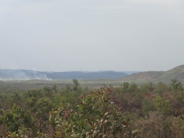
After our intrepid excursion to Gunlom falls went to Bukbukluk. Short 2 km walk to another escarpment with views over the plains. You can just about make out fire in the distance.
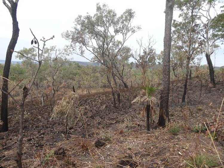
Burning is continuous at the moment. Not the intense fires you get further south, for a start the trees don’t have the amount of oil that you find in the eucalypts. The fires burn the undergrowth but do little damage to the trees.
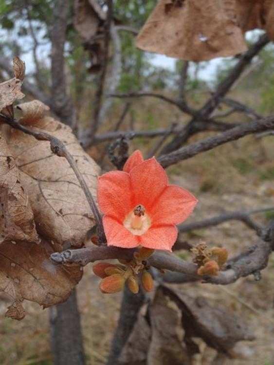
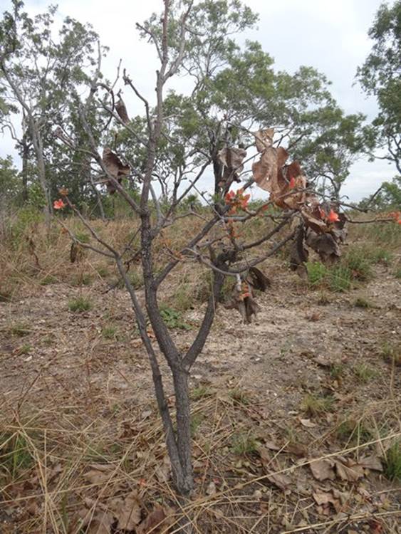
This is the flower of the red flowering kurrajong tree (Brachyhchitn megaphyllus). It’s the floral emblem for Darwin, don’t u know.
The tree loses its leaves during the dry season and the bright red flowers appear on the branches.
|