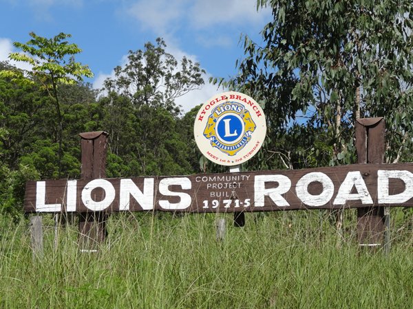
The Lions Road
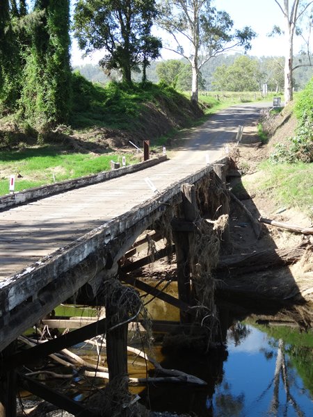
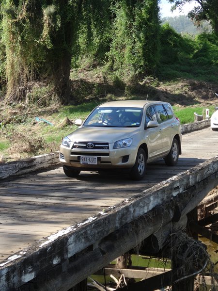
Drove down the Lion’s Road, which was originally a jeep track, about 15 km long. The road follows part of the railway line from Sydney to Brisbane via the Richmond Gap, a low point in the McPherson Range. The track was built as a community project in 1969, by the Kyogle Lions Club (hence the name) after the government withdrew from funding the road in that year. At the Queensland border, the Beaudesert Lions Club injected a bit of enthusiasm to a flagging project, and the army built the last 2 km. The road was tarmacked in 2002. There are several wooden bridges to cross which are all single file. The road surface is also wood, like railway sleepers that are bolted onto the underlying framework. You can see how high the river came by the remains of the dead vegetation lying against the bridged buttresses, after the recent rainfall from cyclone Oswald.
There is a side loop off the road, containing a number of creek crossings, which we tried out – guess whose idea this was. We managed to forge all the creeks except one which was strewn with boulders so retraced our steps, or tracks even. Paul crossing through one of the creeks.
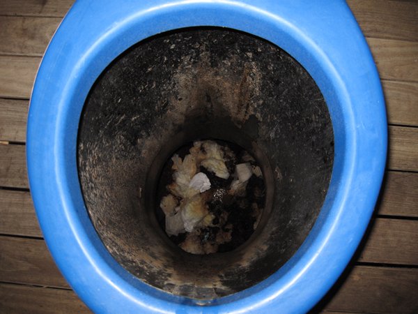
A composting toilet!!!!
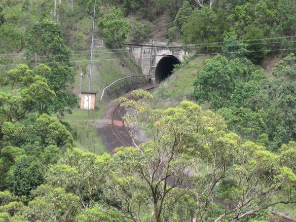
View from Spiral Loop Lookout. The road overlooks a spiral loop in the railway. It goes through the mountain twice and crosses over itself, if you get my drift, and gains about 20 m in height. You can just make out the railway in the LHS and curling round in RHS of the picture. In a plane I guess you’d get the full effect.
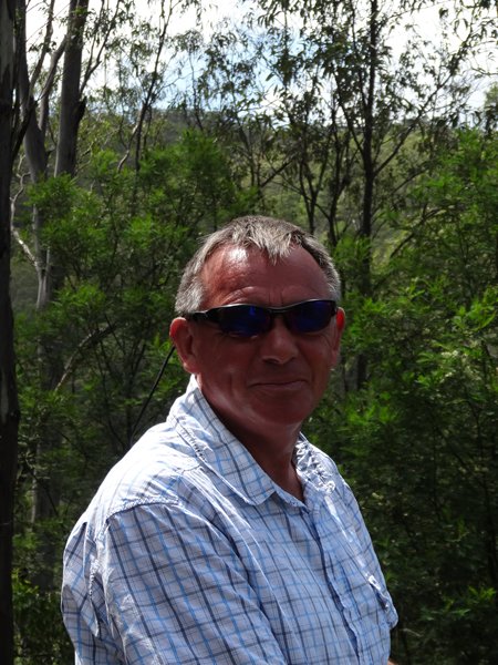
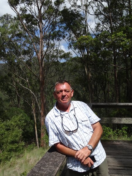
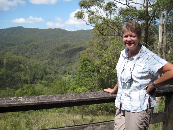
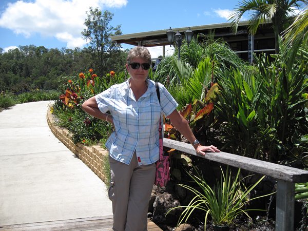
Paul and I at the lookout.
The track going into the main tunnel through the mountain, which incidentally is NSW one side and Queensland the other.
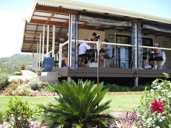
Our lunch stop
|