Alice Springs - West MacDonnell Ranges
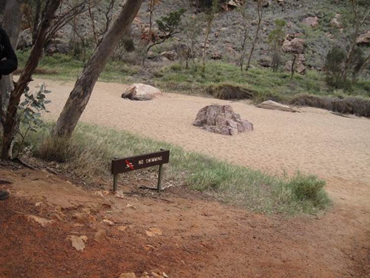
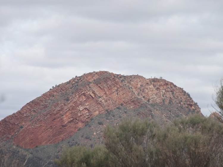
The MacDonnell Ranges stretch for about 640km east and west of Alice Springs, hence East and West MacDonnell ranges, and are formed of folded ridges and gorges, with long flat alluvial valleys in-between. Lots of folding events seem to have happened in the area, oldest about 1 billion years ago. The rocks themselves are 1.4 to 2.4 billion years old. The latest folding occurred about 340 million years old when the area was a sedimentary basin overlying metamorphic and volcanic rocks of greater age. Folding was within a tectonic plate (intraplate deformation) due to reactivation of old fault lines by some mechanism. The ranges were originally thought to be about 4.5km high, they are now 500m – that’s a lot of erosion. Lots of different rock types: red quartzite, granite, limestone, sandstone and siltstones. If you are into walking this is one of the places to come. The Larapinta Trail leads out from Alice Springs for 200+ km. It’s all laid out in 1 or 2 day sections. Several tours operate where you do 30km / day and sleep in a swag at night. Cold at this time of year. Had a short guided Ranger walk at Simpsons Gap this morning. No one knows why called Simpsons Gap, originally Simsons, someone added the p at some stage – again unknown why. The creek bed and an apt sign.
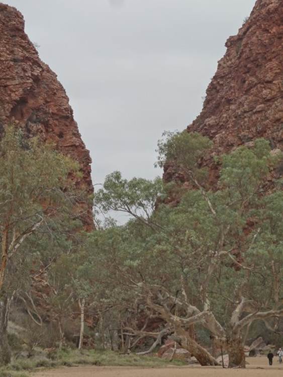
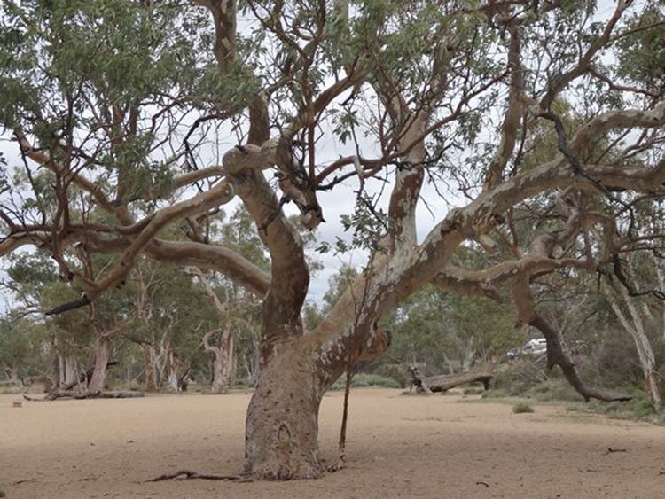
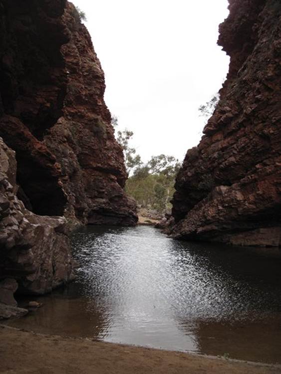
Simpsons Gap is in the West MacDonnell Ranges, and there are lots of them, gaps that is. Formed of quartzite. Lots if river red gums, found only along water courses, grow along the banks and within the beds of the creeks/rivers – all dry now.
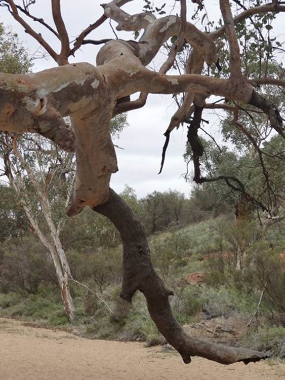
A bit like oak trees in the UK, these trees home to lots of wildlife. Apparently, 75% of Australian birds nest in hollows, of which these trees have several. Some trees are really big.
In hard droughts they stop ‘circulation’ to some of their boughs so that they die off. We met a lady who told us that where she lived, they call it the widow tree. Campers advised not to sleep under as the dead branches can fall off anytime.
Simpsons Gap. Rain fell a few weeks back and so the gap is filled with water.
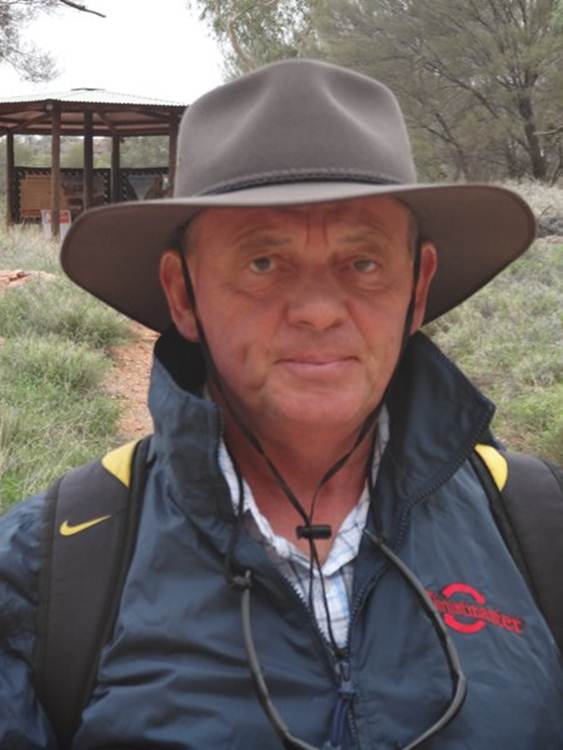
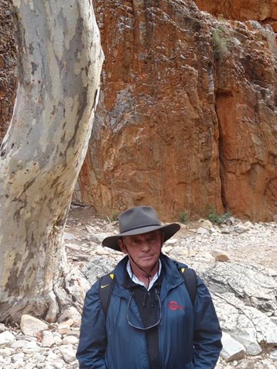
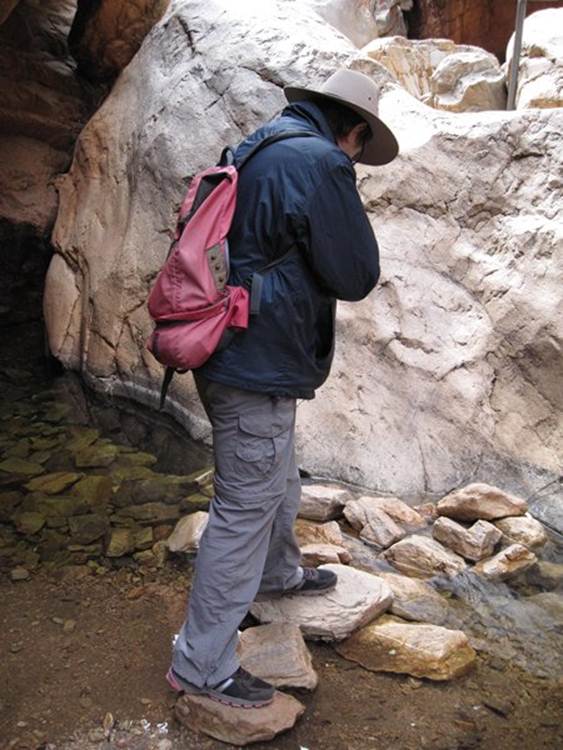
Paul not looking too happy but look at his hat – no fly net.
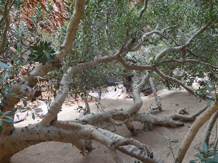
Fantastic example of the wild fig tree growing near the gap itself.
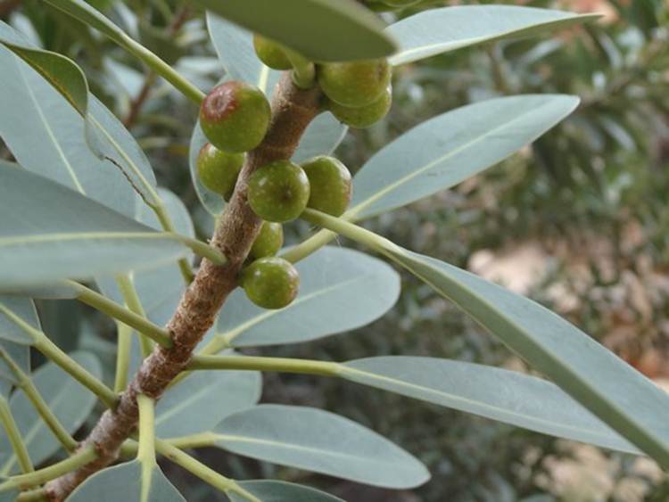
The figs.
Landscape is all tilted.
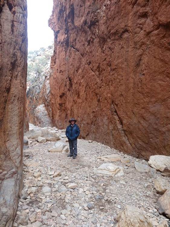
This is Stanley Chasm. We had to pay $10 each to visit it. If you come this way don’t bother. Grotty path and the end had collapsed and chained off.
Still not looking very happy.
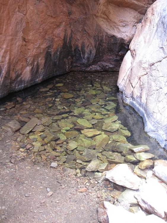
A liitle pool near the rockfall.
Me having a secret puff, unfortunately not.
|