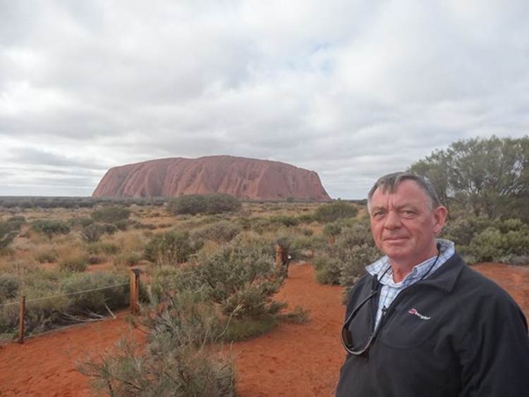
Uluru by day
A bit of earth history first. About 550 million years ago erosion was taking place in central Australia on a tall mountain range called the Petermann Ranges. Rainwater running down the mountains eroded sand and rock and dropped it into big depositional sedimentary fans on the surrounding plains. One fan was mainly composed of water smoothed rock and the other was mainly sand. Both fans were killometers thick. About 500 million years ago the whole area became covered in sea. Sand and mud fell to the bottom of the sea and covered the seabed including the fans. The weight of the new seabed turned both it and the fans beneath into rock. The rock fan became a conglomerate rock – one with lots of different sized stones in it. The sand fan turned into sandstone (called arkose). About 400 million years ago, the sea disappeared and the whole of Central Australia started to get squashed. Some rocks folded and tilted. The rocky fan turned slightly but the sand fan tilted 90 degrees and the layers of sandstone almost stood on end. Over the last 300 million years the softer rocks have eroded away, leaving behind the hard parts of the two old fans exposed. Kata Tjuta (formerly the Olgas) is a part of the old rocky fan. Uluru is part of the sandstone fan with its beds of sandstone nealry vertical. The area around Uluru and Kata Tjuta was been covered in wind blown sand plains and dunes about 30,000 years ago and this remain today. Both Kata Tjuta and Uluru are huge slabs of rock that continue below the ground for possibly 5 to 6 kilometers. Uluru stands just over 340m above the ground.
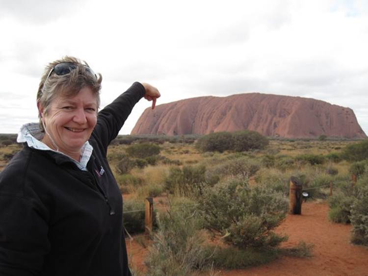
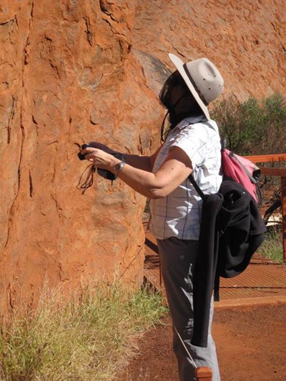
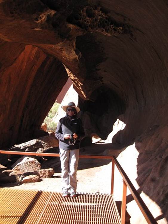
And me..
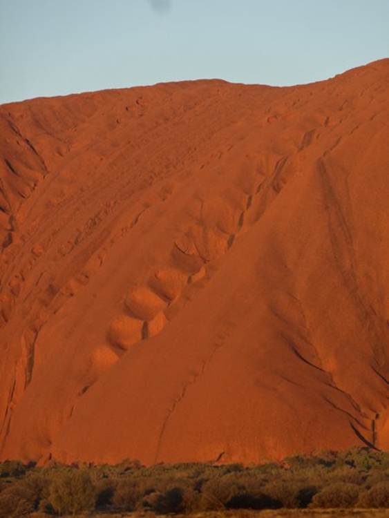
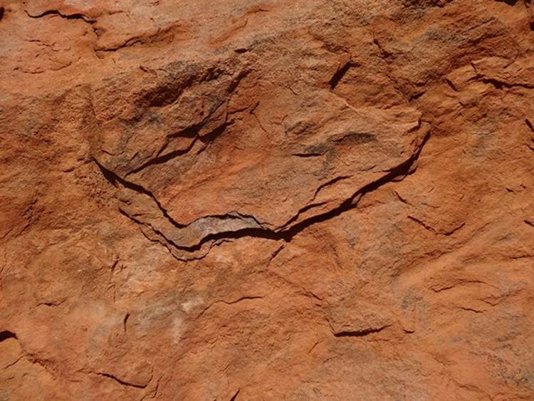
In the middle of the next picture there are a series of depressions coming down from the top of the rock. When it rains this is a cascading waterfall. You can also see the horizontal layers of sand that have been turn through 90 degrees so they are now vertical.
The black marks and lines are algae which grow where the water flows.
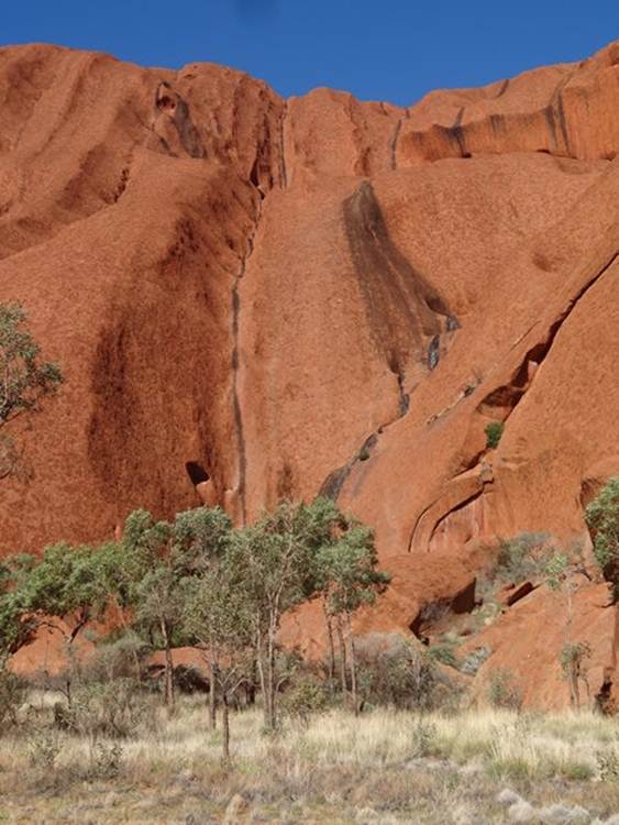
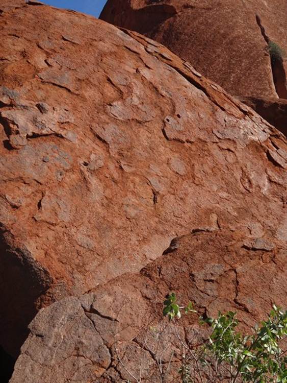
Close up, much of the surface of Uluru is flaky red with grey patches. The flakes are bits of rock that are left after water and atmospheric oxygen have eroded the rest of the rock. Uluru is composed of a sedimentary rock called arkose, a sandstone with a high content of feldspar. Oxidation of the iron-rich minerals in the sandstone turns the rock surface to a red-brown rusty colour.
The grey is the original colour of the arkose. You can just about see it here where a piece of arkose has recently flaked off.
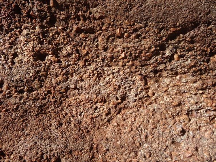
You can just make out the small sized grains in the rock. There are no fossils in the rock. When these were laid down there were soft bodied animals in the sea but nothing on land.
Yes that really is exfoliation.
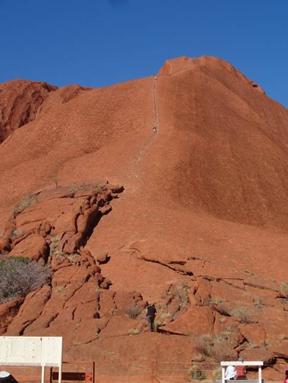
This is the walk you can do to the top of Uluru. Not encouraged by the locals and you can only do it on a calm day. You can just make out the chain that you can hang on to as you go up and down. Paul was going to do this until he saw how steep it was, don’t think his vertigo would be able to cope with this. Going up might be OK, coming down would be a nightmare. You can just make out two tiny figures.
And again you can just make out some walkers here.
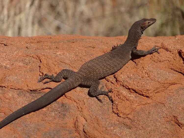
Spotted this sand goanna sunning itself.
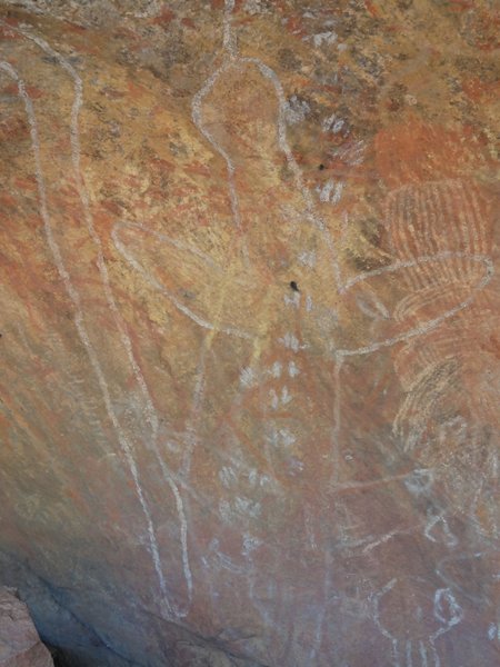
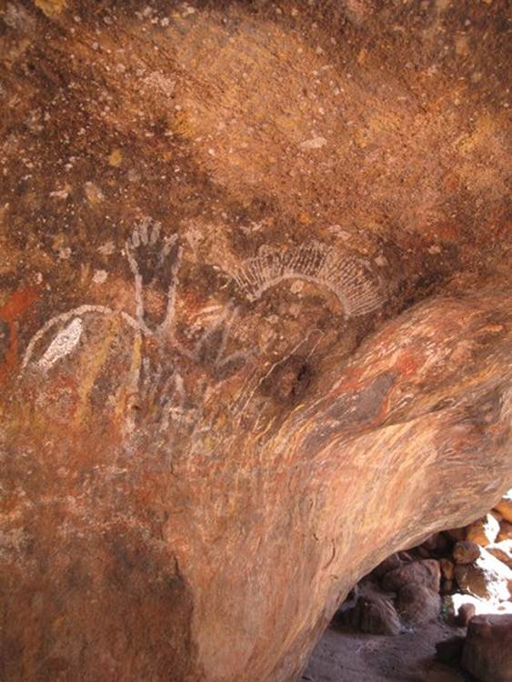
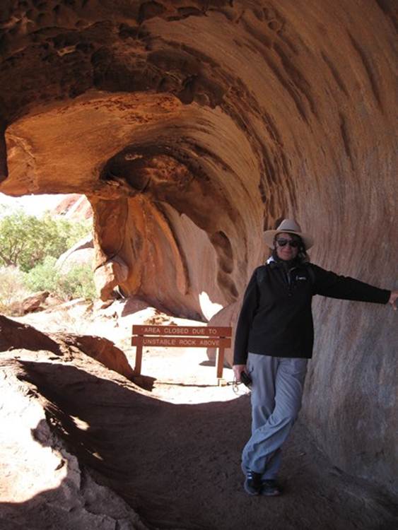
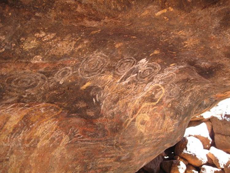
The second walk was the Mala Walk, a self guided walk along the side of Uluru where aboriginals used to camp and prepare for ceremonies. The physical characteristics of Uluru are of great significance to the Ananga tribal owners as the caves and rock features tell of the activities of ancestral Mala (rufous hare-wallaby people) during creation time and the making of their laws. There were several rock overhangs that were used as camping places. This is the teaching cave, where the ‘bush boys’ stayed during ceremonies. Bush boys are those at that stage of life where they begin to learn relevant skills to become a man. They were taught here by their grandfathers and separated from the rest of their family. Traditionally this stage of their lives lasted for several years until the boy prooved his hunting skills, self reliance and discipline. The older men taught the bush boys the layout of the land through picture, just like on a blackboard. They showed them tracks; where the waterholes were etc. They took them out into the bush to learn about the country: where to find food, water, tool making trees etc. There are layers upon layers of drawings in this ‘cave’. The long white pole on the LHS is a ceremonial pole, at the north (or south, I forget which) end of Uluru is a lump of rock that looks like this resting against the edge of Uluru. Just to the right, again in white you can just about make out the body of a goanna.
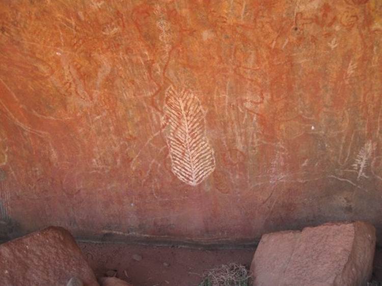
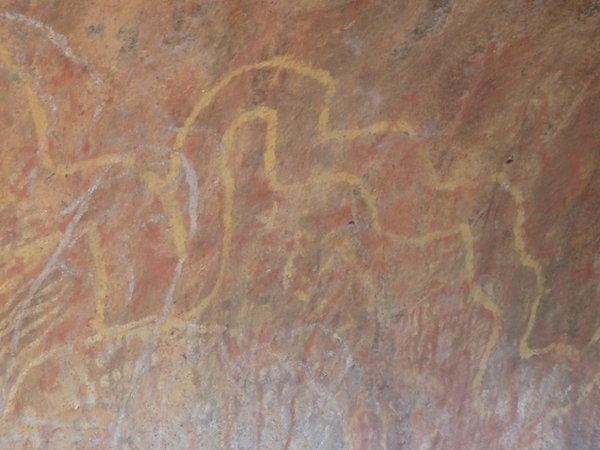
This white outline that looks like a leaf is the honey grevillea which is in flower at the moment.
Just above the honey grevillea is a the outline of a poisonous snake in red – it has bloated head region where the poison glands are.
The yellow is the python, no bloated head.
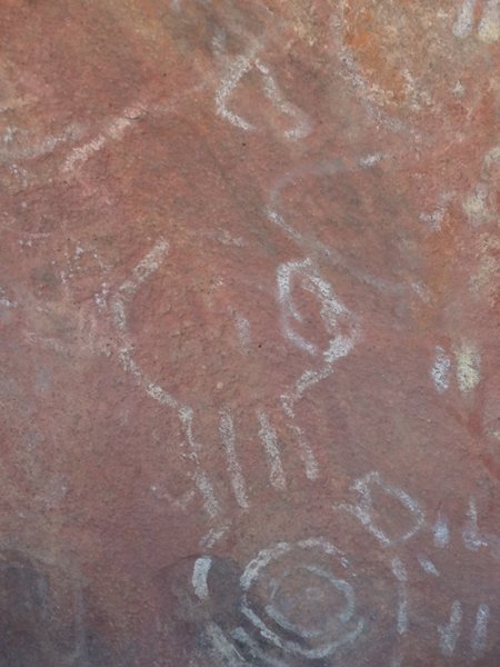
Something with four legs of roughly even length, could be a dingo. The bullseye at the bottom means waterhole.
Three toes of an emu in the middle of the picture.
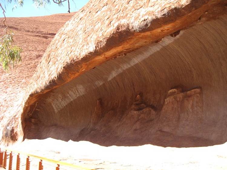
This is the senior Mala men’s cave where they came to prepare for inma (ceremonies), the bush boys cave is about 5m away. A combination of wind and water weathering has produced the overhangs. The men would sit here, fix their weopons, make camp, no doubt have a good jaw, keep an eye on the bush boys around the corner and watch out for the younger men returning from the hunt. Legend has it that there was a bit of a conflict with a tribe further away to the south (or north). Anyway a pair of hunters from the north (or south) came across the Ananga preparing for inma. They were also about to prepare for inma and suggested that the two clans merge their inma ceremonies. The Ananga refused as they were already prepared. The two hunters went back to their own people, told the story and their people were peeved not to have their ceremonies joined and so put an evil spirit upon the Ananga. Now the evil spirit could take many forms on its journey to Uluru, but the kingfisher woman who lived high up on Uluru, saw the spirit change shape and warned the women and children, who ran away. The men also tried to run away except for five of them who decided to stay behind. The lumps on the back wall are the five old men who have gradually merged into the rock and so still keep guard. Eventually the Ananga captured the evil spirit, dug a hole and buried it, if you dig it up bad things will happen. Guess where they buried it, under ground near Olympic Dam mine. Spooky aye.
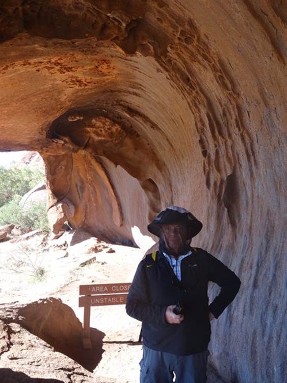
A little further along the path is the kitchen cave and women’s where, well I’m sure you can guess. The men would bring meat here and the women tubers, fruit and small lizards and grubs. They would cook the food and then people would collect it and deliver it to their families and the old peoples and bush boys caves around the corner. Here’s me
And here’s Paul.
This is the old folks cave, where the men and women stayed together. The old men would make sure that the women and young children didn’t interupt the mens ceremnies when they took place.
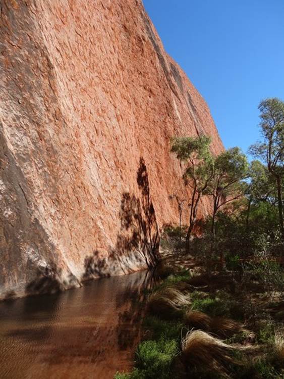
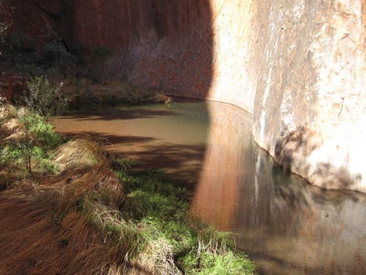
The walk ends at this waterhole which lasts about 3 months of the year. The vertical rock walls on boths sides of the approaches to the waterhole make it a good place to hunt and trap animals that come to drink at the waterhole.
You can see the black algae marks clearly here and the flattened grass where the waterhole overflowed earlier in the month.
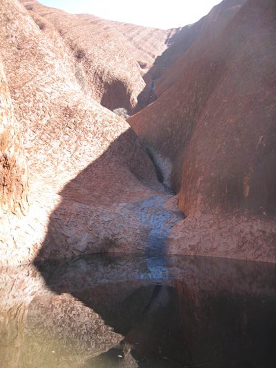
The other short walk we did was to the Kantju Gorge and waterhole. This is the most reliable watersource around Uluru, lasts for 11 months of the year. You can just about make out pale area just above the water, which is the previous waterline. The water source here has been the main source of water for aboriginal ceremonies for generations. When hunting animals they always approached from the side so as not to frighten them away – I recon they have all been frightened. Anyway, if the aboriginals killed an emu they would always kill the last one after they had drunk and turned away. This way the others would never be frightened to return to the waterhole, just wonder where their mate went, presumeably for a very short time span.
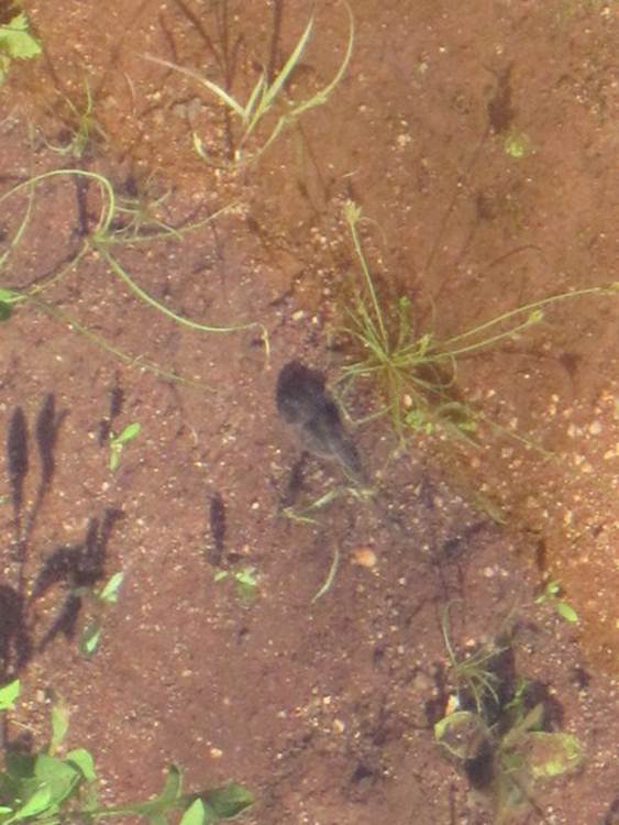
After the rain burrowing frogs come out and quickly search for a mate. The females lay many eggs that hatch into tadpoles which have to develop quickly into frogs before the waterhole dries out. You just about see one in this photograph:
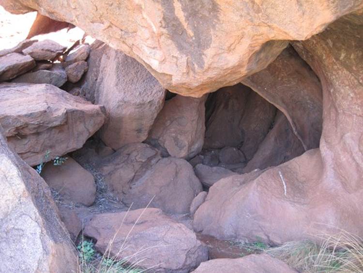
This small cave was used by yound boys to hide and watch the men hunt. The boys would look through a small hole at the bottom of the picture, watching for emu and kangeroo.
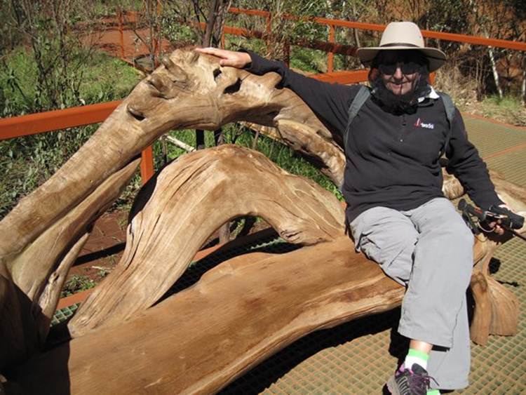
This is the family cave, Kulpi Mututjulu. At night around the campfire, people told stories, teaching the children about Uuru and painting on the rock. Series of waterholes at the top of the picture – a route to somewhere. . These benches are dotted around the walks. I want one – without the ants or termites.
Have I mentioned those flies recently?
Just counting. Apparently the park has 300,000 visitors a year. That’s approximately: one million in 3 years; ten million in 30 years; thirty million in ninety years. In other words, that makes Paul and I are one of the few that have visited in our lifetimes. And at £25 per person for a three day pass that’s a lot of money.
|