Rawene to Waipoua
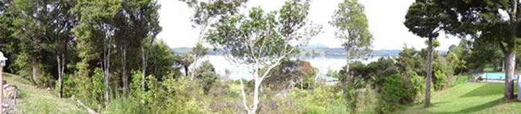
Position 35 44.968S 173 40.452E In the morning Paul took this shoot of view from van:
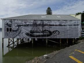
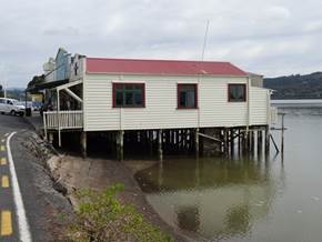
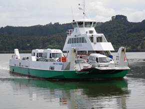
We then had to go down to the harbour to watch ferry come in…. Couple of boatsheds on the waterfront.
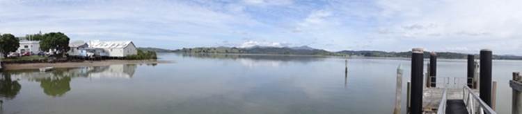
180 of this part of Hokianga estuary from the ferry wharf.
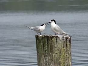
A couple of terns and just one of the 20 shots, that Paul took, of the car ferry.
Ever seen a prickly pear in flower? Now you have:
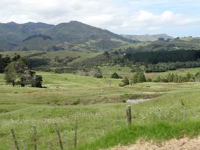
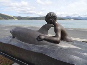
Continuing on SH12 down the west coast of North Island skirting the Hokianga estuary. View along the way. At a small town/village called Opononi, a dolphin named Opo (!) was buried, another dolphin who stayed and played and then dropped down dead.
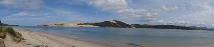
View of the Hokianga estuary from Opononi, the mouth is to the left.
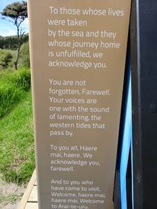
When Kupe, the ancestor of the Maori left Aotearoa he said that this place was the ‘spring of the world of light’. How do they know that? Not sure if he meant NZ (Aotearoa) or the harbour. Hokianga means returning place – although Kupe said he would not return this way again. No logic sometimes. We are on the south side sand dunes of the Hokianga estuary. They are called Arai-te-uru and, with the south side sand dunes called Niua, are the guardians of the bay. Kupe dedicated the lands of Hokianga to his ancestors and left sea monsters to guard the entrance to the bay. They watch every vessel going between them. There is a lovely dedication at the entrance to the small reserve at the Arai-te-uru. It .. well read it for yourself…
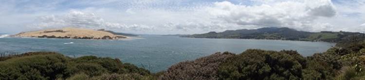
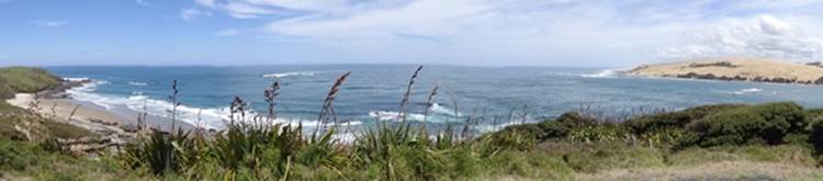
Kupe’s ancestors did indeed return and settle in the bay below. View of Hokianga harbour and entrance to the estuary.
Looking towards the sand hills at the north and south sides of estuary mouth.
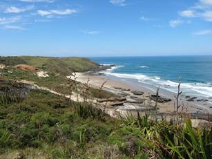
180 looking out onto the Pacific.
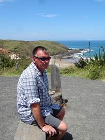
Paul chilling.
|