Rhu and Paul's volcanic adventure

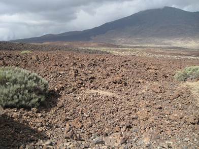
Position 28 28.05N 16 14.68W We spent a day wandering around Mt teide and surrounding area. Last eruption was in 1798 so you could see good gradation in places from colonisation of previous eruptions to virtually none on the 1798 eruption. Just goes to show how long it takes to weather a bit of rock. Two lava flows, one a brighter red than the other – these are from the 1798 eruption.
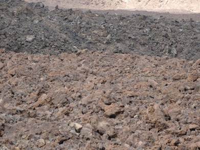
Close up of lava:
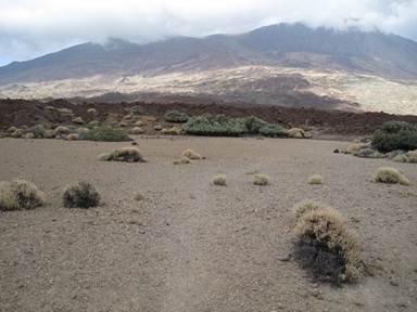
Because it’s relatively flat in places, a large sedimentary basin has formed, filled with all that eroding volcanic rock. In the spring it gets covered for a short period in melt water and loads of flowers blossom. You can see the lava front in the background.
Obviously some of the lava has been around a long time and has intruded into softer material. As a result you can get some great shapes formed as the softer rock is eroded. This is Cinderella slipper:
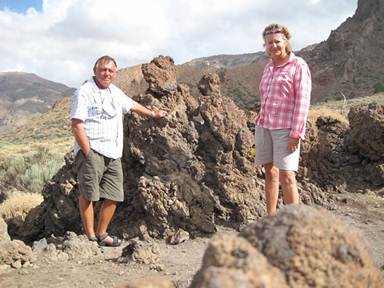
And here’s Paul and I in front of a lava lump of what looks like two horrified people!
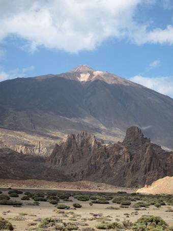
Mount Teide – with snow on the top. Spain’s highest point.
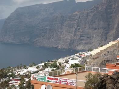
Los Gigantes – these cliffs drop straight into sea (obviously) and then down to abyssal plain. We are usually in more than 1000m in a km offshore – so most of the time we have no depth, or rather the last depth recorded.
|
