Aoraki or Mount Cook National Park 1
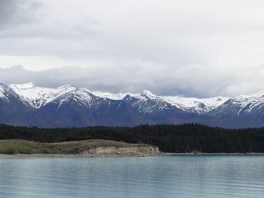
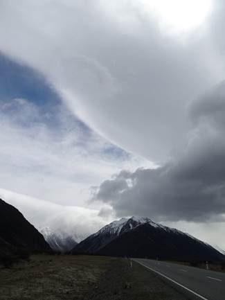
Position 43 42.132S 170 09.425E A very wet and windy day. Mountain range running alongside Lake Pukaki, about 50km from Mount Cook. Liked the cloud formation in the RH photo.
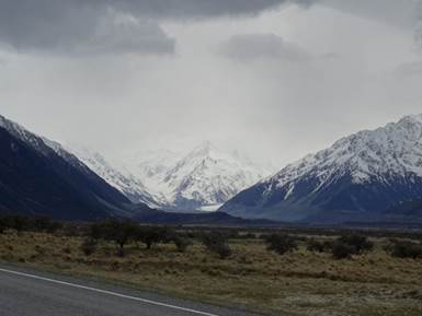
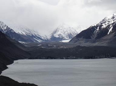
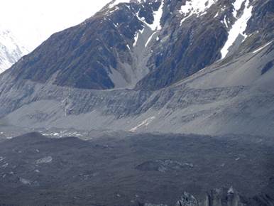
Mount Cook is in the clouds through the gap to the left somewhere. The Maori call it Aoraki – the cloud piercer, not much of that going on today. You can just make out the Tasman glacier as the white blob middle left. The hill in front is a lateral moraine – rock debris left at melting point of a former glacier.
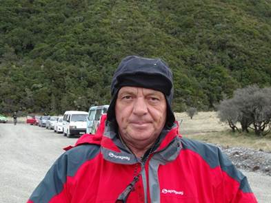
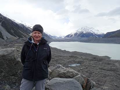
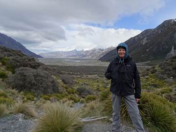
Paul in the car park before we walked up to the glacier viewing point. Believe me it was cold. Really, really cold. And we didn’t pack the thermals. Rock strewn slope, which was part of lateral moraine, that we had to climb to get to the viewing point – there was a track.
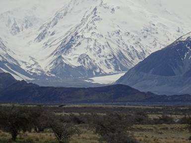
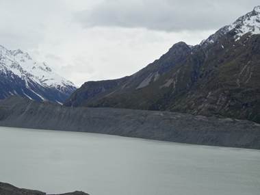
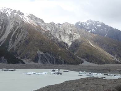
The Tasman Glacier is the longest glacier in NZ – 24km long and 3km wide, in 2011. Shrinking at a rate of 450 – 820 m year. They recon it will be 20km long by 2027. In 1890 it was 29km long and 14,500 years ago, 85km long. It was formed about 2 million years ago. You can see the rocks on the top of the glacier – ugly or what.
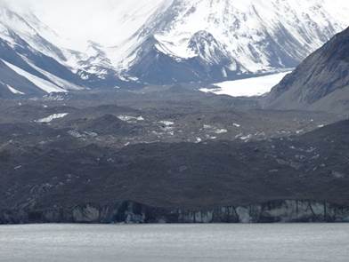
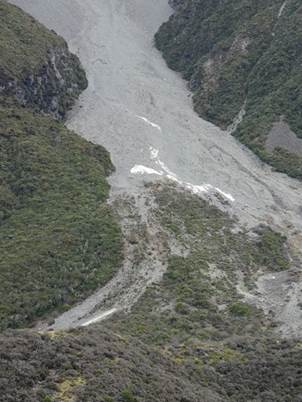
Not a very good view of the glacier really, actually much better view in this small glacier going up the side of one of the mountains. You can make out the ice underneath the rocks.
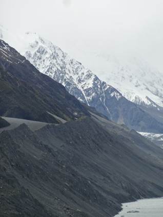
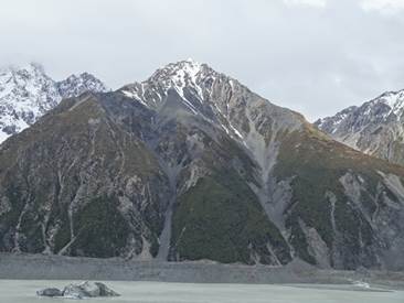
Just below the upper notch in the LH picture is the where the glacier reached 14,500 years ago. The pale patch in the RHS picture shows where that glacier gouged away the sides of the mountains.
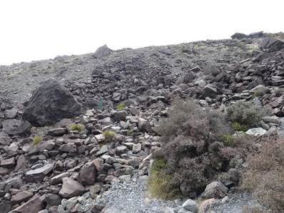
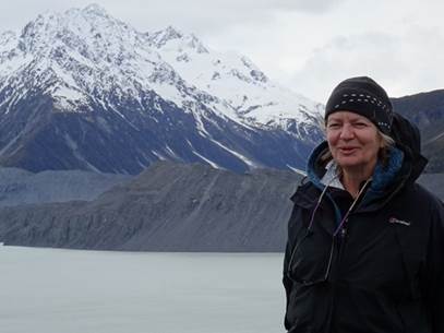
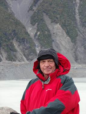
When the ice starts to melt it leaves the rock behind in the ablation zone. That’s all rock behind me. In 1990 the glacier was 26km long and filled all the valley behind me. Tasman glacier has melted from the top down and left these huge boulder fields.
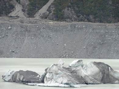
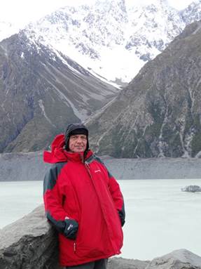
Few icebergs floating in the river.
Normally when the rocks reach the end of the glacier, as it were, the ice melts and the rocks get dropped. The huge rock banks behind me are from former glaciers – called moraines. You can see them in the picture above behind the ice bergs. The one in the RH picture were a short distance away.
View down the valley from the viewing point (on top of a moraine) – which would have been filled with ice prior and up to the 1890s. The river now runs through a rocky plain, called braided river systems. Important habitats for lots of wading birds, the black stilt – the world’s most endangered wading birds - oyster catchers and others I cannot remember. Mountain on the RHS is called the Acolyte.
Paul with the Acolyte behind him.
|