Mataranka Homestead
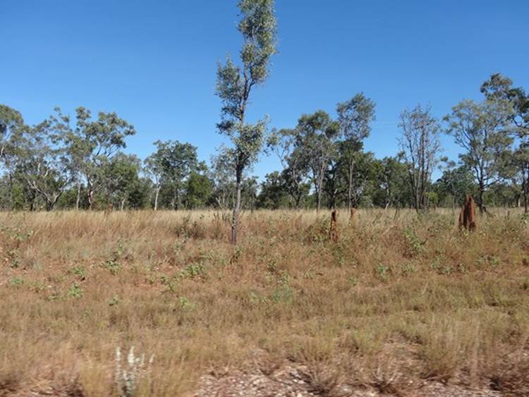
Position 14 55.33S 133 05.91E Stopped off Mataranka, which is close to Elsey National Park for a couple of days. Scenery becoming greener and the spinifex has become replaced by grass.
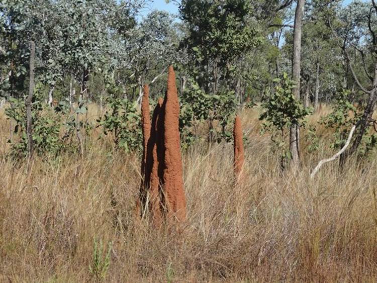
and those termite hills are growing.
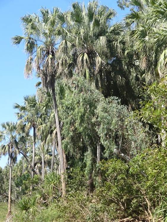
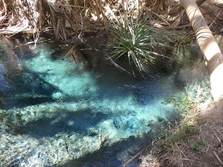
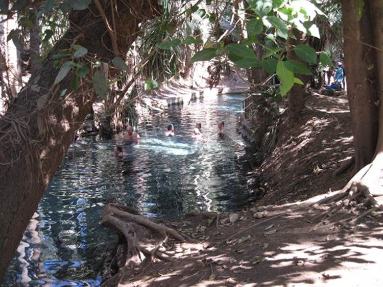
We stayed at Mataranka Homestead – which, it has to be said, is not the nicest place we have stayed is right next door to Rainbow Spring and thermal pool. Literally walk 400m and then take a dip. You can tell we are back in the tropics – lots of palms. These are Livistonia mariae ssp. rigida. Really tall.
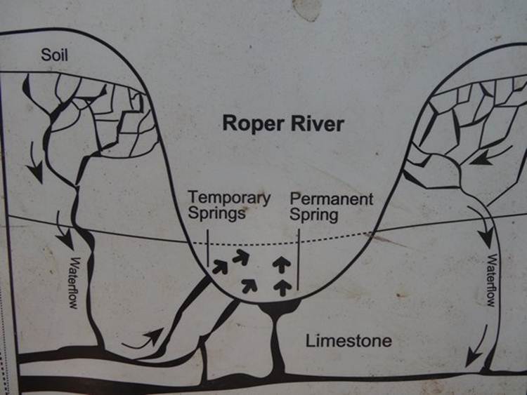
There are large reservoirs of water 30 to 100 metres underground. The ground temperature at that depth is about 34C and that heats the water. The springs are not true hot springs in that no underground hotspot heating the water. You can just about make out rainbow springs here.
30.5 million litres of spring water per day flow through the thermal pool and out into the Waterhouse River and then into the Roper River. This water flows all year round. The thermal pool was originally used by forces officers during WWII.
The soldiers got to use the river:
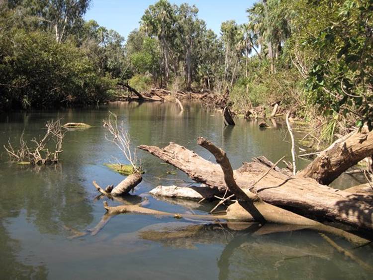
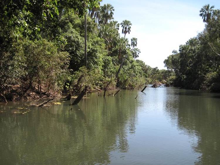
You can see why you have to be careful when you boat up these rivers. Dead trees everywhere.
The other thing that are everywhere are:
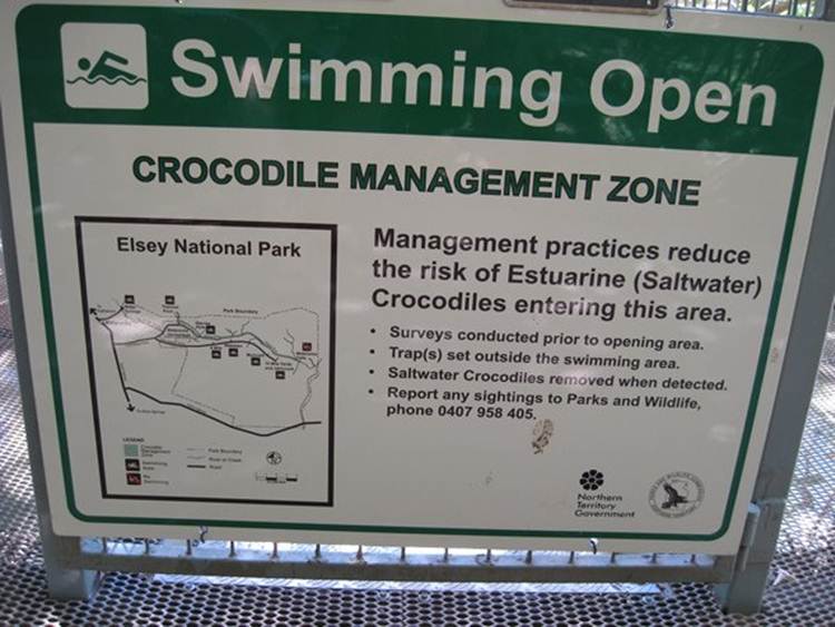
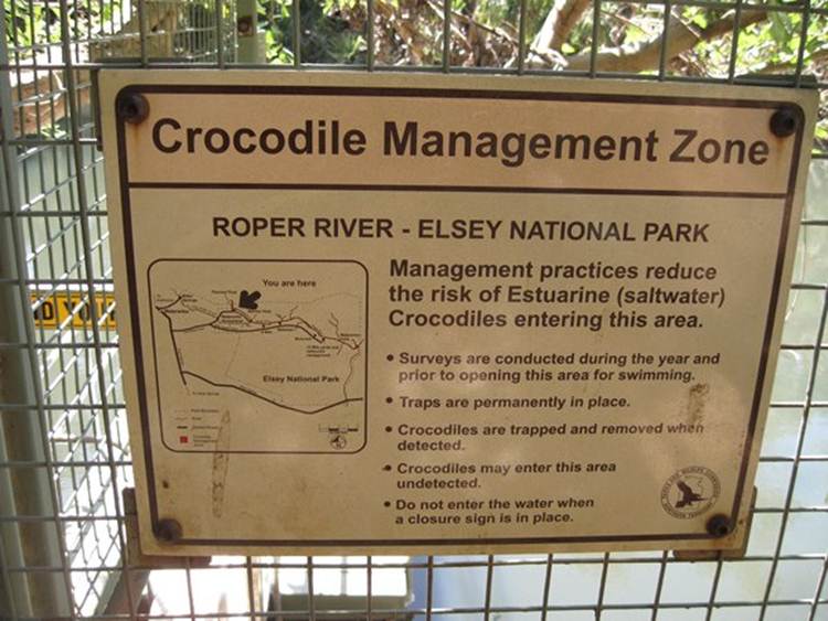
During the wet season waters obviously rise and the saltwater crocodiles (salties) come further up the rivers. Lots of the swimming areas have Crocodile Management Plans:
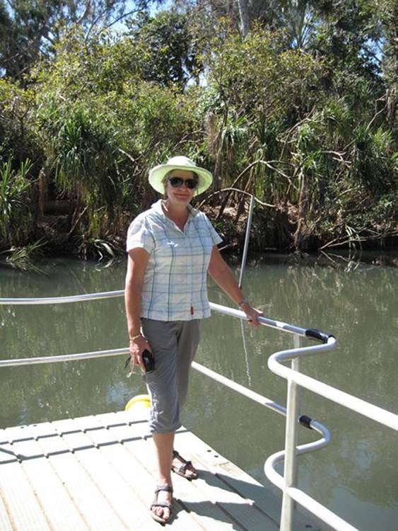
Bet they didn’t have those during WWII, but then I suppose people just ‘shot the croc’. Could be a game. People not worried about the freshwater crocodiles – just give you a nip but don’t kill you! Me on the river swimming platform. Needless to say we used the thermal pool.
Why are there springs here? The Roper river has cut through permeable surface rock into underlying limestone layer. Water flows underground from the surrounding higher country down towards Mataranka and the Rope River. Water that fell maybe thousands of years ago and hundreds of kilometres away has collected in limestone cracks and underground caves. Each summer, the wet season tops un the underground aquifers. Where the land surface has been worn away and cuts the underground water level, water flows out of the ground as springs. The line in the middle of the diagram is the height of the permanent water table.
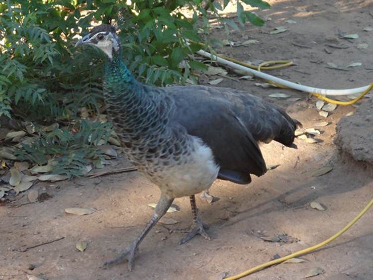
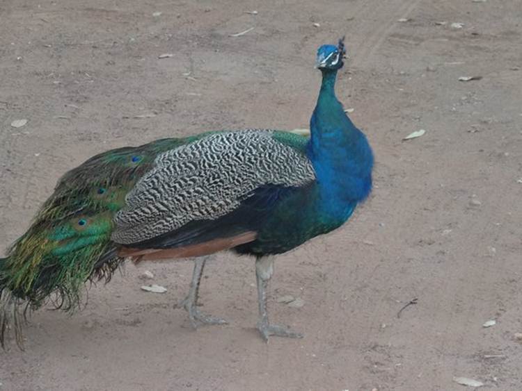
At the campsite we had peacocks
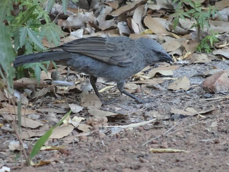
And these birds wandering around. Very gregarious and noisy and look like nothing in my mega expensive bird book, so I give up.
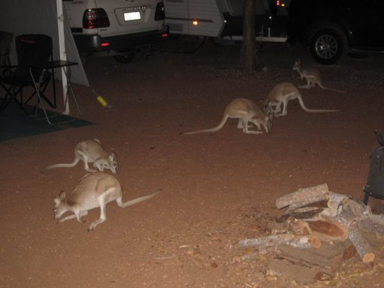
As well as a load of pretty faced wallabies.
|