Pictures of Cocos Keeling
Aurora_b
Mike and Liz Downing
Tue 15 Oct 2013 19:01
|
Some pictures from our passage to Cocos Keeling and Cocos
Keeling itself.
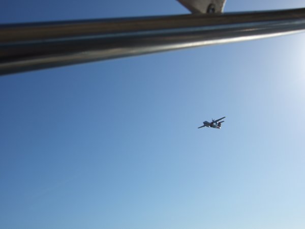 The friendly customs plane that checked up
on us most days until we were well clear
of Australia.
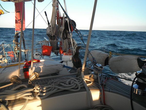 The booby that hitched a ride with us for
one night.
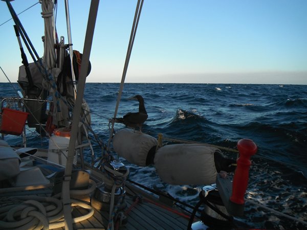 It tried several different spots to get a
rest. Balancing with webbed feet on a swinging fender was
not one of its better
choices!
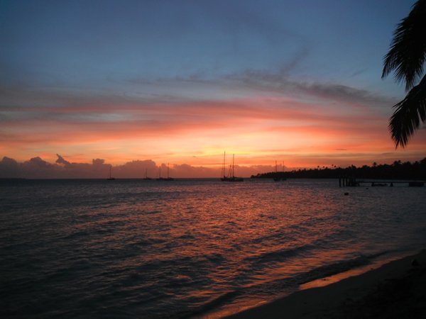
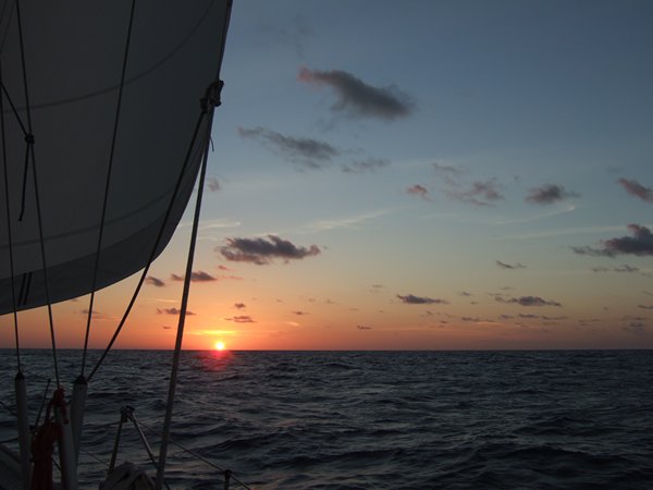 Sailing off into the
sunset!
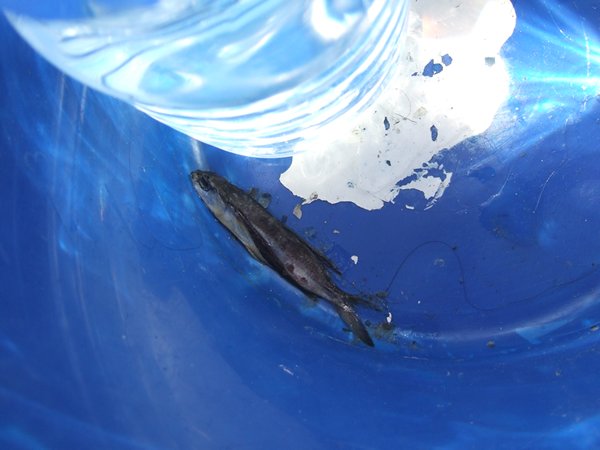 We had more flying fish on deck on this
passage than on any other, sometimes finding 8 or
more
in the morning. We had an old bucket in the
cockpit and this one flew over the side deck, cleared the
cockpit combing and landed straight in the
bucket. Had we realised we would have thrown it back,
but we didn't and had to scrape it off the
bottom of the bucket the next day! We did manage to
rescue
a few when we heard them thrashing on
deck.
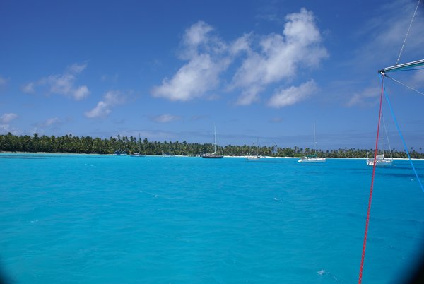 The anchorage at Direction Island. The
lagoon at Cocos Keeling is quite big (about 7 miles by 7
miles),
but there are coral heads scattered
everywhere and the lagoon in front of Direction Island is
the
only place you are allowed to
anchor.
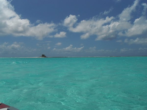
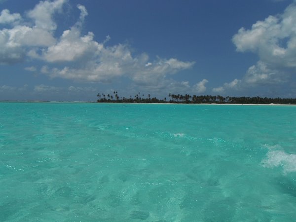
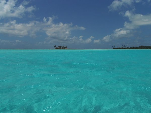
 It's difficult not to take pictures of the
water when it's this colour!
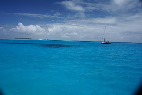 Jacaranda with Home Island in the
background.
 An asylum seeker boat. Not many arrive here
with most heading for Christmas Island which is
closer
to Indonesia. Once intercepted they are
normally burnt and the asylum seekers are shipped off
to
a processing centre. This one's been here
for quite a while and has survived as it was stolen
before
being used and the true owner wants it
back.
 It doesn't get much
better!
  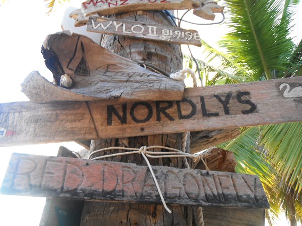 Those with time enough to do it leave a
reminder in keeping with the surroundings. We met
Nordlys
in the Caribbean.
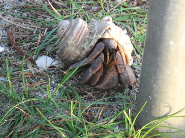 Hermit crabs are everywhere ashore as the
sun starts to go down.
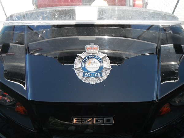 The police car on Home
Island...........
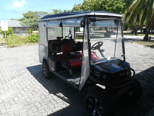 ............. a golf cart! It's only a small
settlement, but all the roads are paved like
this.
 Prison Island, nestling on the reef between
Direction Island and Home Island.
 Our trip in the dinghy to Home Island - it's
like this virtually the whole way.
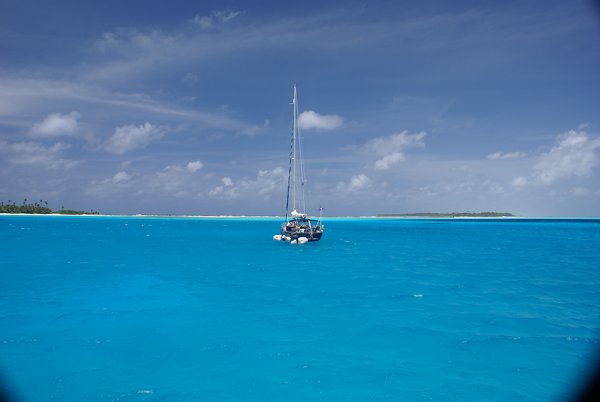
  Aurora B with Direction Island behind. The
islands and reef give great protection from the seas,
but
not from the wind and as this picture shows,
we have often been stern-to to the beach. Not ideal,
but the holding appears good.
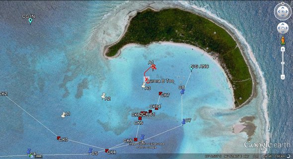 Direction Island and the anchorage in front
of it. A chart I created using Google
Earth.
The cross is where we finally anchored, A1 was our first
attempt but a bit too close to some coral. The other lines are the
different courses I plotted to get into the anchorage. We chose the centre one,
but went straight (rather than the dog leg) and never had less than 9ft
even though it was only an hour after low water. It was disconcerting
as the water is so clear, the coral we went over looked much shallower than it
was. The rip, bottom right, can clearly be seen
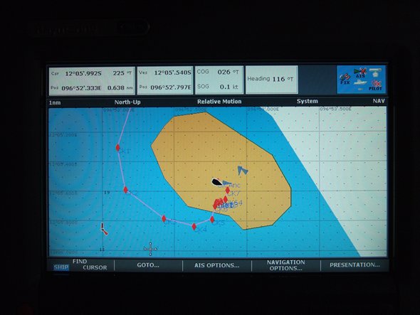 Our anchor position shown on our Navionics
chart on the chartplotter - it clearly puts us in the
middle
of the island! (Looking at the Google Earth
picture above, of the same thing, the whole shape of
the
island on Navionics is
wrong.)
|