Tuamotu - Fakarava - Photos 1
Aurora_b
Mike and Liz Downing
Wed 25 Aug 2010 05:30
|
Fakarava is the second largest atoll in the Tuamotu islands,
being 32 miles long and 15 miles wide. This is virtually all lagoon, with a
thin stretch of reef surrounding it and there are small islands dotted
around on the reef. In Fakarava most of the north and east side of the
atoll has islands, all only a few feet above sea level and not very
wide. On the western and southern side there are fewer islands and the
reef, particularly on the western side, is completely under the water, so
it's a very dangerous place to sail. Needless to say, we approached from the
north east and went through the pass on the northern side to enter the
lagoon .
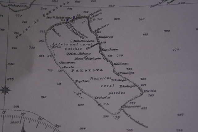 This may look like an old chart, but it's still
the current admiralty chart for this area! (In fathoms and
feet.)
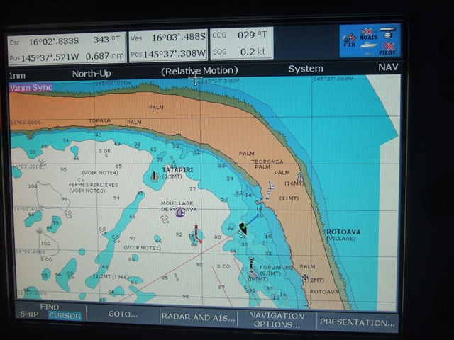 The chartplotter showing Aurora B at anchor inside
the lagoon. The drop-offs outside the reef are
dramatic, going from sea level almost straight
down to several thousand feet.
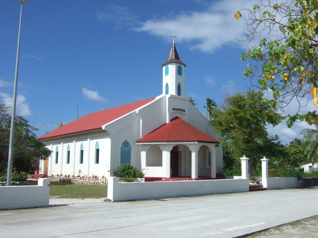 Fakarava has quite a community living there.
As is not uncommon here, the church is probably the
biggest
building on the atoll.
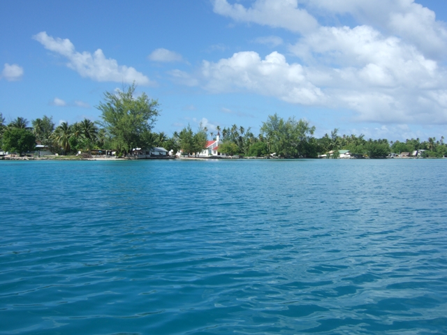 Approaching the church in the dinghy. With little
wind blowing the water in the lagoon is flat -
there's no swell in the lagoons, just wind blown
chop.
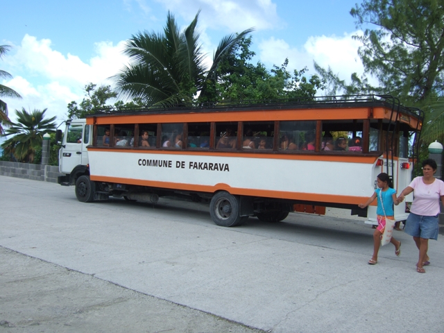 The school bus.
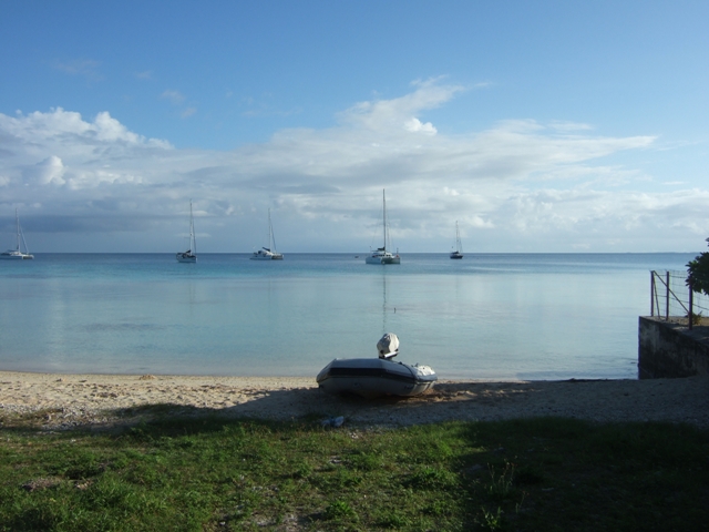 Looking out across the
lagoon.
|