Bay of Islands - Photos - Urupukapuka
Aurora_b
Mike and Liz Downing
Mon 17 Jan 2011 09:47
|
For the 2 weeks after Christmas we went out into the
islands to explore. Each day was a new anchorage or sometimes 2 new
anchorages as we sometimes stopped for lunch and found somewhere more secure for
the night, There are a lot of anchorages around each of the 6 or so main islands
and an equal number along the mainland shore line. The islands create a corridor
of protected water between them and the mainland where the sea is pretty flat
most of the time. The corridor is sort of horseshoe shaped so regardless of the
wind direction there is always somewhere safe to anchor. It's made even better
by the fact that the water is not very deep at all - acres and acres of water
between 15 and 25ft - with a bottom of thick, good holding mud. This makes
it ideal to set the anchor, but not so good when cleaning it off afterwards - it
gets everywhere! Water visibility is variable. In most of the mainland
anchorages visibility is only a few feet at most. Around the islands it's a lot
better; the best we've found being Moturua Island where we could see the
bottom 20ft below. The water temperature is, for us softies from the
tropics, cold! I hope we will get used to it in time. A number of the
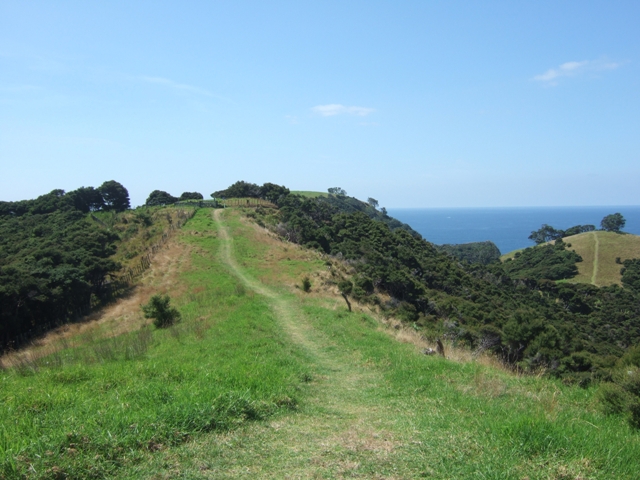
islands have good walking tracks on them with a different view round every
corner.
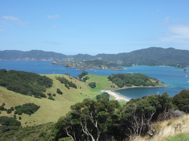
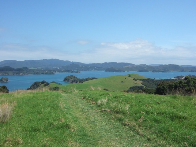
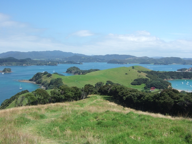
Urupukapuka is one of the larger islands, with some areas of
woodland, but a lot of it being a bit like downland at home.
The views from it are great as these photos show:
     There is a camp site on one of the
bays.
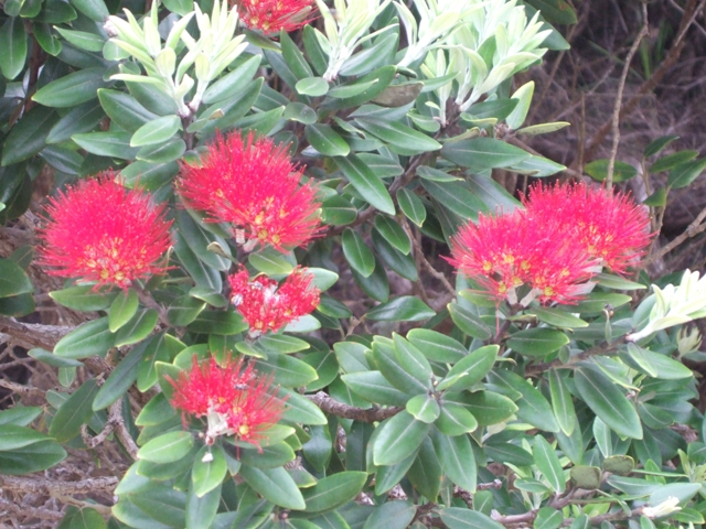
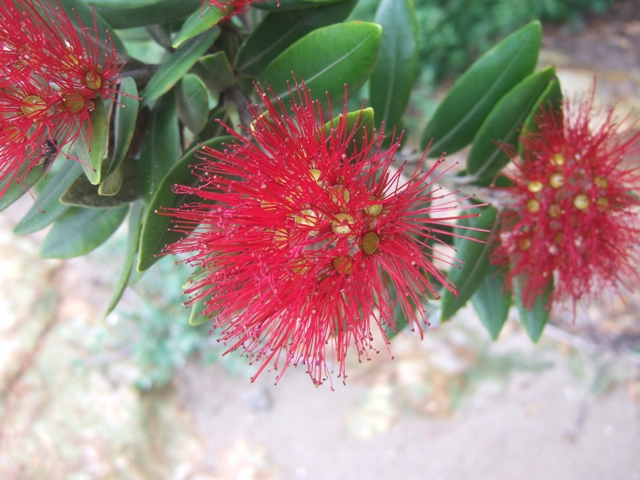
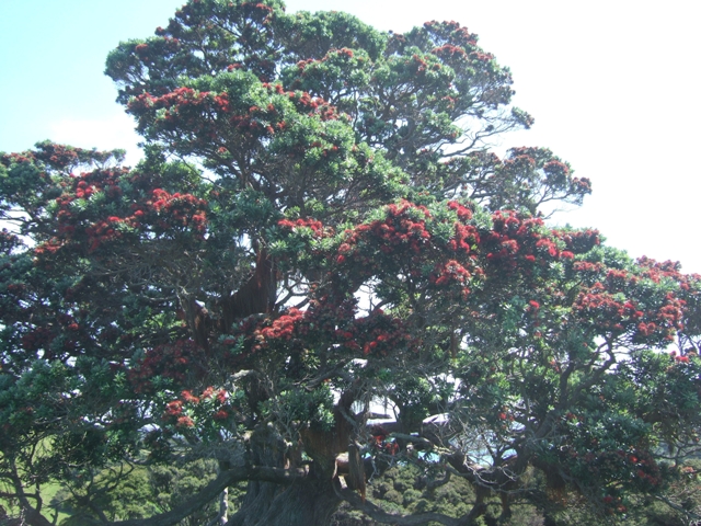 The Pohutukawa tree (above and below) , known as
the New Zealand Christmas tree as it flowers at Christmas
time
  |