Blog 44. Sunday am, Tifu. 03.42.74S 126.23.89E
Alcedo
David Batten
Sun 11 Aug 2019 08:54
It was a rather grim, grey morning as we sailed down the coast off South Buru trying to spot the entrance to Tifu which is well hidden from the sea.
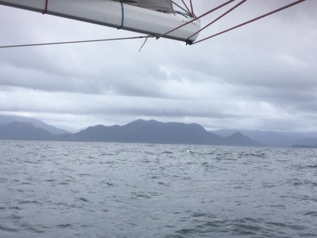
The rather unwelcoming coastline of South Buru.
As it happened, Grey Nurse and Marie Claire were in-front of us at the entrance and thanks to the Ovitalmap that The Skipper had downloaded onto his i devices, we entered the very narrow and rough entrance in a strong west going tide without problems.

A local supply boat with a fuel tanker on board clearing the rough, narrow entrance to. Tifu.
Neither the Garmin nor iSailor charts showed any details for the entrance to the harbour or the water in the harbour, so the Ovitalmap is essential for safe navigation here. The Garmin chart showed our track going across the land to get into the anchorage as per the photograph, while ISailor on the other hand, looked pretty good, but we would not like to have had to rely on it.
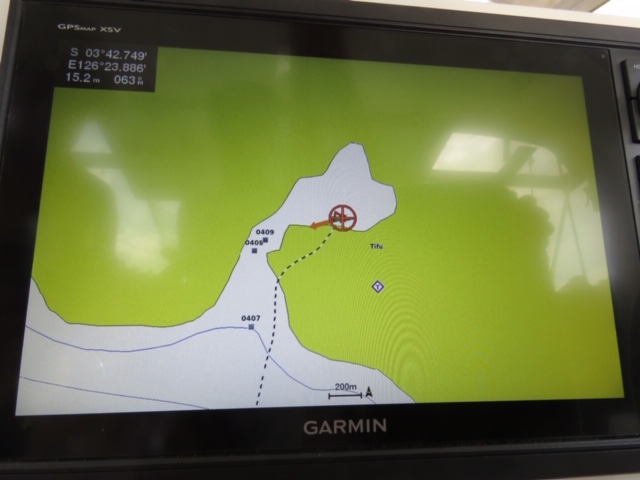
Our track according to the Garmin map
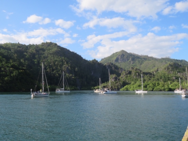
The anchorage at Tifu before it became crowded with Rally yachts.
Tifu is a very small village. It has a brand new power supply, not yet connected and the small generators get turned on at 18.00pm. There is no internet or mobile service and it has a track “road” leading out of the village to the next village that must be pretty impassible during heavy rain. The village itself is being developed along the harbour front, but the old part is very attractive.
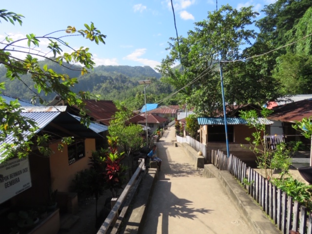
The old village street behind the one being more developed by the harbour.
Very few of the villagers speak English, but the Tourist Board has sent two guides to help us. We have had a tour of the village and taken some laundry in to be done by one of the local women and negotiated a price thanks to the guides. We have walked up the “road” to the school out of the village and bought some bananas that may or may not turn out to be plantains. We have watched Copra being loaded onto a boat off the concrete pier and there are now 12 yachts at anchor in the harbour and another one arriving.

Sorting the copra into big sacks before loading them onto the boat.

Each sack weighing approximately 75 Kg was carried to the boat before being stowed on deck.
The bird song in the morning is wonderful and the Skipper’s Wife is hoping to do some bird watching one morning.
The official program starts this afternoon with swimming races for the children, who are delightful as ever and who want to shake hands, take photographs and giggle when they do. It is very peaceful apart from the chainsaw cutting up wood to build new houses and we have caught up on sleep and boat jobs. All very satisfactory. The bell is now ringing for 8.00am Church, which much regret but we are not attending.
Alcedo
Sent from my iPad