Waiting for the weather, Bay of Islands 35:13.1S. 174:11.67E

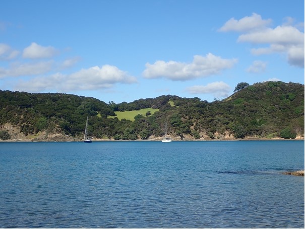
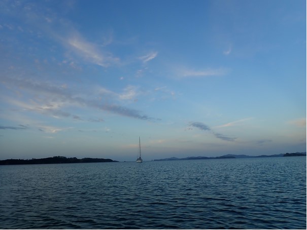
We left the Hatea river with Saga and sailed north to the Bay of Islands with them at the beginning of May. Since then we have been waiting for the right weather to leave for New Caledonia. We have submitted our intended notice of departure to Customs, but there has been a succession of troughs affecting New Zealand and some unseasonal depressions around our destination so we have decided to wait a bit longer. In the meantime we have been visiting old favourite anchorages and exploring one or two new ones as we sought shelter from the wind. Because we have many pictures from these places some of the pictures below are from earlier visits.
We left the river on the morning tide just ahead of Saga, but they soon overtook us and Thomas took this photo of Serenity with Whangarei Heads in the background
We were both sailing well and making good progress so we pressed on to Whangamumu Harbour, a favourite spot. The next day was lovely so we decided to stay where we were and enjoyed a walk on the beach as all the surrounding walking tracks were closed to protect the Kauri trees from Kauri dieback disease.
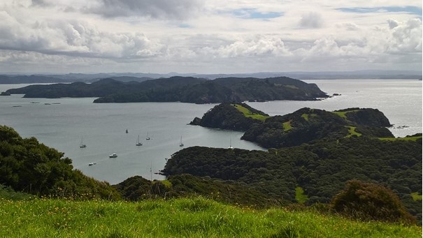
Urapukapuka Island, as well as having a great name, has plenty of walking and several good anchorages so it was our first stop when we got up to Bay of Islands and we’ve been back a couple of times more in the last month.
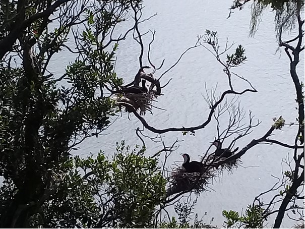
In all our visits to Urapukapuka we have never bothered with the 5 minute diversion from the walking track to the Pa site. On our last visit we took it and were rewarded with the sight of this Shag colony nesting in the trees below the track
We were also rewarded with this amazing sunset as we enjoyed having the Paradise Bay anchorage to ourselves
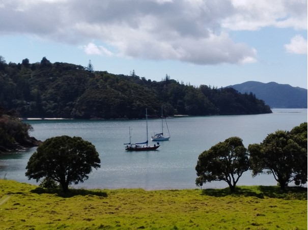
The anchorage between 2 islands at Moturua Island is well protected from westerly winds, but can get a lot of swell. In good conditions its lovely and the island is part of Project Island Song which aims to restore the habitat needed by native birds. The result is amazing birdsong as you walk the single track that circles the island.
We haven’t anchored in Onewhero Bay before now. Its open to the east and any swell coming into Bay of Islands, but its handy for getting to Opua or Paihia to go to the town or chandleries
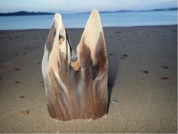
It is surrounded by private farmland, but there is a nice long beach for an evening walk, with lots of interesting driftwood.
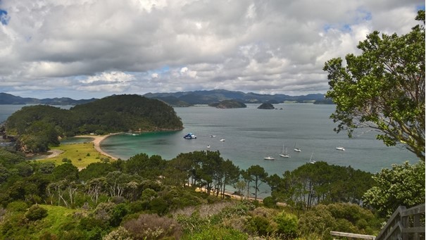
Roberton Island has a crescent shaped bay with low land in the middle and high points at either end. We spent a couple of windy nights here with the gusts finding their way over the low ground. There is a short but steep walk to a viewing platform at a Pa site
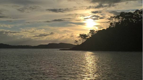
The tree lines against the morning and evening sun are always beautiful. We’ve spent the last weekend in Te Puna Inlet which gives good shelter from the east as a severe gale went past. We were well protected from wind and sea but had plenty of rain which we used to top up the water tanks. We are keeping the boat stocked with food and otherwise ready to go and continuing to watch the weather forecast. Its possible we will get away later this week, but no guarantees until we have gone! |

