Bonaire. 12:09.5N, 68:16.5W
|
For the second part of our trip to Bonaire the wind stayed roughly in the east sometimes a bit north and sometimes a bit south getting up to force five at times but down to almost nothing on Monday night. As we didn’t want to spent time
rolling and getting nowhere we motored for six hours till the wind returned by which time we were north of the last Venezuelan island and able to alter course for landfall on Bonaire.
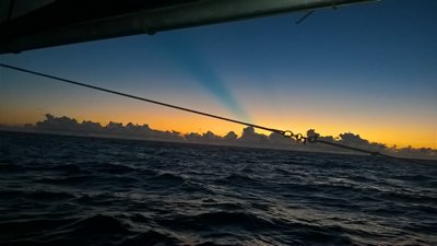
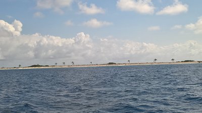
At sunset on the last night of our passage we saw this blue stripe as the sun went down As the sun rose on Tuesday the north end of the island was clearly visible, this is the highest end at 780ft as the south is salt pans and very low. From the east side of the island we could see over the top to the cruise ships tied up
on the west side.
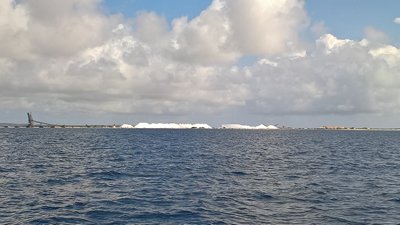
The south side of Bonaire from the sea
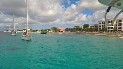
The salt works As we rounded the south of the island and headed up toward Kralendijk a line of pink flamingo flew across our bow, wonderful. Kralendijk is the main town and harbour on Bonaire and stretches along the seafront for a mile or so. There are moorings off the shore laid by the marine park authority and you have to use these or go into the marina. At $10 compared to
$38 per night and a breeze blowing over the boat to keep the temperature down plus a shorter walk to the shops means that the moorings are the best option. Its a lovely situation peacefully quiet most of the time, quite a change from the anchorages in the
windward and leeward island where there is music from shore until all hours. The water is crystal clear and you can see the bottom about 20ft down. The whole area from the high water mark out to 60m depth is controlled by the marine national park and you
need permits to dive or snorkel.
The moorings are on a narrow shelf of shallow water close in shore, Before the water gets very deep. The dark marks are rocks that you can clearly see through 5 meters of water.
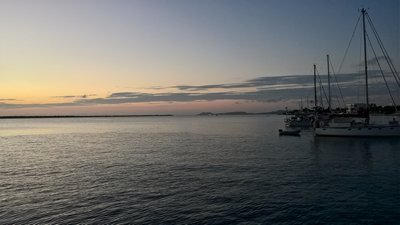
Sunset over Klein Bonaire The sailing fraternity here seems very friendly. The boats moored either side of us (one American and one Dutch) have both offered us help and advice, including the offer of transport if we visit the neighbouring island of Curacao. |