South Island Road Trip Part 1 - To Picton 41:17S, 174:0.3E

|
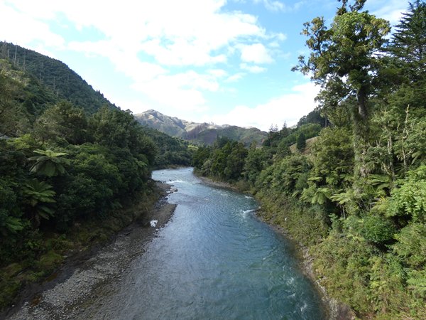
We had three and a half days to get to Wellington to catch the ferry to Picton, and we decided to have a look at the east coast of North Island on the way. There was a lot of driving involved; New Zealand roads, including the main state highways, tend to be single carriageway (dual carriageway is reserved for around the biggest cities) and are often windy as they go through the highlands. The scenery is often superb, with tree covered mountains and deep gorges, but it is difficult to pull off the road to take pictures.
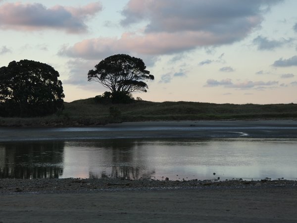
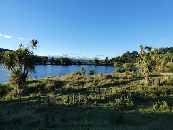
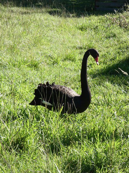
Mountains and rivers We have an app called Campermate which gives information on campsites across New Zealand and Australia and with its help we found 2 great free campsites on the way down. The first was beside a small estuary where we watched the sun go down as people fished in the river, and the second in a field beside a lake with black swans. Both were peaceful despite being relatively close to SH2.
Sunset at our first campsite ‘Te Ahiaua’ by the river C Campsite number 2 at Lake Tutira
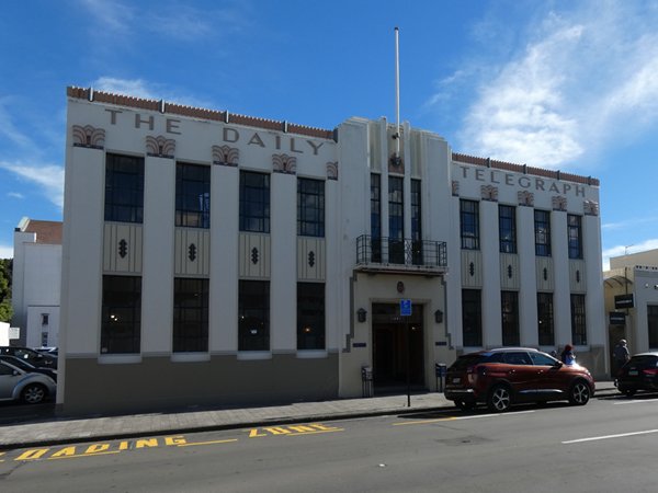
Black Swan at Lake Tutira Our route took us through Gisborne, Napier, which was rebuilt in Art Deco, Spanish Mission and Stripped Classic styles after an earthquake in 1931 and through the Hawkes Bay winemaking region where the roads were lined with vineyards and orchards.
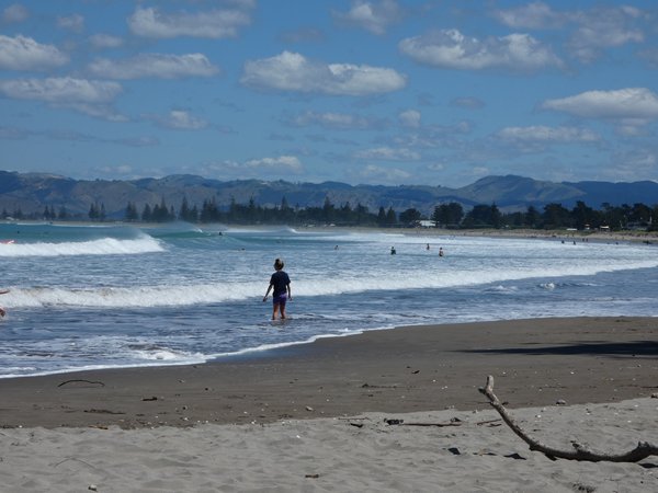
Lunch stop by the sea at Gisborne
Decorated buildings in Napier
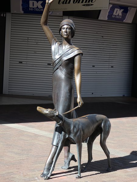
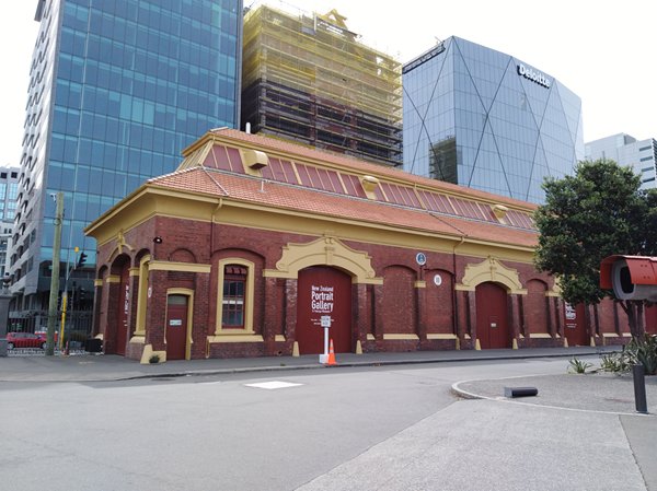
And this stylish sculpture in the city centre. We reached Wellington the day before our ferry sailing and had a chance to look around. The city is a mixture of old and new, with a lovely waterfront walkway, and an icecream shop selling ‘Indian Summer’ flavour; yoghurt, ginger and cardamom – really tasty.
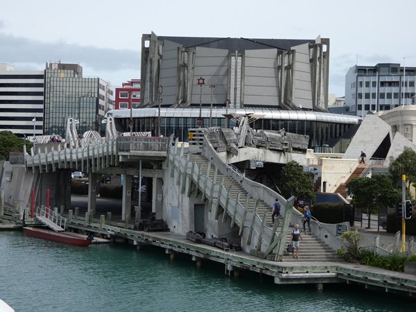
Wellington waterfront
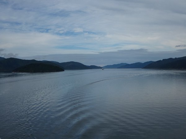
Old and new in Wellington The ferry trip was uneventful, with a calm sea, and the final approach to Picton through Queen Charlotte Sound was beautiful.
Queen Charlotte Sound Sent from Mail for Windows 10 |
