Diving, shopping and sailing. 16:43.53S, 179:43.7E

|
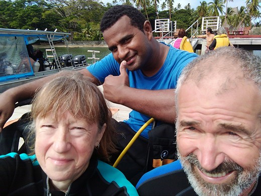
During our second week in Savusavu, we’d been watching the weather and it looked like the rain would stop and the wind ease down a bit on Thursday or Friday. We prepared to head east to explore the south coast of Vanua Levu, Taveuni and the area between. First we had an evening on board Morpheus with Jan, Richard and Chris. Chris is a singlehander sailing a boat called Sea Bear. On Wednesday morning we took advantage of preferential ‘local’ rates to go to the Jean Michel Cousteau resort’s dive centre to try Scuba diving. This was a Discover Diving course consisting of a short instruction video followed by kitting up and instruction in the pool and then a dive on the reef. We had a very patient instructor, Tua, he needed to be especially on the reef dive where Phil had difficulty equalising pressure in his ears and this slowed our descent. Once down we could understand how enjoyable it could be with lots to see and some beautiful colours in the coral but we weren’t sure that we would find it interesting enough to make it worth the cost of all the kit. Maybe we might go on to the next level at some time. This was a good place to do the course as the water is warm, pretty clear there’s good coral.
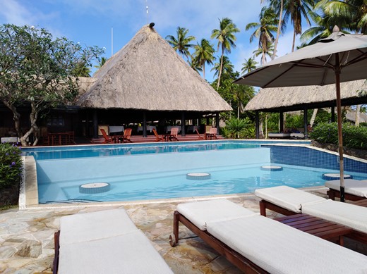
Jean Michel Cousteau resort
Ready to go out to the reef with Tua Wednesday afternoon we had arranged to go and buy ‘Kava’. This is the root of a shrub and is used throughout Polynesia in welcoming ceremonies and as a social drink. The ground down root is mixed with water to produce the drink which is
said to have properties of reducing anxiety, combatting depression and lowering blood pressure. We have yet to try it, but you are expected, indeed required, to present some of the root to the headman of the village if you are anchored in their lagoon. This
is called Sevusevu and is certainly required the further you get from the tourist centres. We have enough for 12 Sevusevu’s and we also carry rice and flour amongst other things to present to villagers or to barter with.
Kava Thursday we shopped, we were stocking up as we will not find too many shops over the next couple of months and certainly they are unlikely to be well stocked. Then Friday we made a final trip to the market for fresh fruit and veg. Alongside
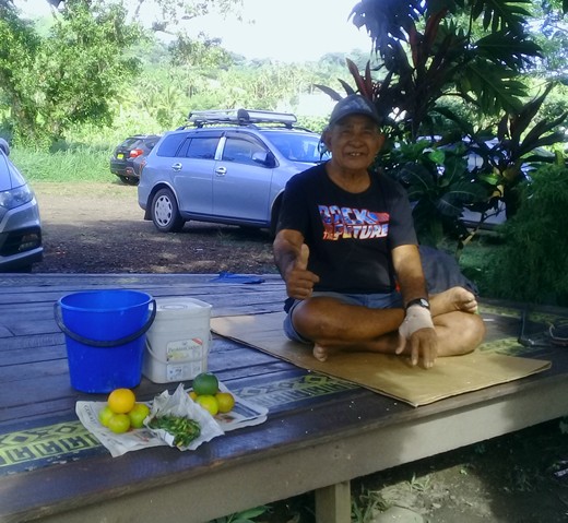
the road is a man who sells oranges and we have found these to be generally very good so we buy regularly from him. $2 for 5, the normal market price.
The orange seller, normally he has lots to sell but Friday morning he was down to his last two piles when we saw him, luckily we bought on Thursday.
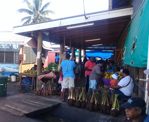
Entrance to the market
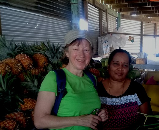
One of the stall holders. This lady was the only one to have Red and Green sweet peppers and we bought a lot of fruit from her also ginger and cucumber. We haven’t found any Courgettes for sale here but they use cucumbers in much the
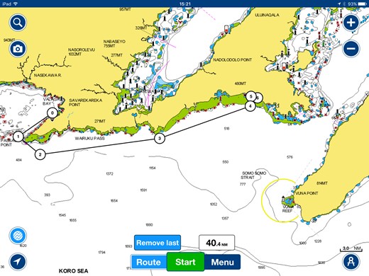
same way. While we were here the owner of Grace Road Kitchen, a Korean restaurant we have eaten in a couple of times, was also buying which we saw as a good recommendation. Friday morning another barge load of stone arrived for the resort so we were glad to depart and head down to the end of the bay and anchor overnight (number 1 on the chart below) a very windy anchorage on the edge of the reef.
Savusavu to Fawn Harbour.
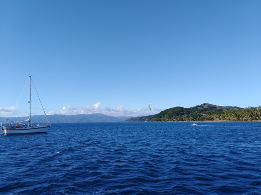
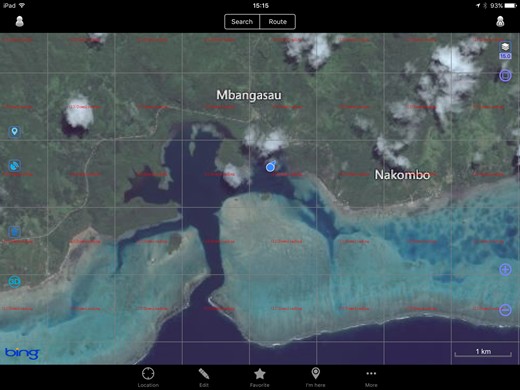
Sea Bear in the anchorage off the reef The charts which are available here both paper and electronic are not considered very accurate especially the charting of the reefs and passes so entering lagoons requires good light and someone standing up high to see the coral. We are lucky now that we can also use satellite mapping apps like google earth to follow our progress through the passes, these are as up to date views as you can get. We also have a lot of waypoints from people who have sailed here for years, plotted on the chartplotter we can use these to give us a safe route.
The pass into Fawn harbour on Ovital mapping, a satellite mapping system . The blue blob is our position from GPS and we could follow our progress through the pass using this. Sent from Mail for Windows 10 |
