Great Salt Pond, Block Island, Rhode Island
Harmonie
Don and Anne Myers
Fri 21 Sep 2007 03:52
|
41:11.569N 71:34.683W
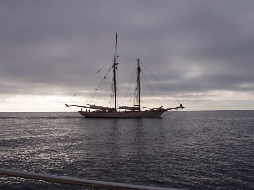
On Wednesday (9/19), we sailed (good wind) and then
motorsailed (good wind gone) the 60ish miles from Martha's Vineyard to Block
Island. This was the first in a series of long hops we plan to take on our
way to Manhattan. The day was fairly dreary as you can tell from the first
picture below - but it made for a cool looking picture of the schooner, don't
you think? We didn't find summer on Block Island either, but where we
anchored in Great Salt Pond was nice and quiet [non-boater translation: no wind,
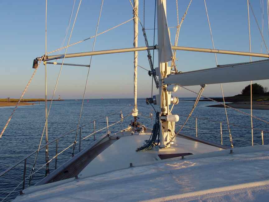
no waves, no bouncing and we weren't even aground this time]. Getting in
to Great Salt Pond was something. Below is a picture of the channel as we
were heading out the next morning. We didn't get a picture as we were
heading in because we were too distracted by the big-ass ferry that was
heading out through the channel as we were heading in. As you can tell
from the picture, the channel is really narrow and gets very shallow on each
side. Don was nervous enough to radio the ferry captain and ask if he
felt there was room enough for two in the channel. The ferry captain
responded, 'no problem'. Yeah, easy for him to say. In the end we
did successfully squeak by the ferry and didn't run out of water while doing
so. So all was well.
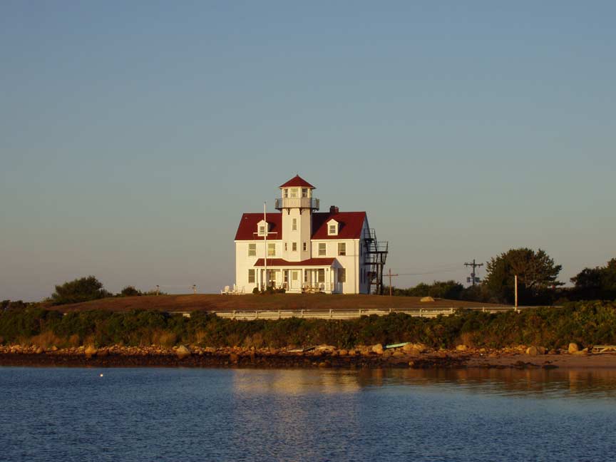
We didn't see much of Block Island given our short
stay, but on the way out I was able to snap this picture of the lighthouse
that guards the channel. I missed what there was of a sunset the
night before because I was making dinner for the starving Don. I figured a
lighthouse picture would fill in nicely for the missing sunset.
Anne
|