Saltwater Spritzing - Shark Bay, Cape Upstart, Queensland, Australia
Harmonie
Don and Anne Myers
Wed 26 May 2010 20:46
|
19:43.436S 147:45.122E
Our trek north continued today (5/26/10) with no
wind and more than enough rain to wash any residual salt off the deck. Not
that the deck had all that much salt on it to begin with. This flat water
sailing/motoring thing has lots of advantages, not the least of which is
very few waves over the bow. Instead of great floods of seawater streaming
down the deck as the bow first spears a wave and then plunges through the top of
it, we now get a spritz of saltwater here and there when the bow
bounces into a one-foot mini-wave. Gotta love the Great Barrier Reef
.
We are about 45 miles northwest of where we were
yesterday, and tomorrow we plan to motor another 70 miles with no wind (or at
least that's what the weather forecast says) northwest to the next logical
stopping point. We are currently anchored in Shark Bay
which lies on the sheltered side of impressive Cape Upstart on the
mainland. No, we didn't go swimming although it was nearly hot enough
after the rain disappeared and the sun came out. Who would swim in a
place called Shark Bay anyway?
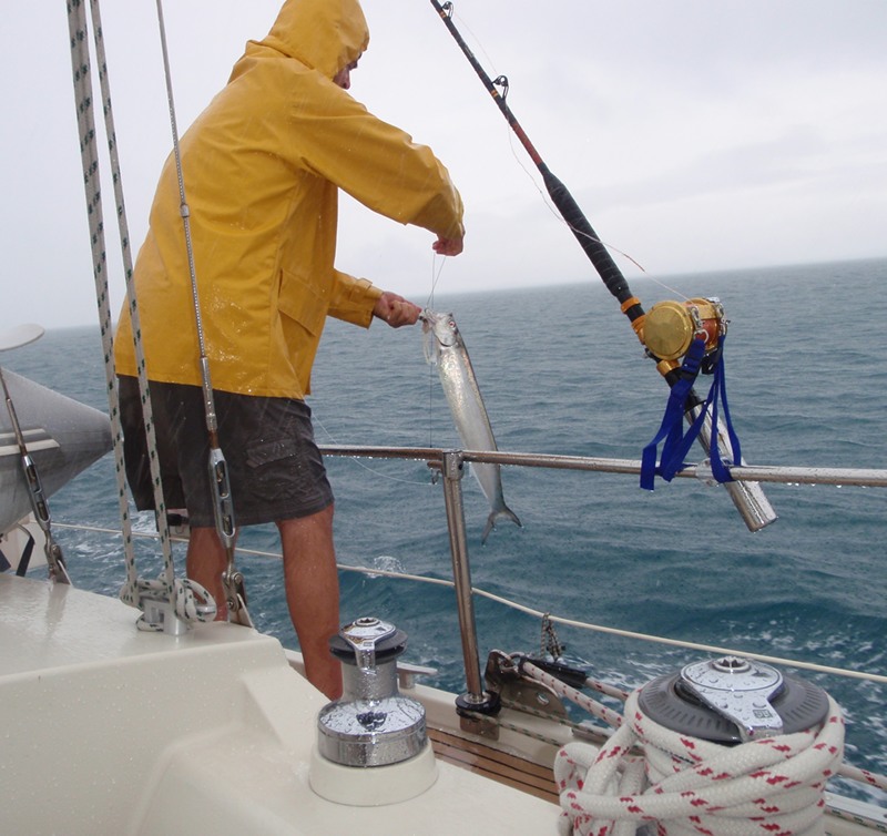
Picture 1 - The first fish of the season. We
have no idea what it was, even after consulting our trusty fish book. We
do know that it was rather ugly - smallish, grayish, long, skinny, and with a
giant mouth filled with pointy teeth. It wasn't a barracuda, but had some
of the same features. After a long two minute struggle with a pair of
pliers in the pouring rain, Don extracted the double hook from the
pointy teeth filled mouth, and sent the unidentified fish object back
into the sea.
Picture 2 - Cape Upstart. Impressive.
Especially since the land that connects it to the rest of the mainland is
relatively flat - hence the name Cape Upstart. When it came to naming
things, Captain Cook was no dummy.
Anne
|