The Intercoastal Waterway (ICW), leaving Beaufort for Oriental

|
What is the Intercoastal Waterway
(ICW)?
Well, as the name suggests, the ICW is a 3,000-mile waterway along the Atlantic and Gulf coasts of the United States. Some lengths consist of natural inlets, salt-water rivers, bays, and sounds; others are artificial canals.
The Intracoastal Waterway has a lot of commercial activity, but it is also used extensively by recreational boaters. On the east coast, some of the traffic in autumn and spring is by ‘snowbirds’ who regularly move south in winter and north in summer. The waterway is also used when the ocean is too rough to travel on.
The waterway runs for most of the length of the Eastern Seaboard. It is free to use, but commercial users pay a fuel tax that is used to maintain and improve it. The creation of the Intracoastal Waterway was authorised by the United States Congress in 1919. It is maintained by the United States Army Corps of Engineers. Federal law provides for the waterway to be maintained at a minimum depth of 12 feet (4 m) for most of its length, but inadequate funding has prevented that. Consequently, shoaling or shallow water are problems along several sections of the waterway; some parts have 7-foot (2.1-m) and 9-foot (2.7-m) minimum depths. During World War 11, the route became important as a means of avoiding the submarine menace along the coast.
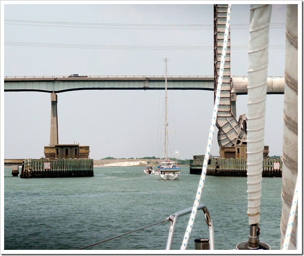
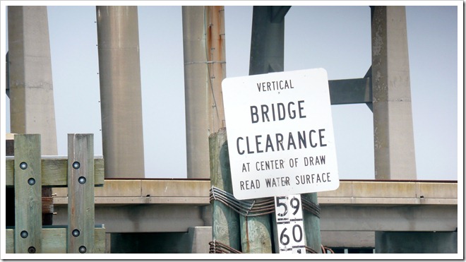
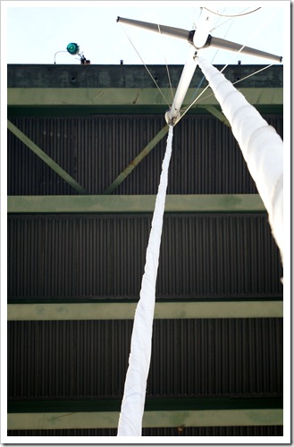
Kenny and Sarah off Loon were experienced ICW sailors and were keen to accompany us and Scott Free to Portsmouth, Virginia. They knew good spots to anchor overnight and also problem places to avoid. So we all set off towards Oriental and made our way to our first fixed bridge on the ICW. Most fixed bridges along the ICW have a 65ft clearance. Nimue measures 61ft from the waterline to the top of the mast, but the VHF ariel is 2ft above that! In addition the water level in the ICW is effected by rain and wind and current, so we were naturally concerned whether the mast would touch. We were pleased to see the bridge had a water level gauge showing 65ft, so we made our way slowly and despite the calculations, we still couldn’t take our eyes off the top of the mast, as the bridge loomed ahead. From the deck of the boat, it always looks as though the mast would hit, but thankfully we cleared it, with a little room to spare.
Following Scott Free to the first bridge
Clearance marker at the first bridge
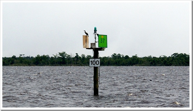
You can see just how close the mast looks to the hitting the bridge! The 25nm trip was otherwise uneventful and we were able to take in some wonderful new sights, including Osprey nests on every port and starboard navigation mark.
Osprey on navigation mark
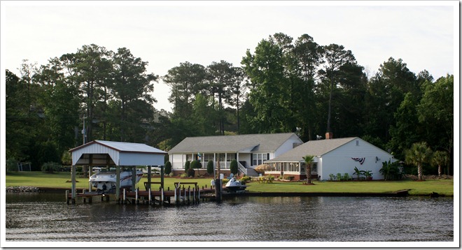
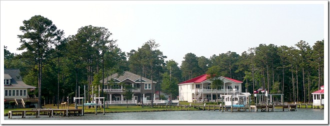
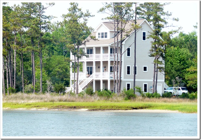
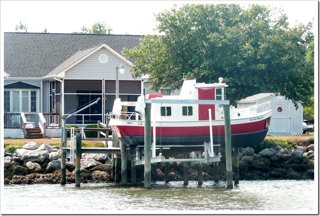
Some of the many very ‘modest’ properties along the ICW
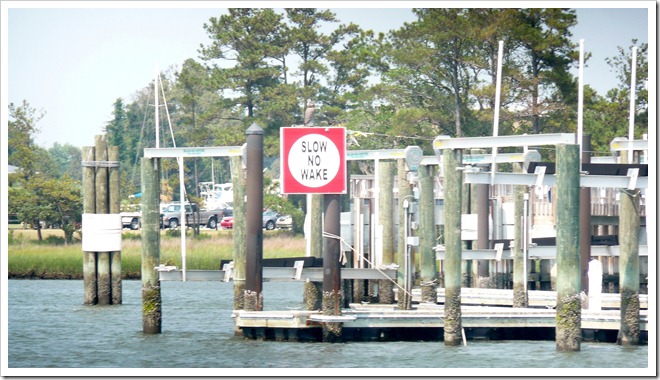
We could with more of these signs in UK waters! Vessels are responsible for their own wake and are liable if they cause damage or injury!
Just so Twee! Oriental was a bit of a landmark for us, as our Insurance company requires us to be at it’s Lat/Long co-ordinates before 1st June (for the hurricane season). We actually made it there on 31st May!
The wind had picked up as we made our way into the tiny harbour and dropped our anchor in 0.6m of water; just enough for the tide.
Oriental was so picturesque and quaint and again Kenny and Sarah had been there before and were really keen to show us around. Unfortunately we only stayed a night before we were on our way again and on to the notorious Wilkerson Bridge!
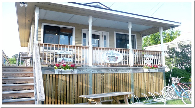
The Bean in Oriental– serves really good coffee for breakfast
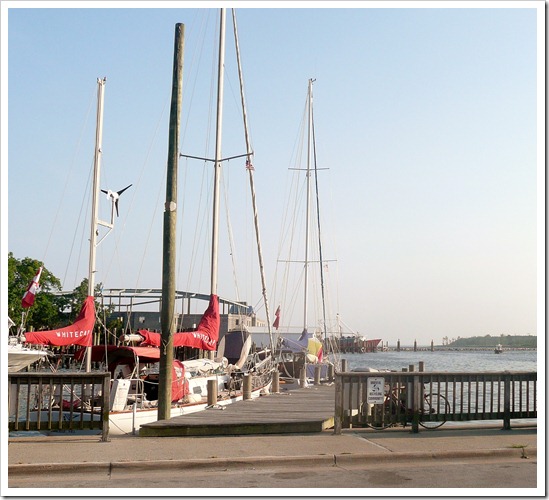
The free town dock in Oriental
|
