Two hops to Les Saintes

Ile Jeudi
Bob and Lin Griffiths
Sun 31 May 2015 20:11
|
15:52.05N 61:35.10W
Saturday 16 to Tuesday 19 May 2015
Montserrat to Guadeloupe
Distance Run 49 nm
We left Montserrat at 6.45am on Saturday and chased about 6 other boats
bound for Deshaies on the north west coast of Guadeloupe. After rounding
the northern tip of Montserrat the passage is in a roughly ESE direction for
nearly 50 nm. For the first few hours the sea was uncooperative but later
settled down nicely. The wind direction eventually did as forecast and
moved aft to come from the beam and the second half of the trip was fast and
enjoyable. We caught and passed 4 boats although we were not racing,
obviously.
As we sailed down the east coast of Montserrat the volcano and its impact
were quite visible.
The brooding volcano with its peak in the clouds:-
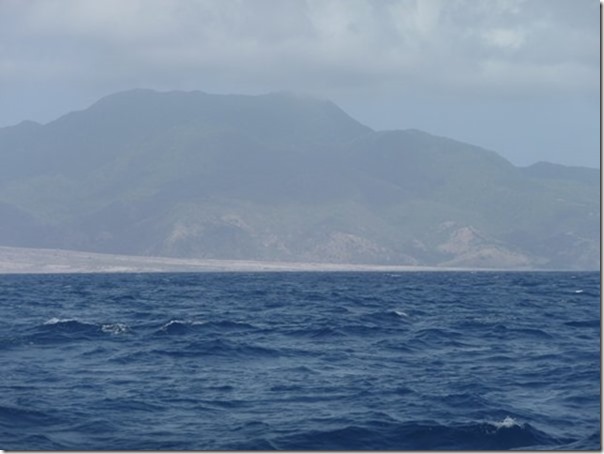
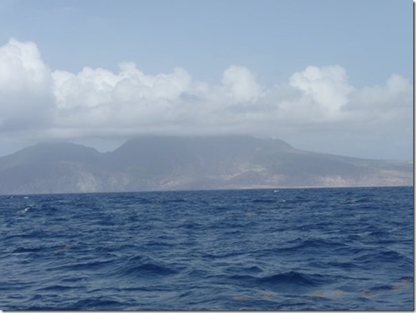 The light coloured land running from left to right down to the sea is
solidified lava and rock from the volcano:-
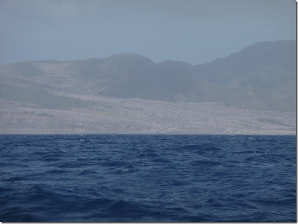
 A poor photograph but this is a closer look at more lava flow:-
 Arriving in Deshaies around 2pm it took some time before we found a sandy
part of the seabed with no rock in it to anchor properly. Heymede arrived
soon after and we were both pleased to have reached Guadeloupe as it meant that
most of our ‘easting’ was now completed.
Sunday 17 May 2015
Guadeloupe to Les Saintes
Distance Run 34 nm
Today was to be a rest day but with another favourable forecast we opted
not to clear in to Guadeloupe but to continue down to Les Saintes. As
usual we motored in the wind shadow down the west coast of Guadeloupe.
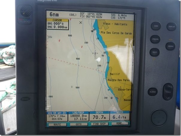
On the way we noticed we had reached 18,000 nm, all but 750 nm of which has
been undertaken since we left the UK in September 2004 to start our liveaboard
life. The chart plotter showing at the bottom, just left of centre, the 17
miles so far on this trip today and the cumulative 18,000. At top right
our speed over the ground of 6.4 knots, measured by GPS, matches the speed
through the water shown by the log (bottom right) which means, unusually, the
effect of the current is neutral at the moment.
Guadeloupe is quite steep at this point sinking to 1 kilometre below sea
level only a mile or so offshore (see left of screen). You might be able
to see the boat logo representing our position between the 50 and 100 metre
contours. The echo sounder supports this (bottom right of centre)
indicating a depth of 70.7 metres:-
 The charter companies use the colours on these charts to brief holiday
makers along the lines of ‘you sail on the white bits, anchor in the blue bits
and drink on the yellow bits’.
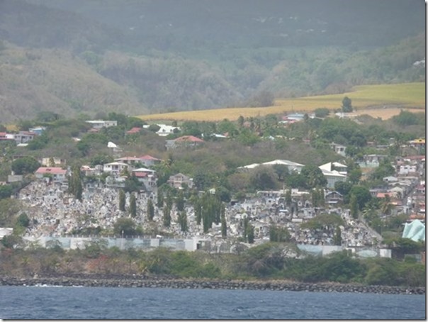
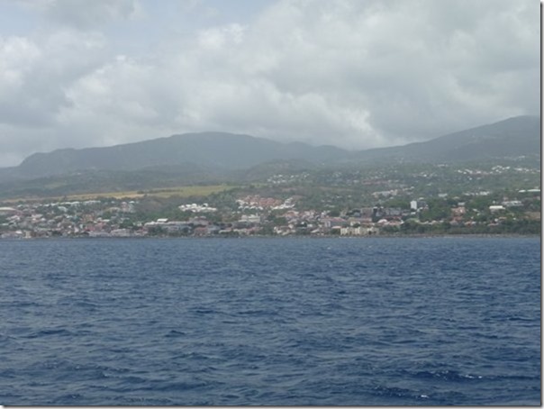
A little later we passed the island capital, Basse Terre. The
mausoleum or cemetery:-
 The town of Basse Terre:-
 Once we reached the south of Guadeloupe we were met with the usual 25 knot
blast of wind running along the south coast. We had reefed he sails in
readiness and romped across the 8 mile gap between the Guadeloupe and the
smaller Les Saintes group and had picked up a mooring buoy by 3pm.
Monday 18 & Tuesday 19 May 2015
We really like Les Saintes and the main ‘town’ Terre d’en Haut and stayed
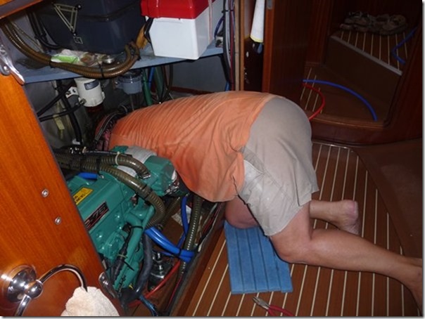
for 3 nights. On Monday I attacked the plumbing in the engine room,
disconnected two of the three pipes under the engine, discovered which was
leaking and replaced and re-routed two of them. I carry some spare piping
and a stock of Homebase etc joints which came in very useful. In the
process I was disturbing 7 or 8 joints which have been fine for 12 years so one
or two of those then needed fixing as well. The following day we found
another disturbed connection and resolved that.
The admiral snuck this photograph of her plumber sweating in the engine
room utilising a number of words with such venom she wasn’t convinced they were
entirely technical:-
 The joys of cruising, but Les Saintes were, as usual,
lovely. |