Deshaies again

Ile Jeudi
Bob and Lin Griffiths
Wed 2 Jul 2014 19:12
|
16:18.44N 61:47.86W
Distance Run 26 nm
Wednesday 2 July 2014
Taking advantage of favourable winds we released ourselves from the mooring
buoy in Les Saintes to head north to the south west tip of Guadeloupe and then
on up the west coast to the bay where the village of Deshaies lies.
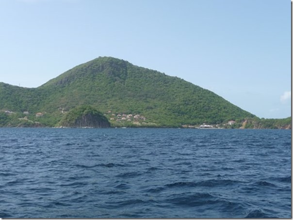
Leaving Les Saintes. The round rock is ‘Pain au Sucre’ and we
anchored in the bay to the right of it a few weeks ago. There is only one
yacht in there now but in May it was crowded:-
 We reefed the mainsail a little in preparation for the stronger gusts and
closed the 8 mile gap to Guadeloupe quite quickly.
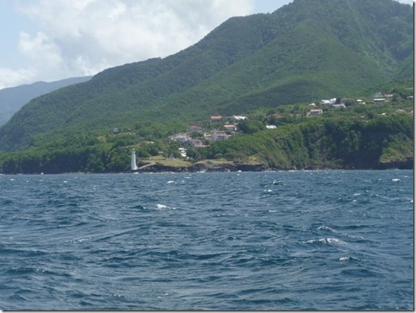
Here approaching the south west tip of Guadeloupe with it’s prominent
lighthouse. This is the westerly and more mountainous of the two islands
which make up Guadeloupe:-
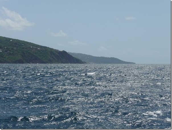
 Looking east along the south of Guadeloupe. The wind has got up a bit
now:-
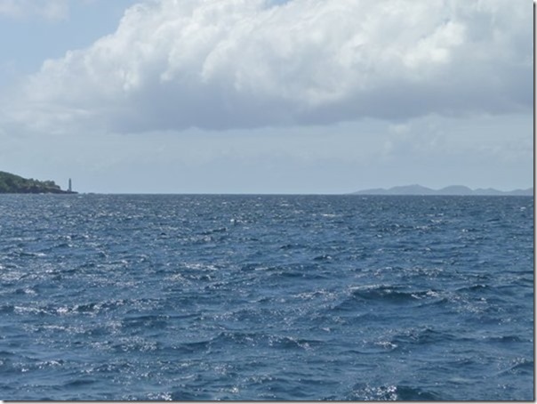
 A little while later, looking south. A different perspective of the
lighthouse and Les Saintes receding in the distance:-
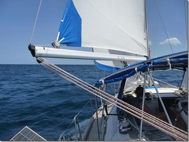
 The mainsail is still reefed (not pulled out to the end of the boom)
although the wind is lighter now. The mainsheet (white and red rope)
passes around 2 sets of triple pulley blocks to give a 6:1 purchase which
enables the sail to be hauled in without electric winches or hydraulics, which
we don’t have:-
 The instruments at the helm for anyone of the ‘anorak’ tendency:-
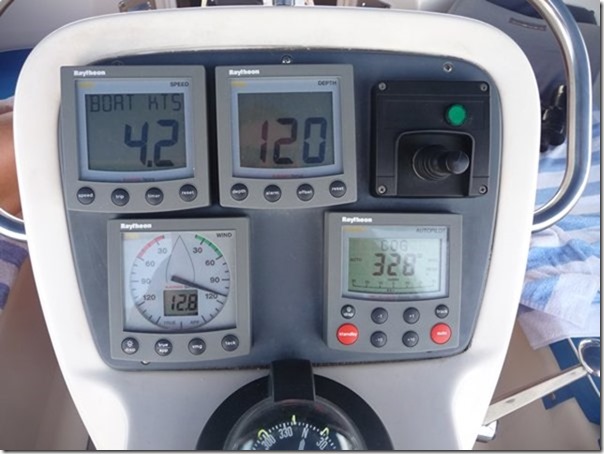 Boat speed of 4.2 knots shown at top left. Top
middle is the depth of water, shown as 120 meters but it is
actually much more than that – the echo sounder gives up beyond 120
metres. The black lever to the right operates the
bowthruster – an electric propeller in the bow which can be used sparingly to
swing the bow to left or right during low speed berthing under engine. It
is not used whilst sailing. Bottom left is the wind
indicator. The arrow shows where the wind is coming from in
relation to the boat. The recorded wind speed is 12.8 knots. This is
what is felt on the boat and is a combination of the true wind and the boat’s
movement. The compass at the bottom shows we are steering
a course of about 342 degrees. The combination of the the boat’s leeway
(sideways drift) and the current means that our actual course over the
ground is only 328 degrees (the RH instrument with two red
buttons).
This is one of the major benefits of GPS. Boats always knew what
course they were steering from the compass but the actual course achieved over
the ground was a running estimate calculated using tidal predictions and
knowledge of how the boat drifts in different conditions.
Asleep yet?
We anchored in Deshaies just before 3 pm and immediately cooled off with a
swim. We plan to be here for a few days before sailing 42 nautical miles
north to Antigua where we will start preparing the boat for lifting out of the
water for the rest of the hurricane season. |