To Montserrat

Ile Jeudi
Bob and Lin Griffiths
Sat 30 May 2015 17:04
|
16:48.02N 62:12.57W
Friday 15 May 2015
Distance Run 43nm
We have explored St Kitts a little and Nevis is the ‘poor relation’ in a
way but from what we can see of it from the mooring buoy and what we have read
we would like to spend some time ashore in Nevis one day and look around.
There is no time to do that now as the favourable winds are only here for a few
days so it’s time to move on again.
We saw Heymede motoring past whilst we were having our breakfast in the
cockpit so called them on the VHF to say we will be following shortly. We
had been calling each other throughout yesterday afternoon and evening and
apparently they could hear us but we couldn’t hear them.
Today was expected to be a bit of an upwind slog and so it proved to
be. The wind strength and direction were fine but the lumpy sea was a boat
stopper. We finally reached Little Bay near the north west tip of
Montserrat at around 4.30pm and set the anchor in rather deep water.
Heymede arrived about an hour later which was good going but they had had an
unpleasant trip. There were several boats here already. We did find
what was interfering with the VHF and were able to communicate clearly with each
other throughout the day.
Once we had anchored we noticed that the fresh water pump was running
intermittently. This means there is a water leak somewhere and the pump is
trying to restore pressure in the system. I spent half an hour trying to
find evidence of a leak, pulling up floor boards and emptying cupboards and
eventually traced it to the engine room. Three water pipes run under the
engine and one of them is seeping water but we can’t yet tell which one.
It took 45 minutes to pump out the lost water and we will have to leave the pump
switched off until we can trace and fix it.
The Soufriere Hills volcano erupted in 1995 but in 1997 the capital,
Plymouth, in the south of the island was evacuated in advance of major eruptions
and was eventually destroyed. Much of the south of the island is under
several feet of ash and rocks and there is a 2 mile exclusion zone around
Plymouth. Nearly two thirds of the 11,000 population left the island but
the numbers have climbed back up to 5000 in recent years. In 2003 the dome
of the volcano collapsed and it was thought that activity had stopped and much
of the island was reopened and people returned to repair their damaged
homes. Unfortunately in 2006 there were some more eruptions followed by a
biggy in 2010 and the exclusion zones are back in place. This must have
been heart breaking for those who had returned and for those who had invested
and restored some of the hotels.
Rains have washed down a lot of volcanic sand and rocks and the old golf
course is under 30ft of the stuff. The coastline has been altered by the
run off and an old deepwater pier now sits inland! There are tours which
we would very much like to do one day. Much of this information has been
gleaned from Chris Doyle’s very informative Pilot Book.
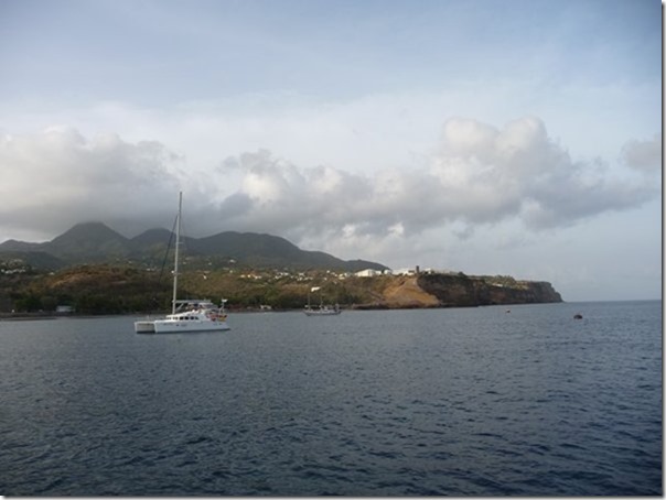
Our anchorage in the north is safe as there is a mountain between us and
the volcano. The protecting mountain can be seen in this picture looking
south:-
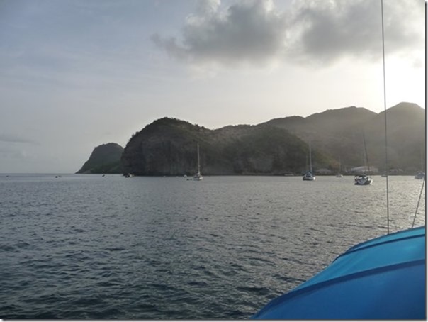
 This was taken early the following morning showing the northern tip of
Montserrat which we will sail around before aiming south again on the other side
of the island:-
 |