Sint Maarten, Saint Martin

Ile Jeudi
Bob and Lin Griffiths
Sun 8 Feb 2015 21:15
|
18:02.12N 63:05.99W
Sunday 8 February 2015
Distance Run 36 nm
The forecast was for winds of 16-18 knots on the beam which is just about
ideal but after yesterday we did put some reefs in the sails. In the event
the strength was seldom over 20 knots and in just over 4 and a half hours we
entered Simpson’s Bay on the south side of Sint Maarten. It was a really
enjoyable sail and we are happy with the way the new sails are setting – a much
better shape even when reefed.
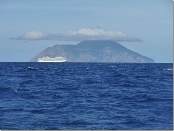
We passed the small island of Saba on our port side:-
 To give an idea of scale the cruise ship is 3 miles away. Saba is
3100 feet high and is 10 miles away.
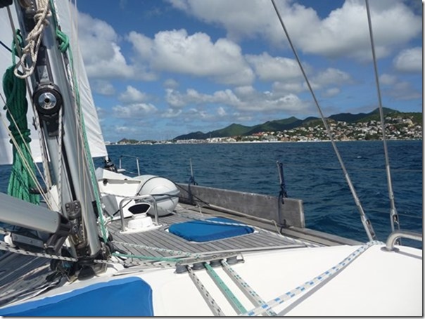
Approaching Simpson’s Bay. The dinghy is upside down on the foredeck
lashed down with lots of ‘bits of string’.
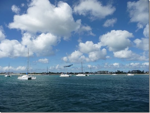
 The anchorage is beside the international airport:-
 The southern part of the island is Dutch and the northern part French hence
the different spellings of the name in the title. The two live side by
side in complete cooperation although they each use different currencies, Euros
(French part) and US$. If you arrive by boat and go through Customs on one
side of the island and subsequently move the boat to the other you must clear
out of the old side and in again on the new side. If however you travel
from one side of the island by road, by foot or dinghy then you are free to move
as you please!
Well, we were supposed to be here before Christmas but we are in St Martin
at last. We hope we can get the repairs made that couldn’t be done in
Antigua and will move into Simpson’s Lagoon tomorrow. The aim is to pass
under the raised bridge on the Dutch side as the channel on the French side is a
little shallow. Then wait for a swing bridge to open within the lagoon and
move on to the French side and clear in there. Then explore the various
facilities and find out how to get things done
here. |