Moving on
Our position is 58:43.185N 09:14.424E Distance covered 13.0 Nm Strong winds from the South West were forecast for Monday (typical bank holiday weather) so we wanted to be somewhere with more shelter. Risor was not far away but seemed to offer what we wanted so we set off after lunch.
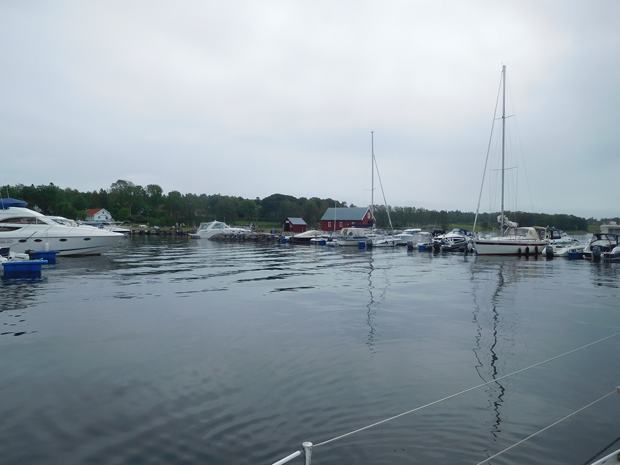
It was warm at first but soon cooled down and visibility shrank as mist came in. Risor is inside the archipelago and as we left the open sea through Gronholmengapet it got quite foggy and dark. As we entered the harbour it rained very heavily – that almost always happens before you tie up rather than after – and we got quite wet as we tied up on the inside of a wave breaker pontoon forming and enclosed outer harbour to the marina area. The pontoons further in were all occupied by small motorboats.
The wind got up in the night and it was quite bumpy as the waves came surging up the channel and under the pontoon. The next morning we went to the fuel pontoon – fuel is cheaper in Norway than the other Scandinavian countries , so we had been waiting to get there – and went back to the pontoon, but by the time we got there conditions were very rough so we decided to move right inside, beyond the fuel pontoon, to the town harbour where there was enough room for a couple of boats alongside and some stern buoys for tying to the harbour wall. This was a good decision as it was completely calm there and we had a very peaceful night.
We went for a walk in the town but all the shops were shut for the holiday and there wasn’t a lot to look at. The harbourmaster, who visited us after we moved, collected 100Nok and said that the wifi was only switched on in the season but then there were too many boats to allow it to work freely!
The next morning there was time for a quick visit to the well-stocked co-op across the road from the mooring before we had to get ready to move on again. |