Wind bound in Gronhogen
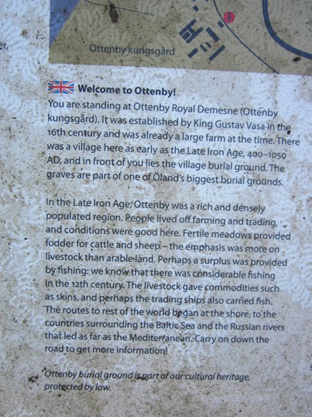
We had always planned a lay day in the South of Oland as we wanted to explore the World Heritage Site. This occupies the whole of the area in the south of the island and was awarded on the basis that the agricultural landscape of the area is fundamentally different from any other place on earth. This is due to a combination of factors – the limestone bedrock, the mild climate, and the geographical position of the island, as well as the effect the population has had over thousands of years since the Stone Age. Maintaining this is a case of continuing the synergy between man and nature that has existed for all this time. The day after we arrived the wind was blowing so strongly that we couldn’t face getting the bikes out. In fact it was hard to stay upright walking along the quayside to the washing machines, which was what we spent the day doing instead. Fortunately as it was an Easterly the water in the harbour stayed flat and we didn’t suffer being blown too hard against the wall. The following day the wind was still blowing hard and the harbour was filling up as people arrived and then didn’t want to leave until it calmed down a bit. We were hoping it might be going down through the afternoon when we planned to head out on our trip after doing some shopping in the morning.
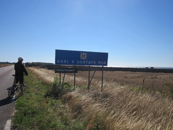
A driving range with a difference – the balls float and are gathered up at the end of the day by a boy with a net (and a boat, although they probably all blew down one end when we were there) The trip South, down the West coast wasn’t too blustery as the road was well lined with trees and we soon took to a field track through the Ottenby graveyard. But once we had cleared the old royal farm land and started heading across to the East coast it was a bit of a slog. We had opted not to go right down to the lighthouse at the bottom of the island, where it would be particularly exposed.
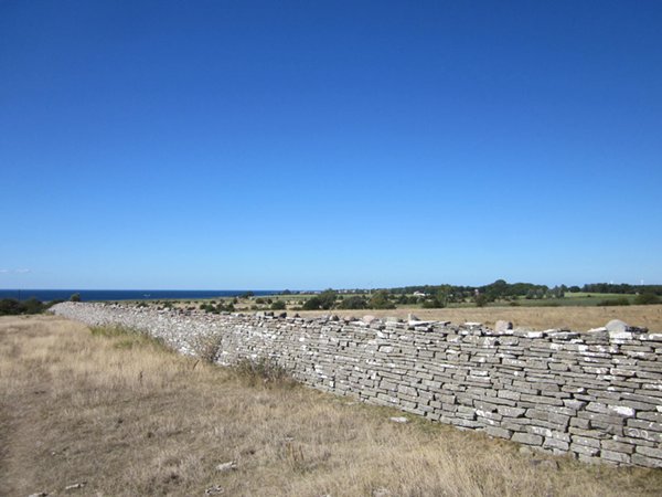
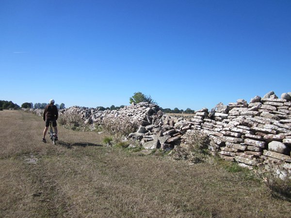
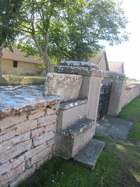
King Karl X Gustav’s wall was built from one side of the island to the other in the 17th century in order to keep the deer in the farm grounds for hunting and this end is in very good condition
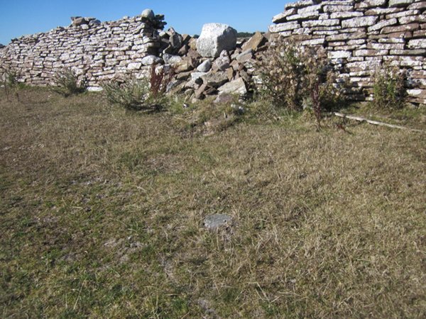
This is the Eastern end of the wall – not so well maintained!
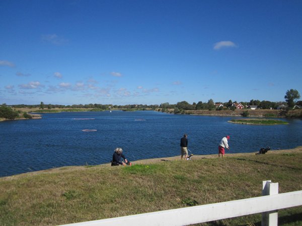
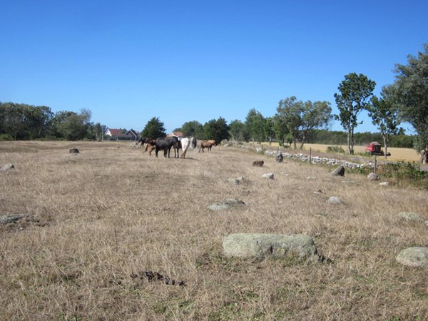
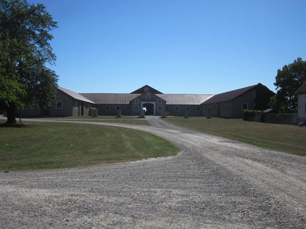
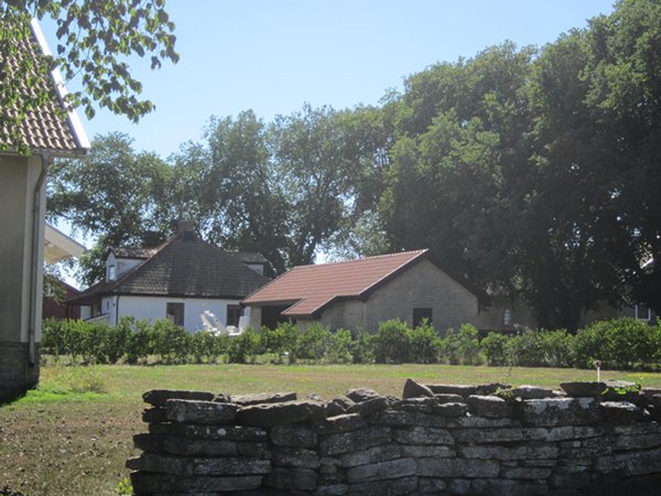
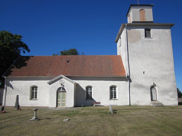
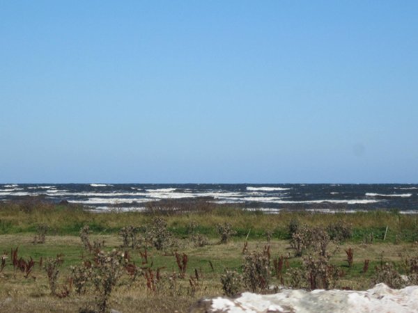
The farm is still in use and the building are all new. I also suspect heavy restoration and modernisation of the house but as someone lives there we couldn’t go in. But the labourers cottages are nearer to original. We stopped for a breather at the church at As, which is unusual in that its tower is at the East end. Apparently Swedish Television used to broadcast from here on New Year’s Eve as they rang in the New Year. We also took a detour down a track to get closer to the sea on the East coast, where the waves were breaking most satisfactorily.
The East coast of the island
On all these limestone islands we had been on, the books commented on the amazing fossils, but this was the first good one I had seen
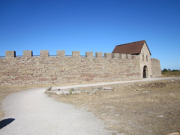
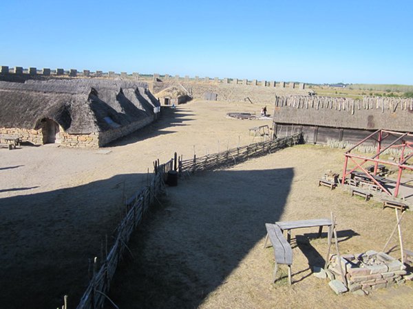
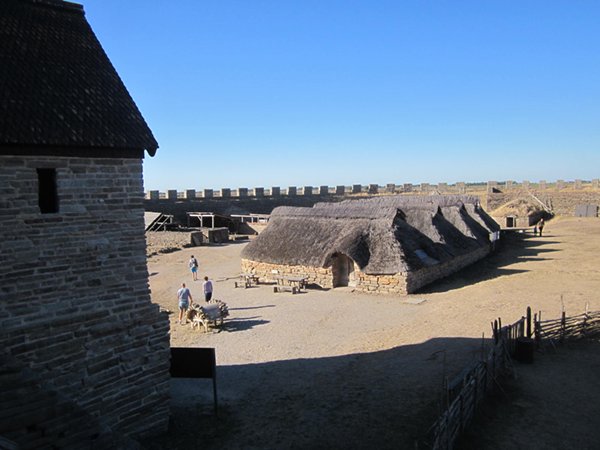
I thought this might be a bomb shelter but Ted suggested an ice house – or maybe a home for a troll After that it was heads down and push on North again. I hadn’t expected this bit to be too bad but the synergy between man and nature had resulted in no sheltering hedgerows or trees between the sea and the road – just arable fields in the middle of harvest – and we were heading for an old hill fort so it was uphill all the way in every sense. Eventually we arrived at Eketorp. I have to say that I admire the Swedes for their lack of compunction about heavy restoration of their historic sites. Based on the work of their archaeologists in digging up a few bits and pieces they have rebuilt the fort and stocked it with animals. Because their summer is now over it was only open for us to walk round and all the extended information – museum, tours etc – were closed, but at least it was free, which it wouldn’t have been otherwise.
Eketorp hill fort as it would have been in the Iron Age From there it was an easy 6km run downhill with the wind behind. We passed several unlucky holiday makers cycling in the opposite direction with panniers full of luggage and couldn’t help thinking they hadn’t really planned their trip properly. |