What did Delaware?
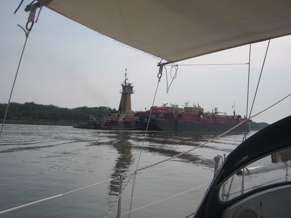
|  Our position is: 38:57.113N 74:54.36W We were up early again the next day, to follow the Skipper Bob advice as to how to maximise tidal advantage along the canal and down Delaware Bay, and full marks to him as it worked perfectly, but the Bay was a bit of an anticlimax as it was another day of hot, windless motoring. We did see more herons along the canal than we had seen on the entire rest of the trip and there was some excitement towards the end of the Chesapeake & Delaware canal when we were passed by a largish barge being pushed by a tug (this seems to be the main way of moving cargo round here) heading for Delaware City. At the end we went through the Cape May canal, dodging ferry boats and other pleasure craft but otherwise it was completely uneventful. We opted for Utschs Marina in Cape May and felt our way in cautiously as there are a lot of shallow patches and we were directed to a berth as far in as you could go. After a cup of tea we went for a quick walk round the nearest bit of town, but like most American towns everything was very spread out and the waterside area was either houses, restaurants or sealed off for the fishing fleet so we went back to the boat. In the night we were awoken by a sudden storm with torrential rain, winds that the guy on the next boat reckoned were 60kn and thunder and lightning. I feared for the sunshade and the boat was bouncing about all over the place and straining on her warps, but it proved relatively short-lived and we were protected from the worst of it by the 2 large motor cruises tied up on either side of us. We learned later that large areas further inland were very badly affected with flooding and power cuts and we feared for our friends from the Chesapeake on the second week of their cruise. (An e-mail later confirmed they were all OK but Joe, in Virginia, was still without power a week later).
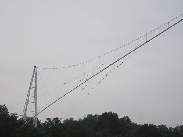
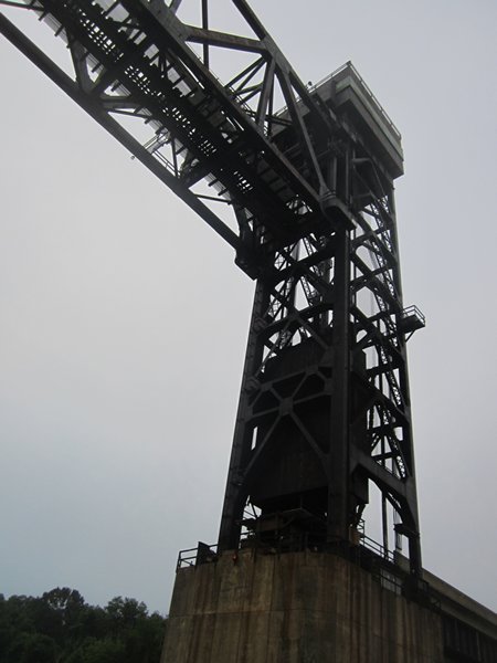
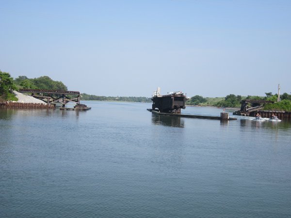
My attempt at photgraphing a suspension pipeline (not a lot of substance!) This railway bridge on the C&D canal slides up and down the pillars
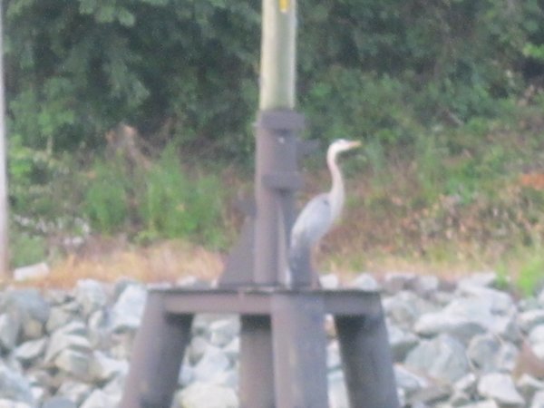
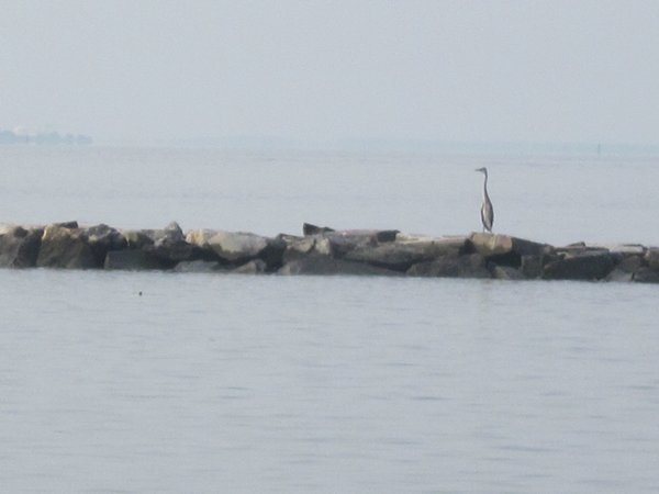
Herons everywhere
Pushed barge on the C&D canal I guess they have to hold their meetings somewhere
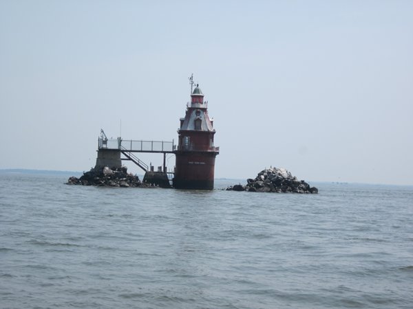
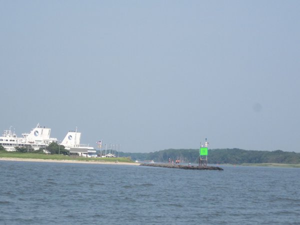
Lighthouses come in all shapes and sizes. The piles of rocks are for ice protection Entrance to Cape May canal and the ferry port
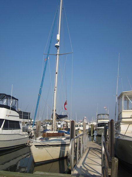
Swing bridge on the Cape May canal Moorglade in a safe berth at Utschs, sheltered by powerboats
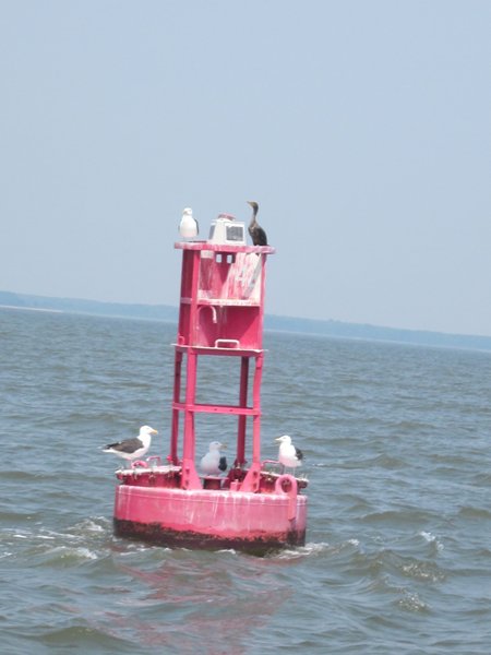
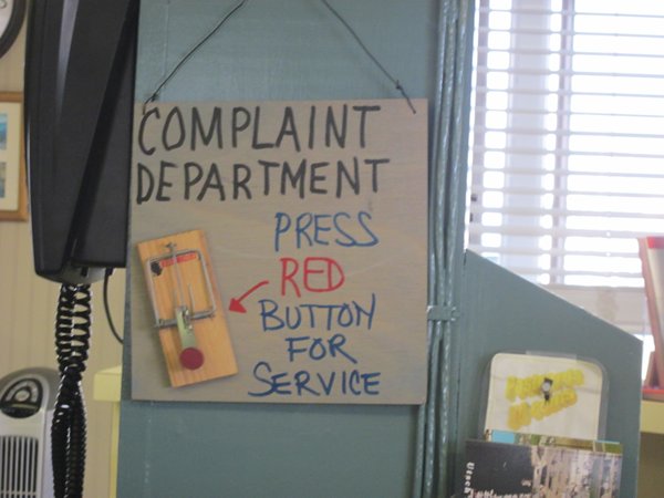
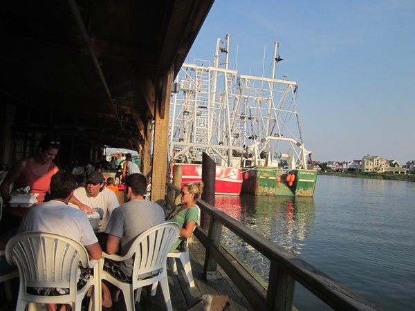
This caught the eye in the marina office Restaurants and fishing boats block the way to the waters edge
|
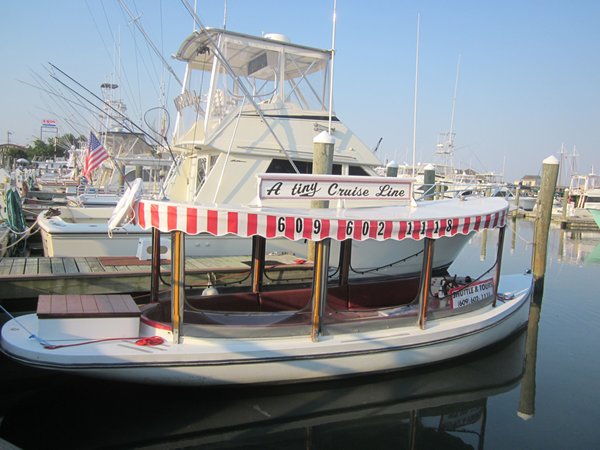 Perhaps not one for a round the world trip!