Back to an island
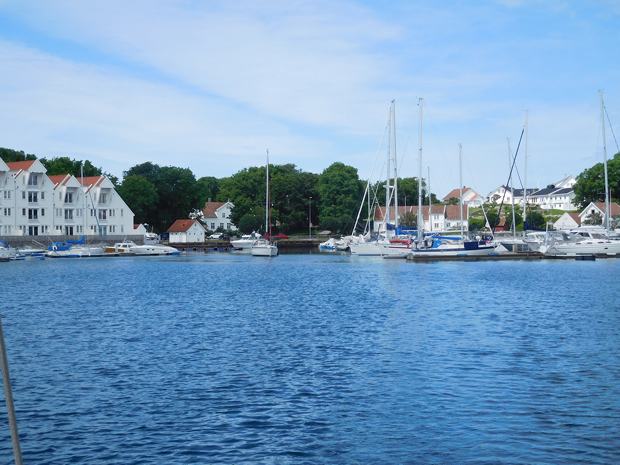
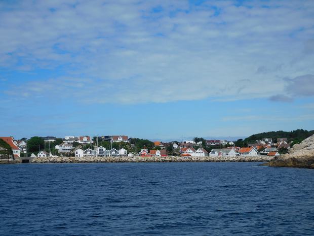
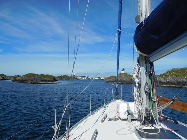
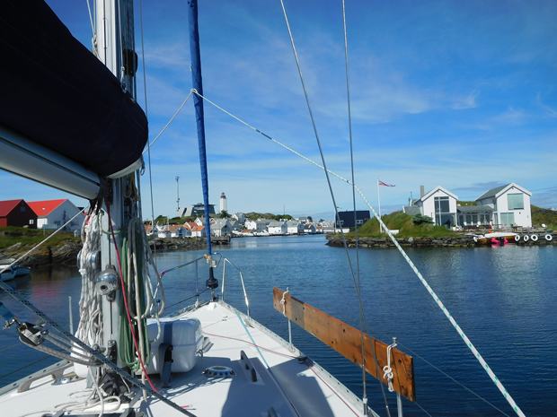
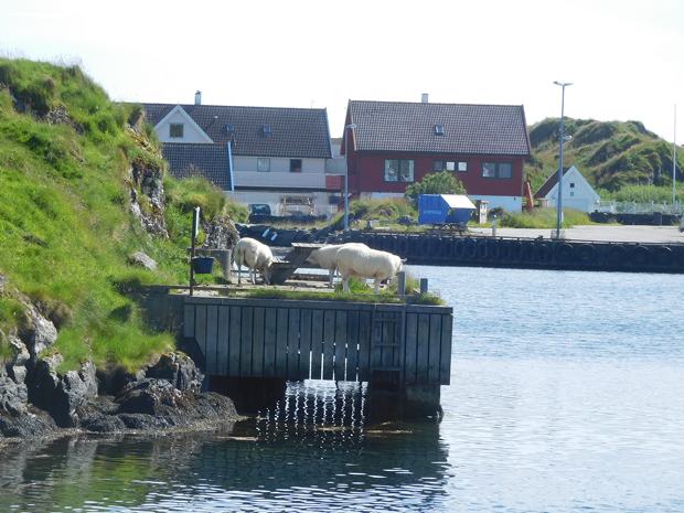
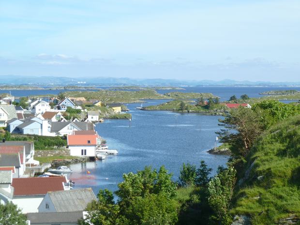
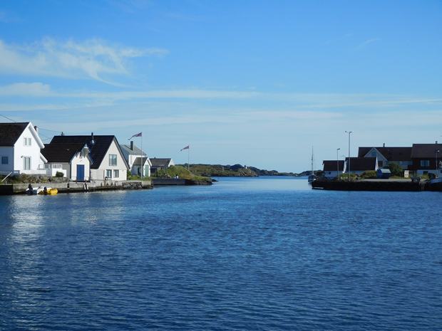
Our position 59:03.632N 05:24.142E Distance covered 11.6 Nm On Wednesday the wind had dropped, ahead of the previous forecast, but we had already ruled out a return trip to Stavanger so were happy to top up supplies at the local supermarket and set off in the sunshine for the nearby island of Kvitsoy. The wind that there was, was on the nose so we were motoring as usual but we were soon picking our way through the rocky approaches and up the narrow entrance channel from the South.
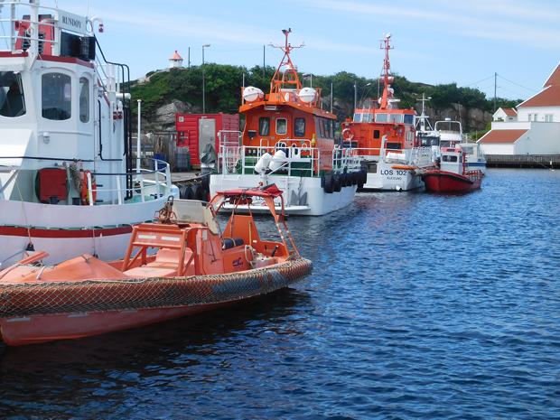
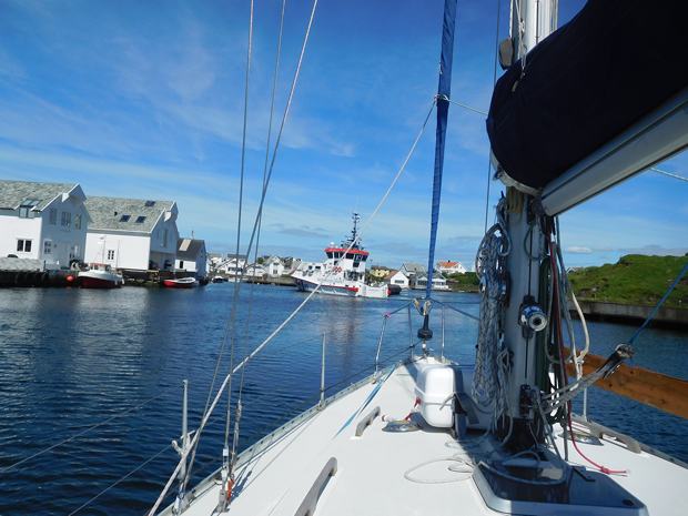
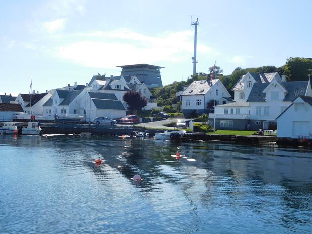
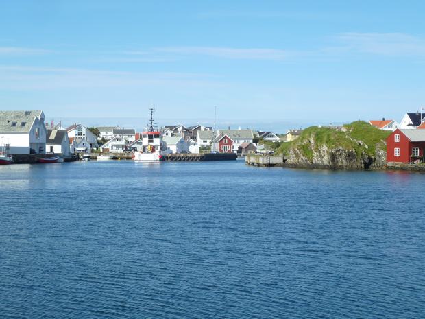
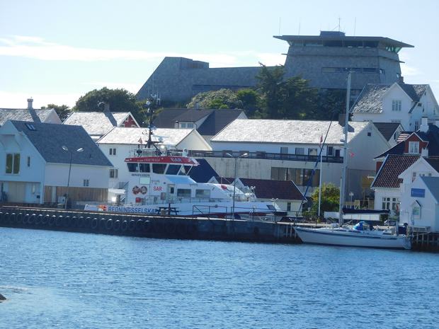
Just as we were closing the harbour at Ystabohamn we were surprised by a SAR boat coming round the bend from the East approach and with the same destination in mind. He was bigger than us so it was time for brakes on and wait for him to choose his spot.
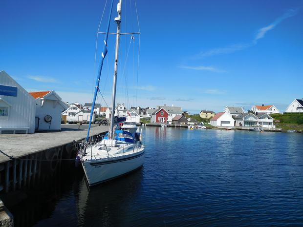
They went on the inside of the jetty, leaving us the one with a rocky outcrop halfway along to avoid, but we managed to tuck in and tied up successfully alongside some large tyres, necessitating the use of our fender board.
We set off immediately to explore and were slightly foiled by the fact that they were in the process of resurfacing all the roads and there was a lot of sticky tar to avoid.
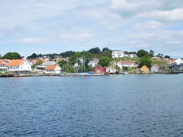
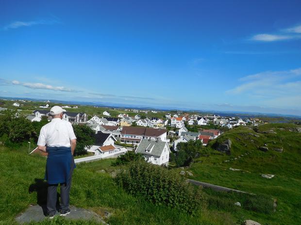
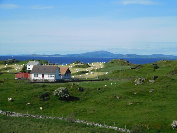
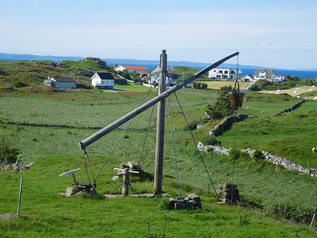
Kvitsoy proved to be a most attractive island and we chatted to a local teacher in the supermarket (surprisingly large and well stocked for a permanent population of 500) who told us that the island supported a school for 6-16 year olds, which had a roll of c75. She was keen to emphasise the opportunities for employment on the island and was obviously committed to island life as she had returned to her birthplace.
|