Taking on the military
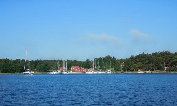
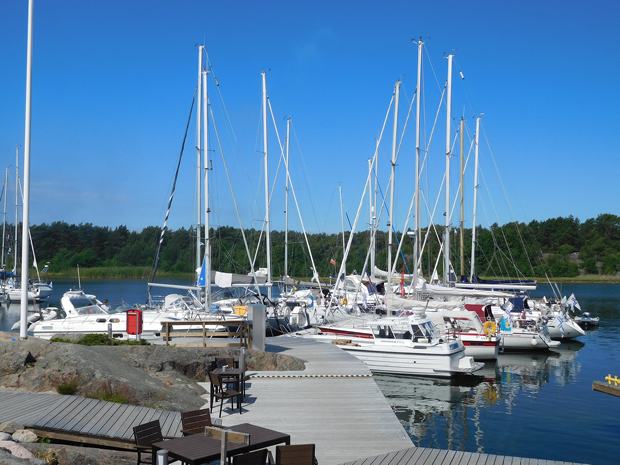
Our position is 59:48.467N 22:20.136E Distance covered 14.7 Nm The people on the next boat in Verkan had also recommended an island that had only been open to the public since the summer of 2015. Oro had previously been a long standing military installation but they had finally given it up in 2014 and a brand new guest harbour had been established there. Apparently because it is new everyone wants to go and, if you haven’t pre-booked, it is necessary to arrive in good time to ensure there is space. Unusually for the Baltic the harbour has finger pontoons, which makes it harder to squeeze boats in. We left Helsingholm early, as soon as we had collected our freshly baked bread, and we were able to recover the stern anchor without difficulty.
Unfortunately the wind was light and from the South so we ended up motoring the whole way. The other complication was that the route in was not marked on any of the charts, but there was a tourist publication we had managed to pick up on Brannskar, which had a picture of a chart with the route marked and the information was also available on their website, although we were struggling a bit for wifi. Still, a close examination of our paper charts as well as the electronic one showed that although we were coming from the West and the route shown really started more to the East, we could pick our way through the rocks and join up with the official route before arriving at the harbour. If we hadn’t seen which way the route went when close to the destination we might not have believed it would be possible as it was quite tortuous and there were a lot of rocks.
In the event, when we closed the islands we intended to go between before joining the main route we were pleased to find some transit marks (which weren’t on the chart), which took us a slightly different way to our planned course and close to the island, but proved perfectly safe. After that everything was pretty straightforward, although it was slightly disconcerting to see boats streaming in from the East ahead of us, when we were worrying about getting a space. As it happened there were enough spaces, although they filled up as the afternoon wore on, and we were directed by a helpful member of the shore team to an empty spot near the outer end of the pontoon. Imagine our surprise when we were greeted on the pontoon by the local CA HLR, Eric von Troil, waving a pristine CA burgee. We had been emailing him about our stopover in Helsinki so it was good to actually meet up. Unfortunately he was just leaving as he had family commitments, but we were able to have a good chat and thank him in person for his efforts on our behalf, even if we couldn’t buy him a beer.
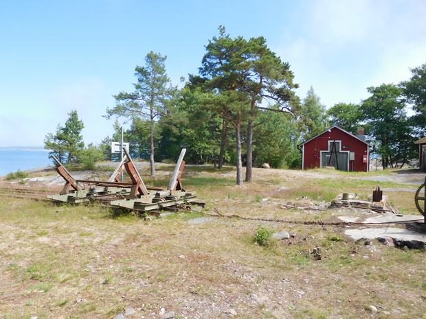
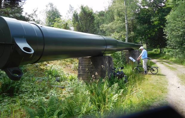
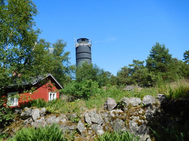
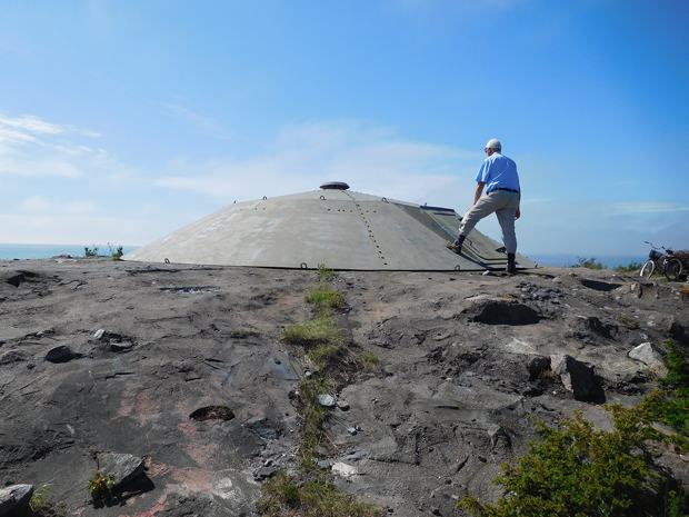
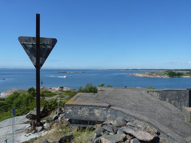
We had a quick lunch then got out the Bromptons and set off to explore the island. There were many information boards around, in English as well as Finnish and Swedish. Oro had held a strategic place on the outer edge of the archipelago and Russians, Swedes as well as Finns had used it as a base. What remains are mainly barracks, gun barrels and other installations. The small museum also covered the relationship between civilian residents of the island and the military personnel in the late 19th/early 20th century before the island became solely a military base. Guided tours are available, which give access to the insides of the weapons installations, but we thought we didn’t have time for that and it was unlikely they would want to do one in English just for us.
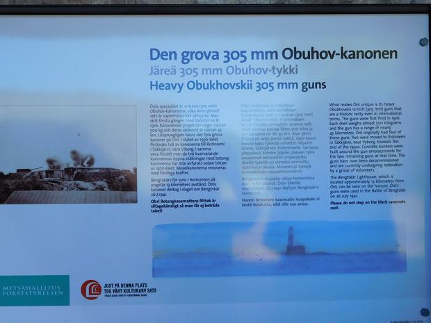
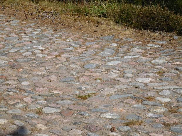
This was typical of the style of information and the quality of the remaining artefacts
The 12” gun barrels only lasted for 200 rounds so they carried spares
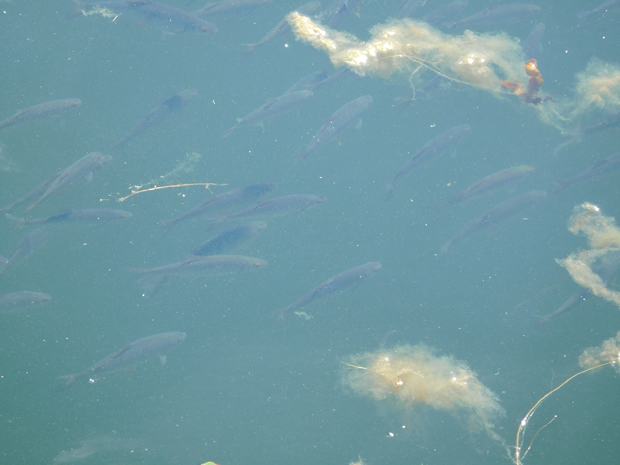
There was also information about the flora and fauna. A study is being made of the many types of butterfly and there were many warning notices about the butterfly traps being toxic to humans and their lights potentially damaging people’s eyes.
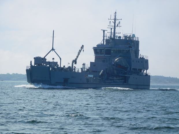
After a quick, but rather rough spin to the South and North of the island it was time to go back to the boat for a cup of tea and a tasty doughnut from the harbour café.
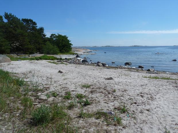
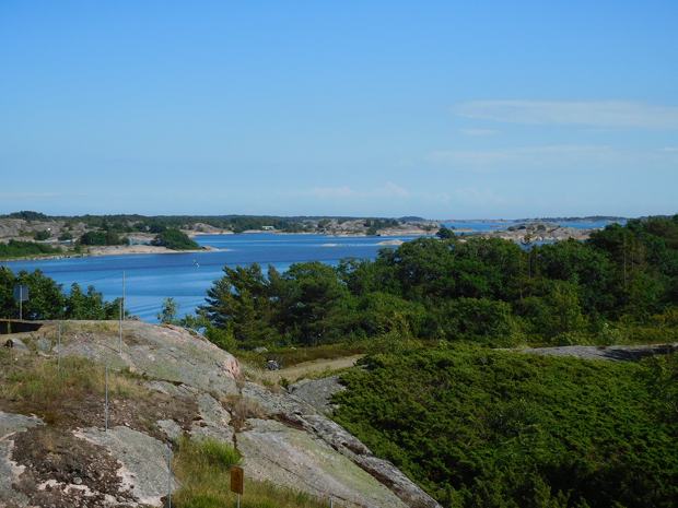
The South of the island
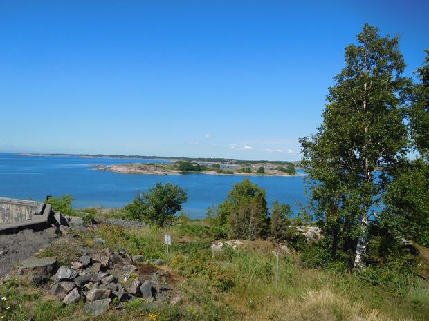
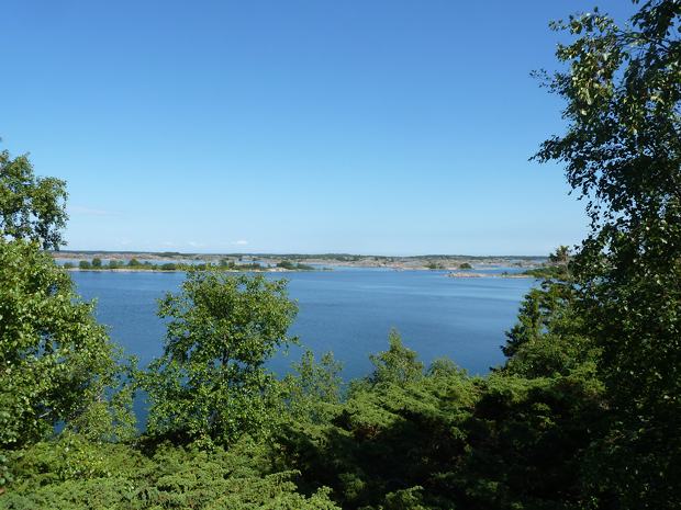
And the North
The views were splendid
|