Unseen rocks and trees

Our position is 58:59.965N 18:34.374E Distance covered 19.7 Nm Our breakfast the next day was enlivened by watching a couple trying to recover the hammer they had been using to knock out their rock wedges, which had slid down the rocks into the water. They were successful although they eventually had to dive for it. As we prepared to leave we were slightly alarmed to see fog drifting across the entrance to the anchorage from out to sea, but we were in bright sunlight. The planned passage involved even more rock hopping than the previous day and in poor visibility, we would have to rely completely on the chart plotter to keep us off the many rocks, both marked and unmarked, along our course.
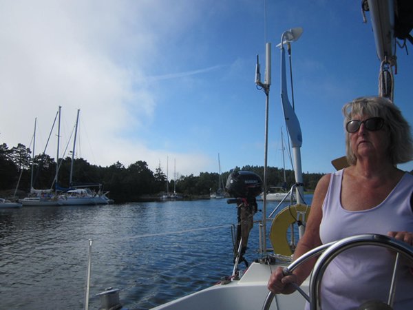
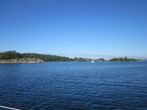
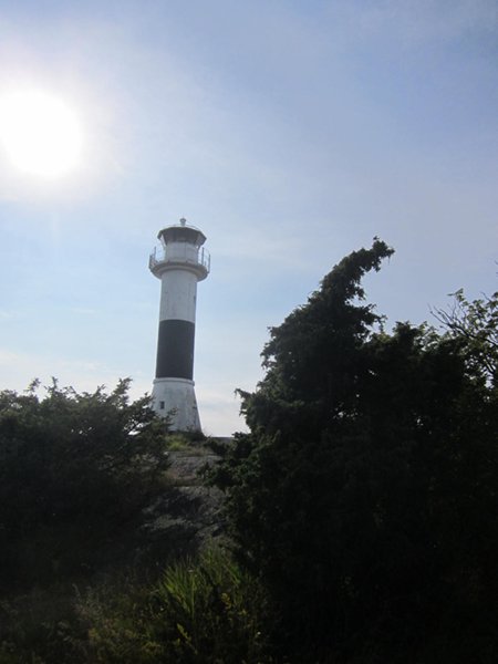
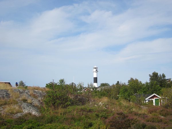
Foggy on one side and bright sunshine on the other Sure enough, before we had gone far visibility was down to less than a quarter of a mile and we were keeping a sharp lookout for other boats. At least our course was off the ferry routes so we only saw other yachts and small motor boats, none of which were travelling too fast. Although previously I had thought we saw rather too many rocks and trees, today I would have been very grateful as the fog didn’t start to clear until the early afternoon as we turned off the main channel and towards our chosen anchorage in the South East of the archipelago. It did mean that after we had anchored we could row ashore and explore the island, which boasted a lighthouse and a few cottages, then back to the boat for drinks and supper.
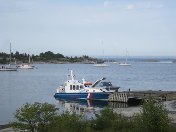
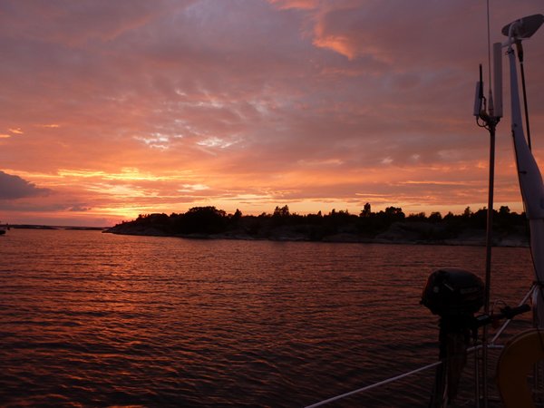
The anchorage at Huvudskar
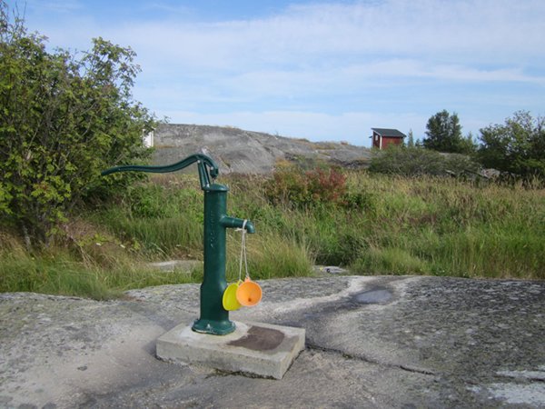
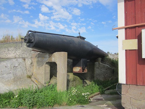
Views around the island
|
