Ready for a hurricane

Mystic of Holyhead (successor to Lynn Rival)
Rachel and Paul Chandler
Sun 26 Jul 2020 18:03
Following the principles of Ingsoc (as in Orwell's "1984") the title
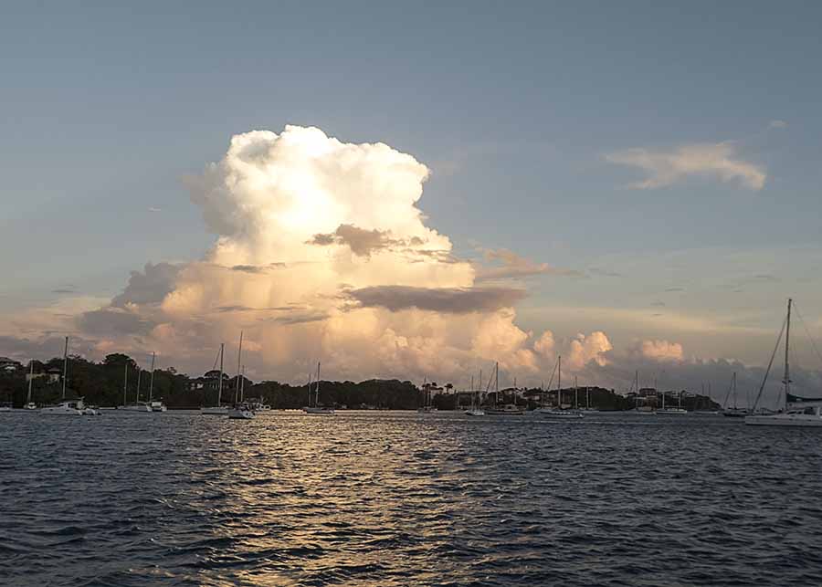
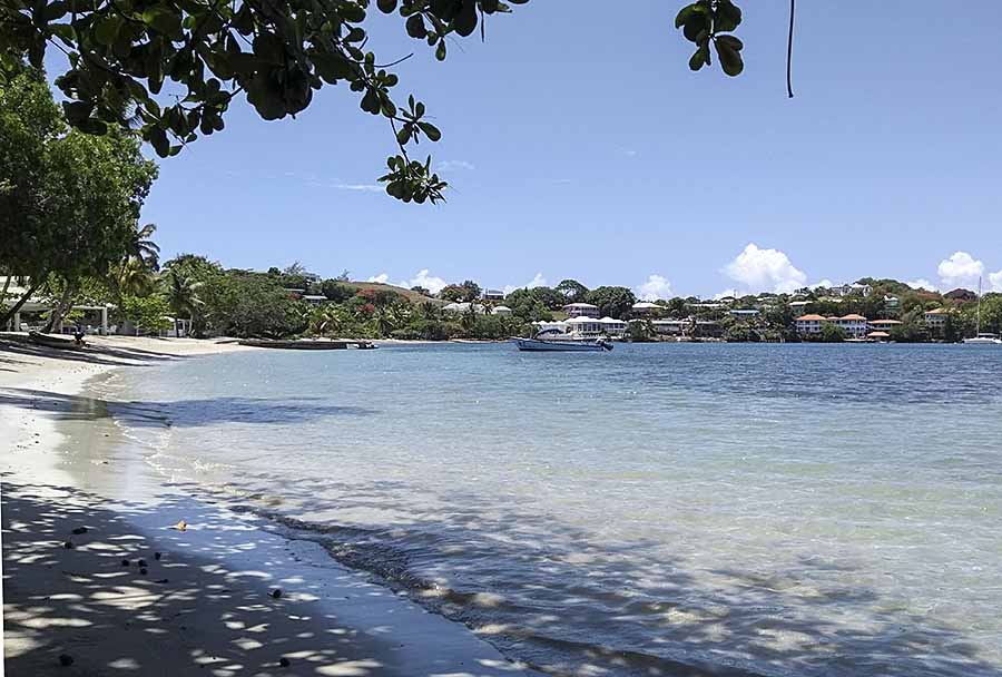
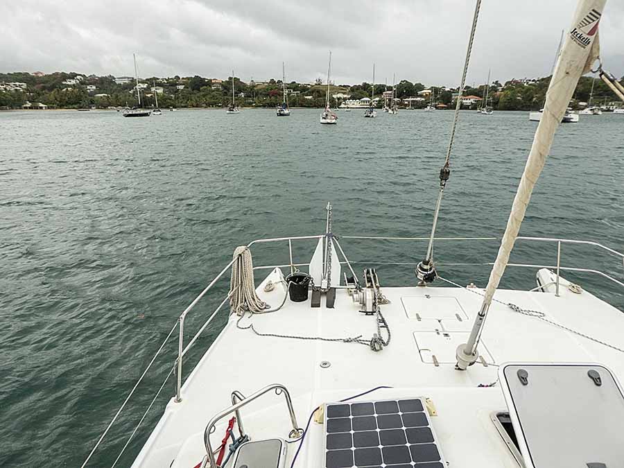
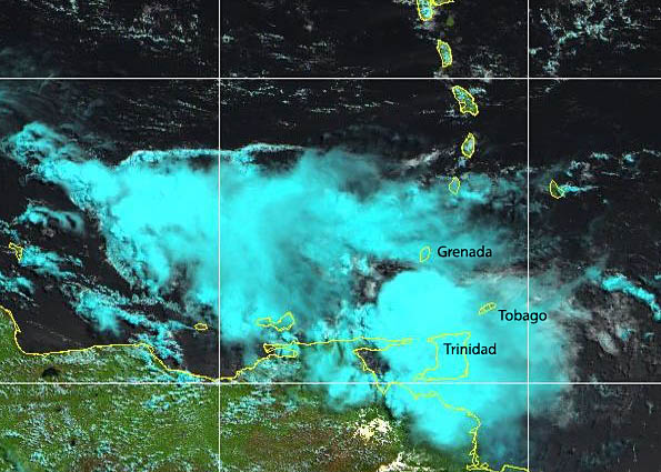
should say "Force 6 and a little rain". Spectacular clouds at a sunset earlier in the week  Clear skies (and no Sahara dust) at our local beach last Sunday lunchtime Many cruisers keep their yachts afloat in the Caribbean during the hurricane season. There are more than usual this summer, because of the strict closure of Trinidad. Trinidad is very rarely hit by hurricanes so is a favourite place to lay-up. Here in Grenada, 100 miles to the north, the risk is low compared to further north (hurricanes hit in 2004 and 2005) but those afloat still must be vigilant. We should all watch the weather forecasts and be ready to sail (usually south) at short notice. In practice it's not so easy. Over the last week we've been following the learning curve. First we became aware of a depression, in the mid-Atlantic east of Trinidad, with Tropical Storm potential. By Wednesday it had formed and was named Gonzalo. The forecasts showed it reaching the southern Windward Isles by Saturday, possibly strengthening to hurricane force (more than 63 knots). As usual, different forecasts were showing a range of possibilities. The American GFS model was showing the storm tracking more northerly through the Grenadines, with hurricane conditions affecting Barbados, St Vincent and St Lucia. The European EWMWF model was showing the storm continuing west to Trinidad and petering out. But these are the long range global models and cannot provide good predictions of small features such as Tropical Storms. Meteorologists at the NOAA Hurricane Centre study all the available data and provide specific track and strength forecasts every 3 hours, with discussion explaining the derivation and possible error. And this week they faced a double whammy: small early storms are notoriously difficult to predict, and because of the COVID panic up to 80% of the data normally received from commercial flights does not now exist. Yachts anchored in islands to the north of us were preparing to head south. In Grenada we faced a dilemma: should we head south and risk getting caught out if the storm follows a more southerly track? The decision is also driven (but shouldn't be) by insurers' limits on cover. Yachties in quarantine were particularly worried as the anchorage off St Georges is exposed; MAYAG, the Grenadian yachting industry association, arranged permission for them to move elsewhere until it was safe to return. Some cruisers headed for the most sheltered bay on Grenada, Port Egmont, but there is limited room there, and inadequately anchored late arrivals may turn it into a trap rather than a haven. A few here in Prickly Bay raised their anchors and took a mooring buoy instead, possibly planning to spend the weekend ashore (local hotels were advertising rooms at special rates for the occasion). They rely on a third party's ground tackle rather than trust their own equipment. Others made plans to sail south towards Trinidad despite being told they would not be allowed to shelter there unless there was a risk to life, i.e. a category 3 or more hurricane coming. The rest of us prepared for the worst; if necessary we were ready to set sail at the last minute. Back to studying the 3 hourly pearls of wisdom from the specialists, especially the NOAA and France Meteo (and ignoring the doomsayers and mischief-makers on the local cruisers information Facebook page). We could see that this was a fairly small storm, continuing to head west towards Trinidad. It could easily peter out, or maybe it would stabilise and intensify! On Thursday the NOAA sent an aircraft to investigate, gathering information to help their assessment. On Friday morning Gonzalo was expected to reach the southern Windwards by Saturday, either passing just north of us, or just south of us, but as a weakening Tropical Storm. We were having the "calm before the storm", so went ashore for shopping and our usual lunch at the microbrewery. Everyone was getting ready "just in case" - patio doors being boarded up - and our veggie supplier was worring about his crops being washed away. For the local community, heavy rainfall is more destructive than the winds. They need the rain, but not all at once please.  Mystic ready to go, or stay Back on Mystic we took down our large foresail and awnings to reduce windage (our much smaller staysail would suffice if the winds were strong enough to force us to leave), making sure everything was tied down. We prepared our second anchor and rode on the foredeck and veered a little more chain on the main anchor. By Friday evening we were having heavy rain showers and went to bed wondering what the morrow would bring. In the early hours we had more heavy rain and gusty winds - up to force 6 - but by dawn it was quiet again. Gonzalo had remained on its westerly path and passed over Trinidad.  Satellite photo - Gonzalo passing 80 miles south of us, at 11 o'clock Saturday On Sunday morning we put the sun awning up again, but not for long - there is now another tropical storm forming in the eastern Atlantic. We'll call the past week a dress rehearsal!  Probably soon to be named Isaias (Hanna just caught the corner of Texas before heading to Mexico) |