Bye Bye Bay Spriings
Ambler Isle
V and S
Wed 29 Jun 2011 11:15
34 34 965N
088 27 869W
June 27, 2011
We slept in til about 7 am, we had only 50 miles to
go today, and that would take about 8 hours run. There were no locks
in between. We'd expected to make the turn onto the Tennessee River and
anchor in a bay called Ross Branch. The sheltered bay we been in the past
few days let the boat bob at will, so when we lifted the anchor, the trip line
was wound around and around it. We set a trip line with a floating
ball attached to the anchor palls. This way we can pull from the opposite
direction if the anchor gets fouled on something below. After cleaning the
mud off chain, ball, line, and anchor, we headed out across the wide expanse of
Bay Springs Lake. Sorry to leave this beautiful are, but happy to be
heading home. Our last section of the Tombigbee River was mostly
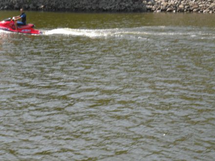
manmade, and was a straight channel, lined with rocks. The depth was about
18' to the tree lined shore. It was wide enough for 2 towboats to pass
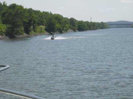
with safe clearance. After about 30 miles we turned east and were on the
Tennessee River. Immediately the river was wider. The shoreline was
greener and more lush. Amazingly there was no sign marking this change or
waterways. No "Welcome to the Tennessee", nothing. Without a
chart, a person might miss the turn completely. We went another 15 miles
to Ross Branch and anchored for the night. This was a short day for us,
but there was no anchorage for 35 miles, and a lock between. No need to
stop after dark. As always, we had numerous chores and would finish our
movie, too. |