Where in the hell is Coinjock?
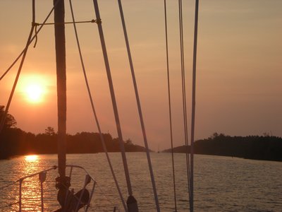
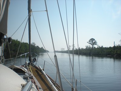
36.20.887N 075.56.955W Why have we been rushing north - well for insurance purposes we have to be North of Cape Hatteras by 1st June- we are now! Up anchor at 0600 and we entered the ‘ canal ‘; holding our breath slightly under the 64ft clearance bridge- I assume the builders miscalculated and lost 12” somewhere!
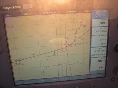
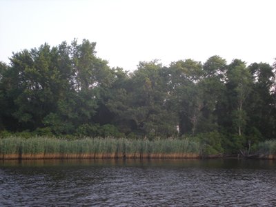
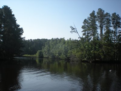
The cut runs almost dead straight for 20 miles and the banks were not made up as in a canal but are all submerged tree roots and logs. Out into Aligator River which is shallow in places, 3 miles wide and then into Albermarle Sound which in the hazy sun ( 40 + degrees ) you could barely see the sides ! I had thought the distance log was inaccurate as it seemed to be under reading but then realised that the mile posts on the ICW are all in Statute miles while the log records in nautical miles !
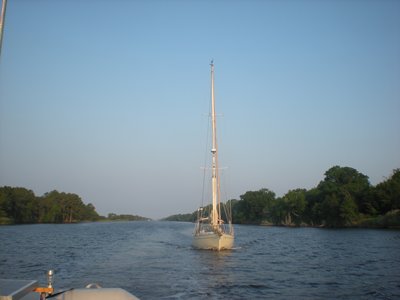
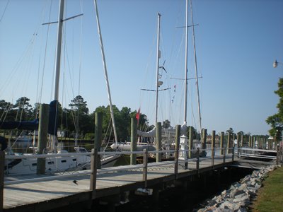
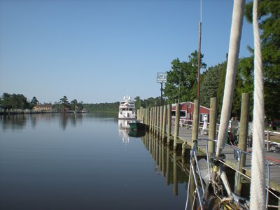
We moored up alongside at Coinjock Marina at 17.30 having covered 70 ( Nautical ) miles- the lure of the air conditioned shower rooms was too much ! |