Fwd: Tonga Niuatoputapu 15.9500° S, 173.7500° W
SV Jenny
Alan Franklin/Lynne Gane
Sun 20 Sep 2015 16:59
-----Original Message-----
From: Lynne Gane <lynnegane {CHANGE TO AT} aol {DOT} com>
To: svjenny+diary597144 <svjenny+diary597144 {CHANGE TO AT} mailasail {DOT} com>
Sent: Fri, 18 Sep 2015 18:56
Subject: Tonga Niuatoputapu 15.9500° S, 173.7500° W
From: Lynne Gane <lynnegane {CHANGE TO AT} aol {DOT} com>
To: svjenny+diary597144 <svjenny+diary597144 {CHANGE TO AT} mailasail {DOT} com>
Sent: Fri, 18 Sep 2015 18:56
Subject: Tonga Niuatoputapu 15.9500° S, 173.7500° W
Dear family and Friends,
As you may have gathered our blog updates are a bit erratic just lately so this comes to you from Alan in Tonga via London!
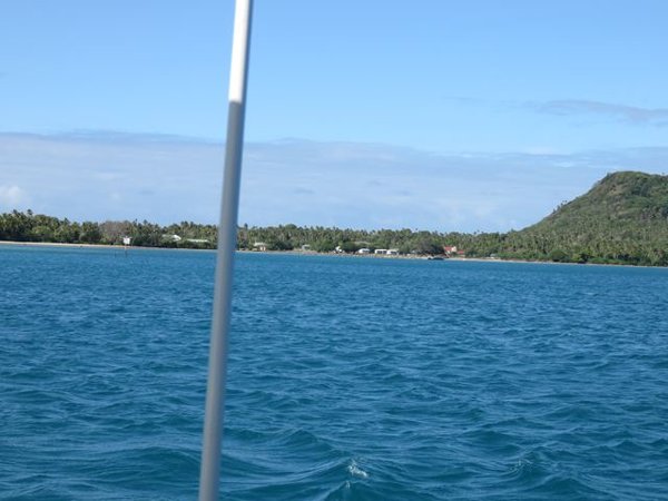
Photo 1
Niuatoputapu is the first Tongan island reached after about 180 miles from Apia, Samoa. The Tongan chain of island groups stretch for over 360 miles in a SSE direction and “New potatoes” the first clear-in port.
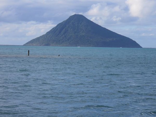
Photo 2
Your friendly neighbourhood volcano - Tafahi island - taken from the anchorage at Niuatoputapu.
Your friendly neighbourhood volcano - Tafahi island - taken from the anchorage at Niuatoputapu.
The volcano is inactive, as are most of the 'above sea level' cones. However the charts show many subterranean sea volcanoes not far to the west o
f the Tongan island groups. Numerous sightings of activity over the last 40 or so years are recorded on the charts, consistent with
destructive
plate tectonic activity. The Tongan trench with depths of over 10,000 meters is 80 miles to the east, running parallel to the Tongan island groups, continuing south and east towards New Zealand, for around 1300 miles. The recent earthquakes in Christchurch are a consequence of this plate margin activity.
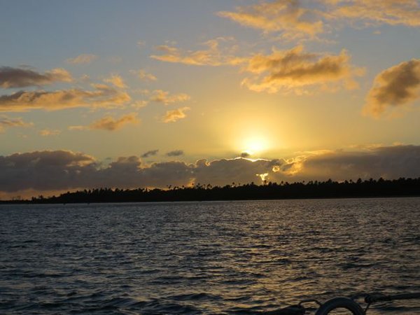
Photo 3
Niuatoputapu sunset
Photo 4
Are all babies lovely?
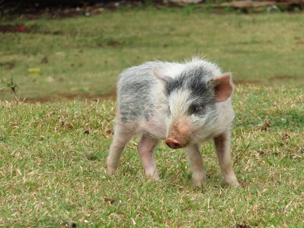
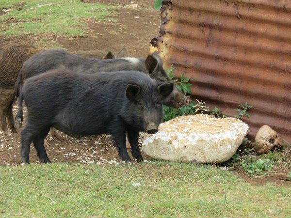
Photo 5
Niuatoputapu village
It’s true hungry pigs eat anything (Polystyrene sadly)
Next up Neifu, a little further south.
All our best,
Alan and Lynne