Day 5 - 60 NM from Santa Marta
Blue Note
Marco M.
Sat 10 Feb 2018 16:22
|
Date: Saturday 10/2/18 - Time: 12:11 Atlantic Time Position 12:02.835N 73:29.978W COG 203T SOG 6.7kt, Wind 65T 21.2 kt Temperatures: Air 27 C Barometer: 1011.2 hPa Sailed distance since departure: 776 NM Last 24h Sailed Distance: 175 NM Last 24h Decrease Distance on rhumb line: 174 NM Time since departure: 4d 19h 11m Average Speed since departure: 6.74 kt Average VMG since departure: 6.34 kt Average VMG speed last 24h: 7.23 kt Intention: sail to Obaldia, Panama Distance to End on rhumb line: 308 NM ETA : Monday Feb 12, 2018 @ 16:00 Detailed Track: https://share.garmin.com/svBlueNote We are about 60 NM North-East from Santa Marta, approaching the Barranquilla "high wind" zone. So far the wind is far from reaching the possible Gale conditions predicted and is blowing around 20-23 kts. It seams that the Peninsula de Guajira" on our East is contributing to lower wave height that we have seen 24 hours before with about the same wind speed. 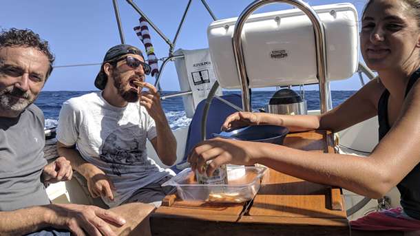 Breakfast on Blue Note 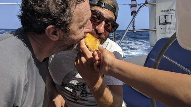 Fighting for last slide of breakfast 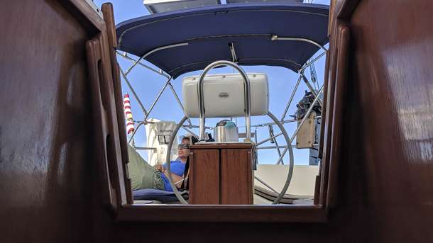 Yael ha yafa rest time 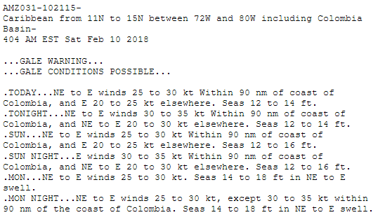 Gale condition still possible according to forecast |