Following the Knights to Malta
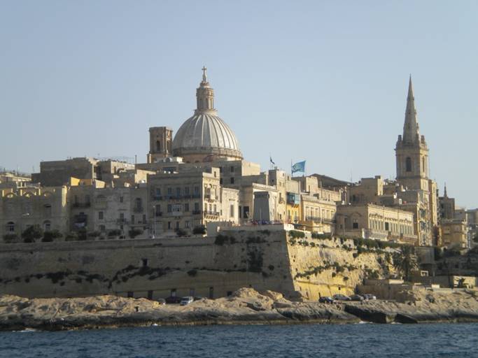
35:54.13N 14:30.06E 8 June 2011 Heading out of Siracusa the seas were a steep chop. The waves from the east peak when the bottom comes up at the entrance and near the cape. Typical Med seas, chop with no rhythm and throws the boat around. Once around the point the seas dropped as we got deeper water and away from the headland. The rest of the 11 hour trip was just rolling seas with not enough wind to help in the progress. Motor on. The Knights were given Malta by Spain so they made this passage from Sicily long ago. The passage between Sicily and Malta in one of the main highways through the Med. Constant stream of ships up to 1,100 feet long container vessels moving nearly 20 knots. Very few sailboats or other pleasure crafts. We did begin to get frequent radio messages from the NATO warships blockading Libya. Just letting all the ships know they were present since they do not use AIS identification systems. Libya is only 250 miles from Malta and Malta does allow warships to use the port as needed. Interesting to me, maybe not you, is that Malta is really hard to find without good navigation. In the summer the haze in the Med keeps visibility down and Malta does not have high mountains to protrude above the haze. So how sailors found the islands before is hard to imagine. One local historical legend was that the Greeks tried to find and eliminate the people on Malta that were raiding their ships. The fleet was sent out but never found the island and reported back that it was a fantasy. As we approached we were required to contact Valletta Port Control to get permission to enter the harbor. They want to know information about the boat, last port of call and marina destination. Using an agent helps the process since they allow you to proceed to the marina and not immigration first. Nice person on the other end of the radio and very busy responding to every vessel. Since Malta is a place of cheap fuel many ships come here to bunker. All require agents and pilots to get in. If they are not ready they tell you to wait outside territorial waters. On the GPS/AIS screen I counted over 30 ships at anchor in 100 meters of water waiting to bunker. We entered the harbor below the huge fortification walls that are hundreds of years old. Berthed at Manoel Island Marina which has just changed owners. In an upgrade mode but secure and close to shops, buses and tours.
Entering the harbor you know these residents were serious about fortifications. There are 63 miles of fortification walls on Malta.
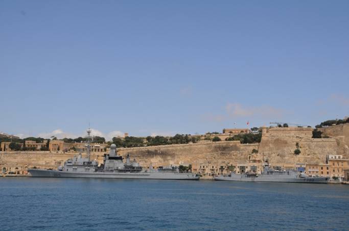
Today there are still military actions. In this case it is the NATO forces blockading Libya. Here are two French flagged ships (frigates??) stopping in for a few days in the harbor for a goodwill tour.
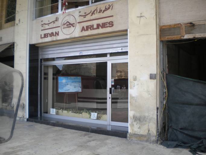
Now there are no lines waiting to get a flight to Libya. The Colonel must have told them to keep it open to look like things are normal.
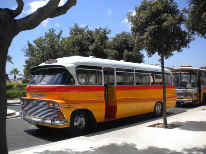
Our bus from the marina to the town center in Valletta. Cuba has nothing on Valletta buses. But now that they joined the EU these are quickly becoming history. The emission regulations for Greenhouse Gases require that they be taken offline. The cost to retrofit is too high and they are pretty cramped, hot, slow, overcrowded but still it is/was part of the culture. Thinking 1957-59 Chevy as the design basis. |