Brindisi to Montenegro
|
42:25.56N 18:46.0E This is the longest leg we planned on so far. The
distance from Brindisi to the Gulf of Kotor harbor entrance is 116 nautical
miles and then there is two more hours of travel to get to Kotor our
destination. So we left Brindisi at 04:25, just enough light to be able
to pick out the small fishing boats heading out. In spite of being this
early in the morning it was hot and wet, not damp, not humid, wet. I was
soaked with sweat just getting the lines ready for departure. As expected there was not a breath of wind so the entire
trip was by motor. The good side of no wind is flat seas and we picked up
a favorable 1 knot current that pushed us along making the COG close to 9 knots
with the engine only at 2,000 rpm. The visibility was poor for most of
the trip. With all the humidity the haze limited line of sight to around
2-3 miles. Radar and AIS really help pick out the tankers and fishing
boats well before they could be seen. Compared to Italy there were fewer
fishing boats along the coast so it was not too bad on watch. Total trip
time was 14 hours and 35 minutes to the Harbormaster dock. There our
agent met us and performed the customs and immigration process for us.
USA citizens do not need a Visa to enter. Need to show crew and passenger
list, passports, boat ownership documents, boat operator license, proof of
insurance and intended length of stay. Then they issue a cruising permit
good for a week or month depending on your needs. It takes about 30
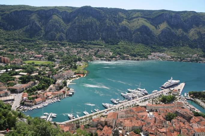
minutes, not bad at all. Logged over 1,000 nautical miles on the trip. The Port of Kotor is at the end of an arm of an inland
bay. The main quay is for immigration and cruise ship use. Further
in larger yachts can stern to using and anchor. As ther is no utilities
they need to run their generators and carry their own water. Further in
is the smaller boat marina where we berthed. Here there are mooring
lines, electricity and water. About half the slips are used by the local
sailboat charter company but once they leave others can use the slip. We
also have started to see the “fake” USA flagged boats. Some
of the non-EU countries allow USA flagged boats long term residency and I guess
they avoid some tax that way. So the local flag their boats USA. Not
sure if they actually have the proper documents but not my problem. We are berthed just outside the sea gate into the old walled
city of Kotor. Very calm marina and it actually is freshwater on the
surface from the streams and rivers entering this side of the Bay. Deeper
down it is salt water. The freshwater is groundwater derived so it is
5-10 degrees colder than the bay at this time of year. Go out a half mile
and it is all saltwater. The freshwater also presents a good environment
for algae growth with all the runoff from the land and I assume the sanitary
waste must also be discharged somewhere in the bay. So clumps of algae
are floating around near shore. Still very nice clear water once away
from shore.
Marina where we are berthed, just before the bend in the
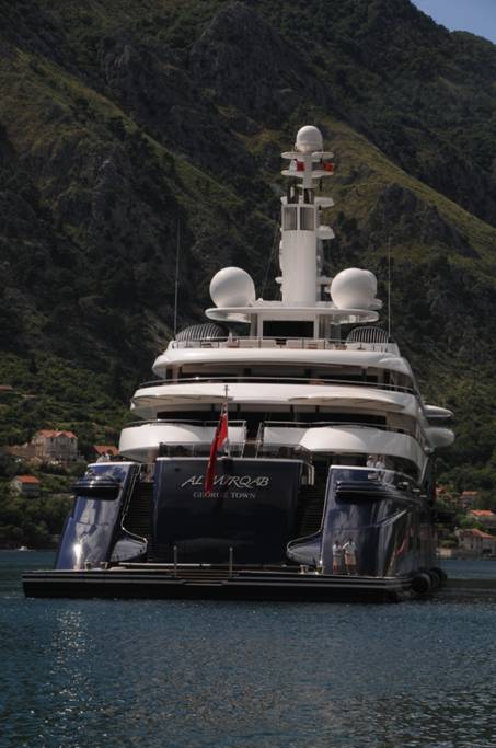
wall to the left. Large boat at right is private not commercial, docked
clearing customs.
For Jim, Clark and Max you saw this in Palma heading to the
fuel dock.
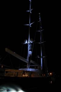
Another yacht, Perni Navi with Captain Barry Jones.
They stopped over for one night. New boom and masts (in boom furling).
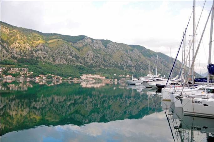
Our morning view from the bow. Back to a little history and more pictures in the next note. |