Mesolongion to O. Anemokambi

|
38:20.89N 22:23.83E Up relatively early for the 53 mile jaunt to Ormos
Anemokambi. Again the destination is more of a place to overnight than a
destination. There are not many places to safely anchor or for us to
berth at a town quay that has enough depth for our boat. As usual in these parts the morning was flat calm with no
wind. Motoring out of the canal with a little more confidence in its
depths and width made the departure easier. As with entering we gave wide
berth to the shallow sandbars and set course for the Rion-Antirrio Bridge we
need to pass under to get into the Gulf of Corinth. Per the pilot guide
you need to radio Rion Traffic Control 5 NM out. We did on Channel 14 and
they responded asking our mast height. We replied 24 meters and they
asked us to take the south channel, keep three pylons to the left and one to
the right. Now looking at the chart plotter the information provided for
that span is 15 meters in height. But refers to the far south part.
The northern part is over 30 meters. Never comforting to have conflicting
data but the Traffic Control knows what they are doing. As we approached they had asked us to call them again one
mile out which we did. They confirmed our clearance to pass and we
did. Now passing under a bridge always give the allusion the mast is
going to hit. Just one of those optical illusions but I did slow to a
creep before the bridge to assure I was okay. The water under the bridge
gathers up speed and we now had a little over two knots pushing us along so
slowing is not easy. Also it has a bit of angle so a good distance from
the bridge pylons is needed. We passed under and kept our speed down while two ferries
crossed before us. Why in the world are the ferries still operating after
the world’s longest cable and stay bridge is fully operational I do not
know. Must be a government employment thing. Once past the bridge the wind really increase due to the
funneling caused by the adjacent mountains. We went very quickly to 25-38
knots of wind, right behind us. Off with the motor and a reefed headsail
only gave us 7.5 knots of boat speed. Very comfortable. This is
also a favorite wind surfer area. Along the way we swung by the island Trizonia to see if the
anchorage and marina might have room. Getting behind the island was a
little difficult in the wind and the error in the charts. As with many
areas of Greece the charts are over 100 years old and GPS does not match it
well. If I followed the charts I would have been aground. In fact
according to the chart we ran right across one of the small neighboring
islands. Just need to ignore the chart position and navigate be eye and
depth. The small harbor was filled as expected so we just took a
look and left. Well protected from waves but the wind was howling through
it. Heading back on course to our destination we rounded one of
the points and the wind died to nothing again. Motoring to the anchorage
we passed some large fish farms. In the anchorage there was only one
other boat anchored. Looking around the place looked good but there were
a few fish net buoys. We anchored in 9 meters of water and it felt like a
rocky bottom not the mud in the pilot guide. It looks like mud in further
but I did not want to foul any nets. A good place for a one night stay. Totally protected
from the outer Gulf and most winds funnel through meaning not too much swinging
around. During the evening a local fisherman hand rowed and set another
net away from us. Then the local dogs in one house started their evening
barking. No longer a quiet place. We slept with the air cond on to
avoid the noise. There also is a chop that enters the anchorage, not much
but more annoying than not.
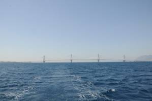
Longest cable stay bridge
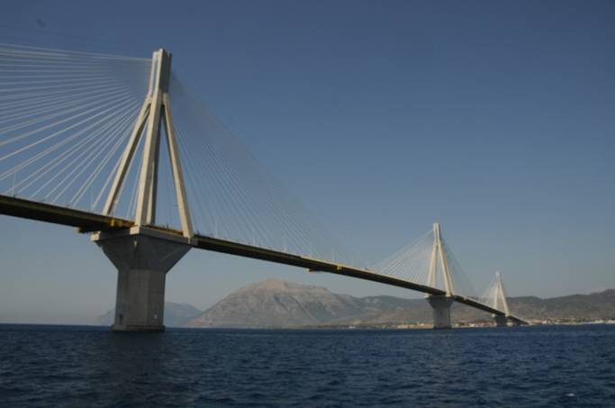
Three pylons to the left as ordered by traffic control
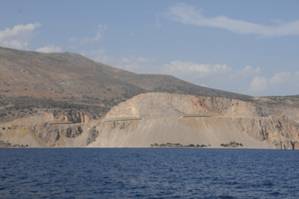
New highway cut through, not very scenic approach.
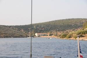
Anchorage for the night. Hotel and youth sport center
at end of bay. Fish farm factory on other end (not pictured) |


