St Barts to St Kitts
|
It’s 44 miles from St Barts to St Kitts and
hopefully, we would at least be able to sail a direct course without tacking as
the course was dead south, until we turned the corner off the west coast of St
Kitts, to make our way the 10 miles down to the main harbour of Basseterre,
where we would be stopping for the night. We had a pleasant sail in about 18 kts of breeze until
we turned the corner when we came into the lee of the island and the wind died
away to a whisper. We turned the engine on and motored the rest of the way
passing numerous ruined sugar mills left over from the days of slavery.
Another island discovered by Columbus (as most were) but this time he named the
island after himself as one book says although another refers to him naming it
after the patron saint of travellers - St Christopher. The island was
colonised by both the British and the French who formed an alliance in order to
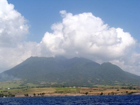
remove the indigenous Carib Indians. The French ceded the island to We arrived off We didn’t take many photos apart from this one
of
|