Atlantic Yacht Basin, Great Bridge, Virginia
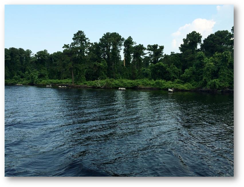
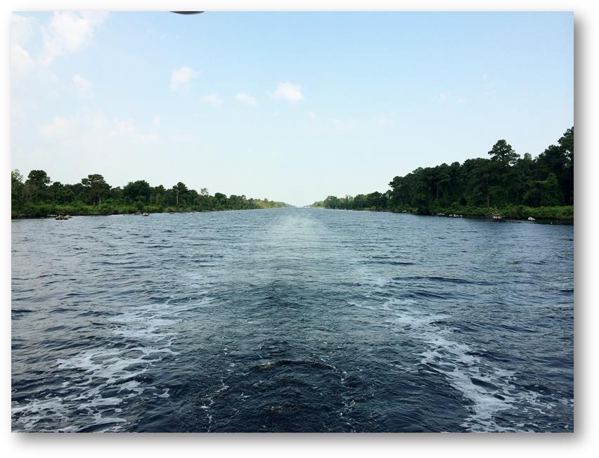
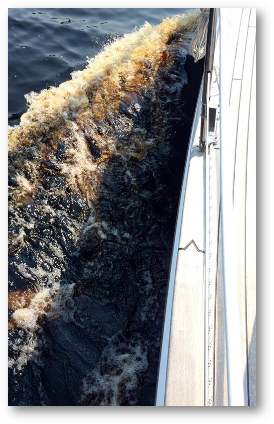
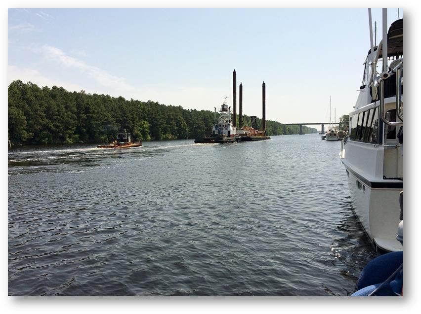
Date: Wednesday 18th June 2014 Position: 36:43.208N 76:14.078W I made another relatively early start, raising the anchor from the reddish brown water and depositing large volumes of sticky mud all over the foredeck. But there was another test to endure just a few miles further ahead. Tim and Aoife had passed through the day before me and had sent me a text message to let me know that the Pungo Ferry Bridge was showing a height of only 64 feet. It’s specified height is 65 feet, so the southerly winds must have caused the water level to rise. I set off along the upper reaches of the North River before joining yet another canalised section through an area called Coinjock. The canal gave way to a large bay (surprisingly called Coinjock Bay) which proved to be difficult to navigate. It was wide with dark water (again) and was very shallow (again). A narrow channel had been dredged through which was marked by buoys, but in places the channel had silted and depths were considerably less than they should have been. As depths suddenly dropped it was difficult to determine whether this was because I had drifted out of the channel or if there had been some silting. There were several times when I had to quickly reduce all forward speed and then cautiously hunt around to find deeper water again. Eventually Coinjock Bay gave way to the North Landing River with The Pungo Ferry Bridge being the first major obstacle that day. I passed underneath with the utmost caution, but fortunately, yet again, there was no contact. It was however an extremely close thing. The river followed a very contorted route, with many twist and turns and with several oxbow lakes along he riverside. The scenery was becoming even more verdant and spectacular than the ICW had shown me so far. At the head of the river the Albermarle & Chesapeake Canal took over for about 10 miles and this was quite stunning. For about 10 feet in from each bank the stumps of large old cedar trees protruded from the water as a reminder not to stray away from the middle of the canal. But every navigational marker had been taken over by nesting ospreys. There were hundreds of them. When you consider how rare these birds are in most of Europe it was quite stunning to see so many of them and at such close quarters. The nests are large and quite untidy affairs with what looks like hundreds of twigs bundled together in a fairly random manner. As I approached each marker, sometimes passing less than 15 feet away from them, the resident osprey would raise herself from her brooding duties, arch her back , raise her winds and emit a piercing alarm call. After I had passed they would then settle down again. At the end of the canal, just before a town called Great Bridge, there was a marina and it was time for a rest. I stopped, took on fuel and then tied up for period of relaxation. Norfolk and the end of the ICW was only about 15 miles away so I could manage that tomorrow. Just across the canal I noticed a familiar sight. Tied alongside just a few yards away was Waimangu. We met up later that evening to share a few more beers and watch another world cup match. Such long straight lines. Quite unnatural for an ocean going boat. The water colour was equally unnatural: Some quite heavy commercial traffic also used the ICW. The barges were built to just fit between the bridge spans. |