Cayos de Cana Gorda (Gilligan's Island)
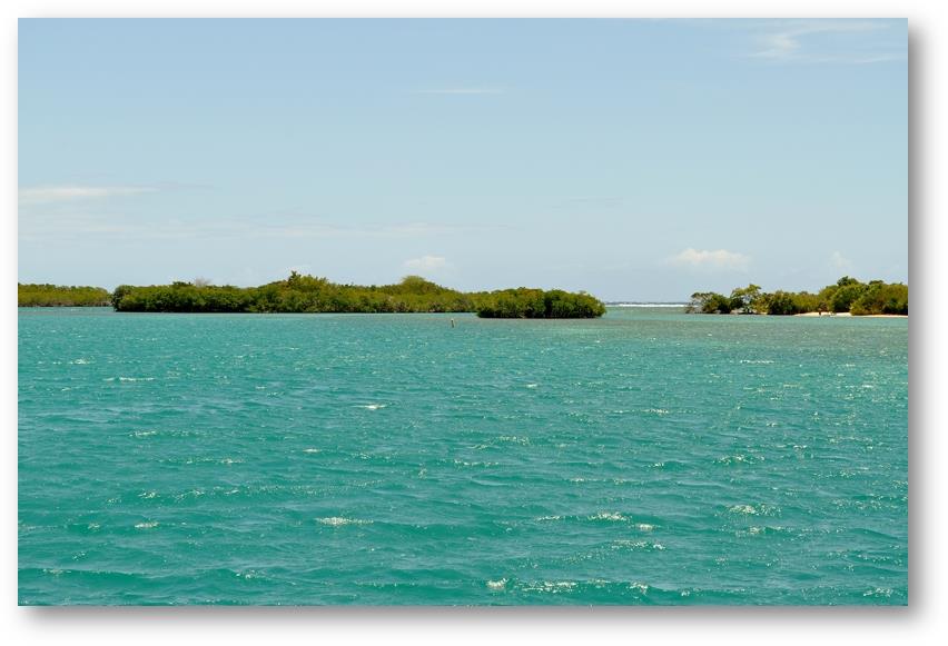
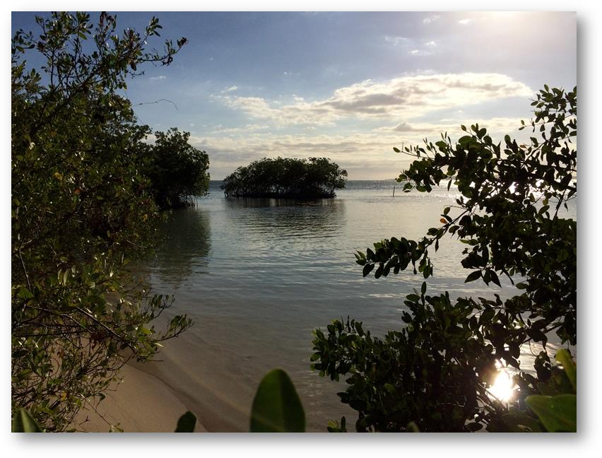
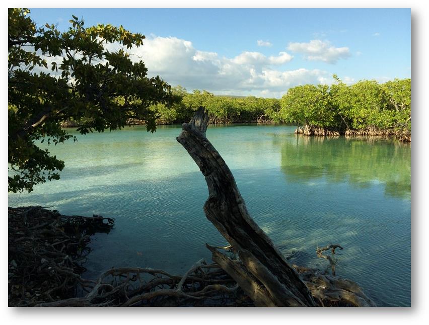
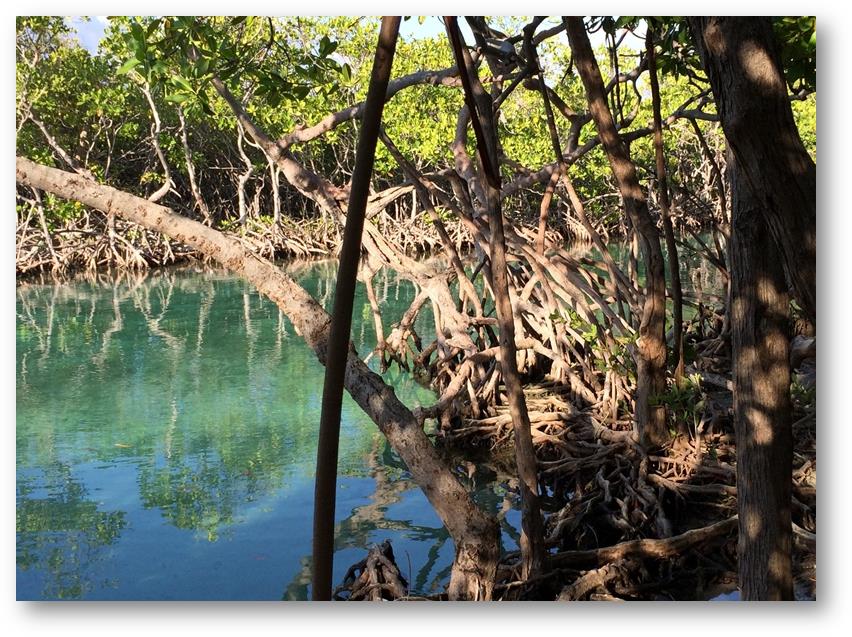
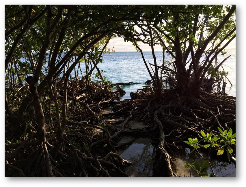
Position: 17:56.684N 66:52.473W Date: Sunday 30th March 2014 Since arriving in The Caribbean more than 14 months ago, our diesel fuel consumption has been very low. In fact our tanks were still around one third full even though we had not bought any new fuel since leaving Barbados over a year ago. However our planned itinerary would take us through The Turks & Caicos Islands and The Bahamas where fuel prices are reported to be high, so before leaving Ponce we took what may be our last opportunity for some time to top up with relatively low cost fuel. Our friends in the UK will be delighted to learn that we paid at an equivalent rate of £0.62 per litre. On Thursday morning we sailed down to Cayos de Cana Gorda, also known as Gilligan’s Island. For the previous couple of weeks we had had very light winds, so when the web based weather forecast predicted the same conditions we believed them. In the event we had a stonking good sail in over 20 knots of wind. By the time we arrived the seas had started to build so we chose to take the longer entrance to the anchorage rather than the shorter, more direct route through the reefs that surround the bay. The anchorage is another large and sheltered bay where there were only two other boats when we arrived. It has a large coral reef offering protection from the east and south and has a couple of small, low lying islands covered in mangroves. There were some quite impressive populations of birds that included pelicans, buzzards, terns, frigate birds and various small bush birds. One of the islands, called Gilligan’s Island was very popular with day trippers who arrived in small ferries from the mainland, about half a mile away, but by 4:30 in the afternoon they had all left and it was safe for to take the dinghy over to enjoy the island in peaceful conditions. The entire area is a nature reserve and is intended to enjoy some protection from unnatural intrusions. This seems to have escaped the notice of some of the more bone headed visitors. We saw one particularly small brained individual on a jet ski who repeatedly took his machine (with girlfriend on the back) up into the deepest recesses of the mangroves then accelerated away at maximum power making the most atrocious noise and causing maximum possible disturbance to the wildlife. Another member of the same species, homo moronicus, was carrying a drinks cooler made from polystyrene and containing several cans of soda based drinks. The cooler started to break up as he carried it. Laughing he just kicked the unopened cans and the large fragments of polystyrene into the sea. The weather forecasts continued to predict very light winds (less than 8 knots) but with large northerly swells. Our next planned stop would have been exposed to these swells and as a result would have been uncomfortable, so we chose to stay in our protected anchorage until the swells had abated. In the event the forecasts were significantly wrong as we had strong winds gusting over 25 knots each of the days we were there. |