Deshaies - Guadaloupe

Position: 16:18.450N 61:47.821W Date: Monday 6th May 2013 Continuing on our trip up to Antigua, we left Les Saintes early in the morning and made our way up the west coast of Guadaloupe. We stopped at the north west corner, in a small town called Deshaies, so that we could undertake the customs formalities to clear out of the country. It also continued to break the journey into smaller steps that Eileen appreciated. As we approached the southern end of the island we could see the high mountains starting to build again.
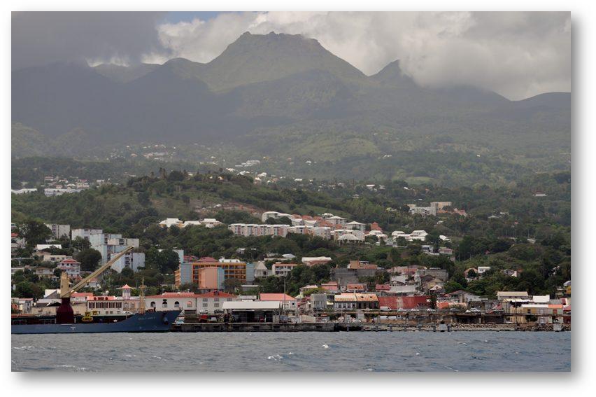
We soon passed by the capital city of Guadaloupe, which is called Basse Terre (the western part of Guadaloupe takes its name from the city). Lurking behind the city is the active volcano ‘La Soufriere’. We couldn’t help thinking of St Pierre in Martinique that is similarly based close under a volcano and which was destroyed by a devastating eruption in 1902.
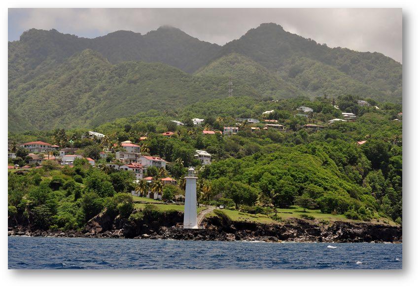
Towards the end of the day we approached Deshaies and when we were about 5 miles away we ran into a torrential rain storm. Visibility reduced to just a few tens of metres and we were both soon soaked through. We managed to find a space in the bay and drop our anchor, before beating a hasty retreat to the saloon to take of the wet clothes and dry out a little. The next day the sun shone and we were able to take some photographs:
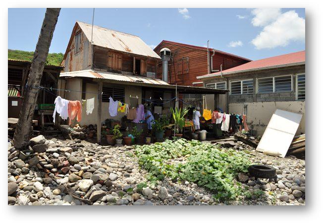
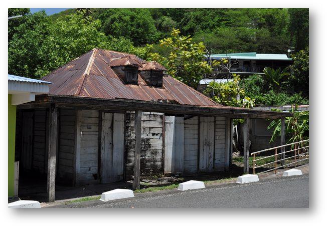
The town’s architecture still has some strong French influences, but is nonetheless more similar to nearby Caribbean islands than some of the other towns we had seen in Guadaloupe. |


