On the Road Again in the Sea of Cortez - PART 1

On the Road Again in the Sea of Cortez - Part 1
Time for another episode of “Where in the World are Margie and Peter?” It’s been quite a while since we’ve posted an official cruising update. In the interim, Peter has written his swashbuckling tale of the Chubasco and posted an earlier, equally horrific, account of his housekeeping skills, or lack thereof…
But, we haven’t sent out a real sailing update since we returned to Peregrina in March. I’m going to have to make this a two-part series as there are too many pictures to send in one email. So, let’s get going and backtrack a bit to catch up…
Peregrina was stored “on the hard” for that extended period in San Carlos, Mexico (near Guaymas) on the mainland side of the Sea of Cortez.
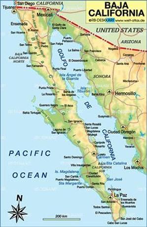
FYI - The Sea of Cortez is known as the “Golfo de California” to Mexicans. They have never been particularly fond of Hernan Cortes, the evil Spanish conquistador who destroyed the Aztec Empire in 1521 to expand Spanish dominion in the New World. Local interpretation of his victory often notes that it had less to do with his military prowess than from the introduction of new diseases which devastated the population and weakened their armies. I’ll leave the historical analysis for someone else to figure out and get on with the adventures of S/V Peregrina but, I’ll still be referring to this body of water as the Sea of Cortez (SoC) even though it’s not politically correct.
Anyways, we splashed back in the water at the end of March and headed north towards the Midriff Islands which are a chain of islands stretching across the SoC from the mainland to the Baja Peninsula.
Did you know that Baja Peninsula stretches for 760 miles from Tijuana to Cabo San Lucas? It is the 2nd longest peninsula in the world after the Arabian Peninsula which measures 1300 miles across Oman, Qatar, Bahrain, Kuwait, Saudi Arabia and the United Arab Emirates as well as parts of Iraq and Jordan. (You will thank me the next time they ask this question on Jeopardy!)
The Midriff Islands are protected as part of the Golfo de California Biosphere Reserve and are uninhabited, except for a handful of small Mexican fishing camps. The wind and currents are wicked in this region and the weather can change very quickly but we had our 110 hp Yanmar engine, Hercules, chugging along so we were comfortable crossing over from one side of the SoC to the other.
This is Bahia de los Perros (Dog Bay) on Isla Tiburon.
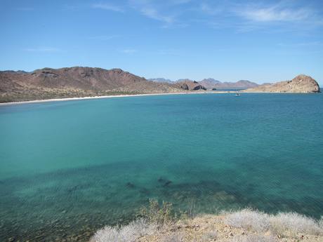
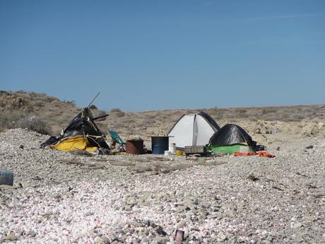
We had it all to ourselves except for a family of indigenous Seri Indians who come over for a week at a time to fish. They lived in very rough circumstances. It’s a tough life.
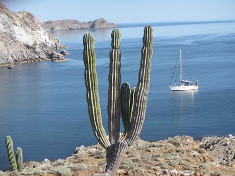
We stopped at several more of the Midriff Islands – Isla Partida, Isla Rasa and Isla Salsipuedes which translates into the scary warning, “Leave if You Can!” However, we spent a very tranquil night there.
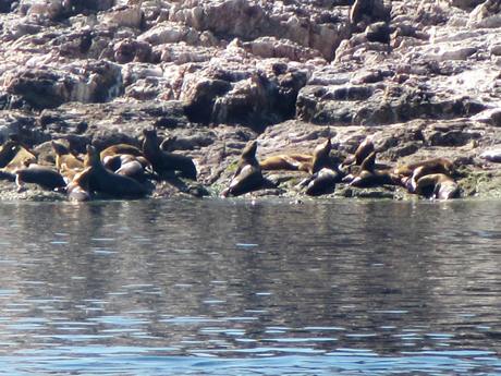
Our favorite stop in the Midriffs was at Rasa Rock, where we encountered a colony of Sea Lions. I’ll include one picture here but will write more about Sea Lions at the end of this story as we had an incredible opportunity to swim with them near La Paz.
We were now day-tripping south along the Baja Peninsula coast. We stopped at the lovely little town of Santa Rosalia. In the 1860’s, copper was discovered here and, in 1885, the mines were sold to Compagnie du Boleo, a French mining company backed by the Rothschild family.

Santa Rosalia was a “boom town” with running water and electricity installed second only to Mexico City. By 1910, almost 400,000 tons of copper had been excavated and the town had taken on a distinct French architectural appearance.
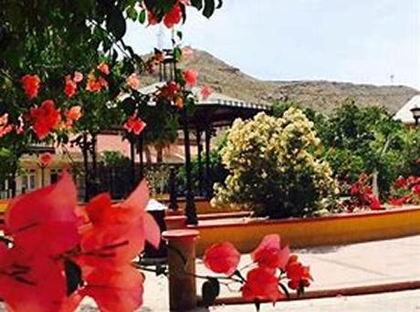
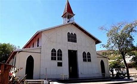
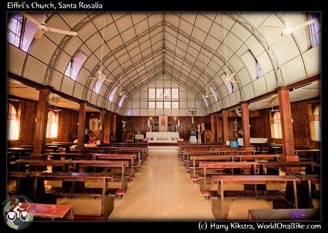
In fact, Gustave Eiffel designed the steel constructed church, Iglesia Santa Barbara, which graces the town’s central square.
There was an excellent museum chronicling the history of the town and Margie was tickled to see that this Howe Scale (Howe being her maiden name) was used to weigh up to 15,000 kilos of copper! This scale was in use from 1895-1995 when the plant closed.

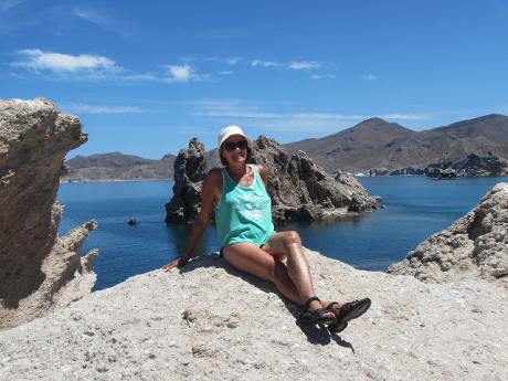
Moving on, we made a return visit to Isla San Juanico having loved this anchorage last year. The hiking was terrific and the views spectacular.
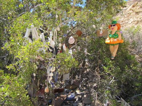
It’s also the home of the famous “Cruiser’s Tree” where everyone leaves a little memento to document their visit.
I’ll stop here to see if this email goes through and pick up where we left off in a second email. Sorry for this lengthy post. I'll try to make them briefer in the future. Our daughters tell me I am much too verbose in this age of “cyber-succinct” conversation.
--