Storm in the South China Sea

Peregrina's Journey
Peter and Margie Benziger
Wed 24 Jul 2013 02:07
STORM IN THE SOUTH
CHINA SEA
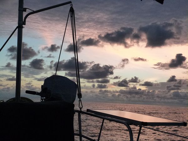
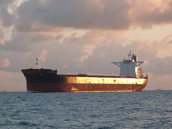
The first night went smoothly with a beautiful sunset.
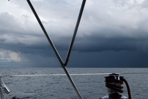
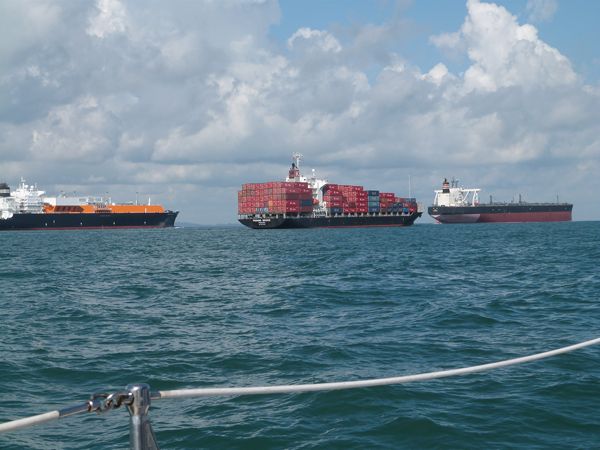
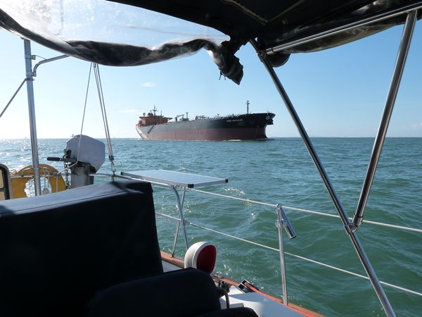 Three vessels passed us at the same time in the photo below.
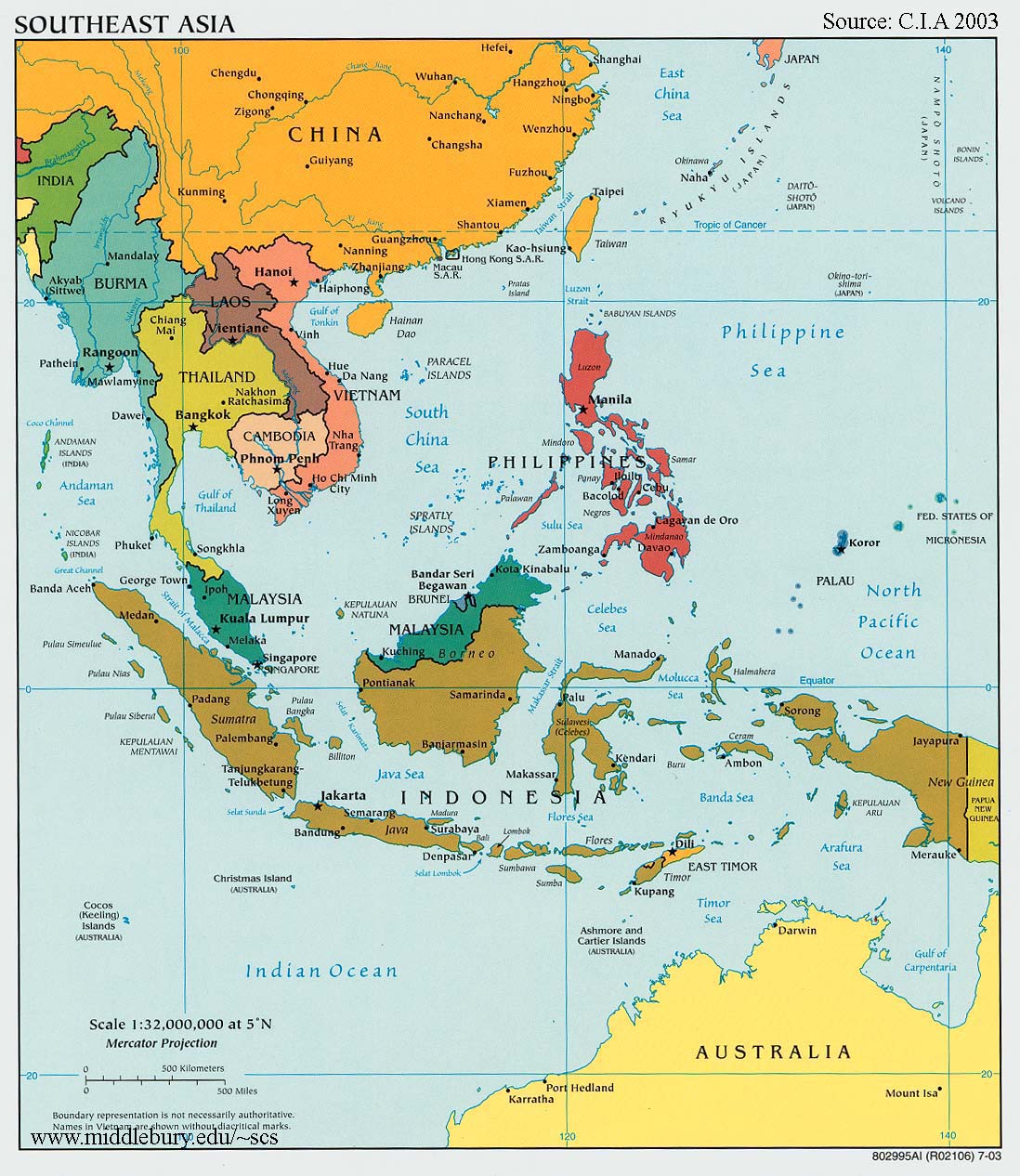
Recently we sailed from Kuching, Malaysia across the South
China Sea to Singapore. Kuching is on the Malaysian part of the island of Borneo (seen in color green) and Singapore is to the west.

Since it was July, the Southwest Monsoon was beginning which
essentially meant the wind was coming from close to our destination. We knew we
would be sailing ‘close to the wind’ with a lot of heel in the boat and the bow
would be pushing into the waves. This also meant that storm cells would hit us almost head on.
Fortunately, it was only 389 miles and we calculated that it
would take us no more than three and a half days ….that was before the storm!
When we left Kuching, which is the most western large town
in Borneo, we passed an upended barge
that had been lost a few weeks previously in a storm. Storms are pretty exciting here!
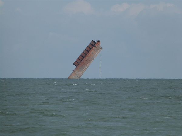

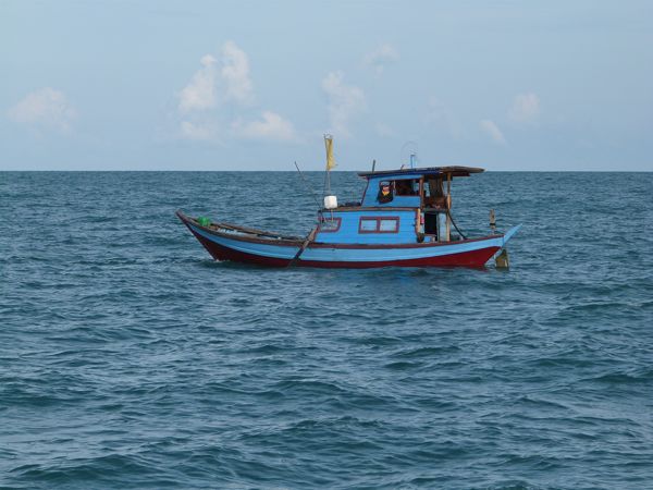
Small fishing boats were at sea so we felt good and began to
enjoy the trip.

We had also received weather forecasts, from two separate
sources, predicting the weather for the next 72 hours. Both forecasts indicated winds from the Southwest at 10
knots.
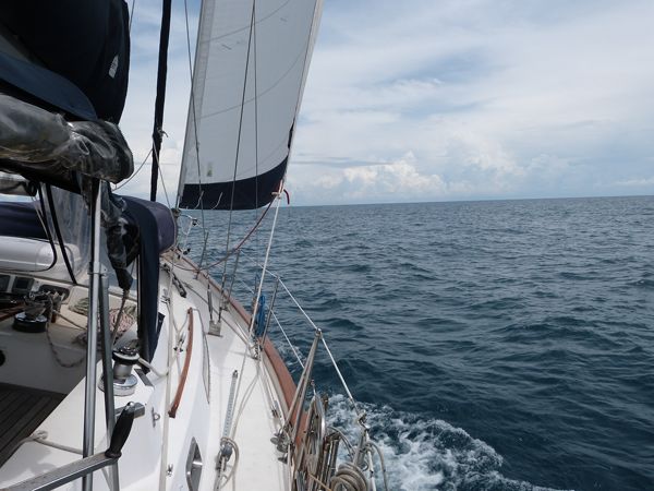
We looked forward to a peaceful sail and Peregrina began to
kick up her heels while heeling to starboard at about 15 degrees of tilt.

The first night went smoothly with a beautiful sunset.

Towards late afternoon, of the second day, we noticed a
storm cell forming. We rolled in the genoa completely and put the first reef in
the main.Often, when a storm cell approaches, the wind will drop
prior to the arrival, then increase dramatically for about 45 minutes, then
diminishes again as the cell blows through.
This is what we expected and prepared for as the sky continued to darken.

In this case, the wind did drop and then, just as the sun
was setting, the increase hit us like a hammer blow. The wind jumped to 20+
knots, then 30+ knots, then 40+ knots then into the 50’s. As we steered into the wind, with the engine
going and the mainsail reefed, the rain was driven under the bimini and we
became very wet. Why we did not go down to get our foul weather gear at this
point I really don’t know. Probably we thought that it would just last a short
time and frankly neither of us had showered in a couple of days!
By the end of the first hour we began shivering which
depletes your body strength quickly. The
waves had grown considerably and the auto pilot was not able to steer the boat.
I was at the helm when ,after two hours,
Margie brought up the foul weather gear. We both put the “foulies” on over our soaking wet
clothes.
During the third hour of the storm, the wind hit the highest
point registering a top speed of 57 knots. It was also during that time that
the fiberglass mainsail batten ripped away from the sail and started banging on
the boom above our heads.
Up forward the dingy, which resides on a cradle on deck, was receiving the direct impact from waves breaking over the bow. With each wave, the dingy would levitate off the cradle to the extent of its tie down ropes and then come crashing back down on the cradle. The dingy cover blew apart which allowed water to flow into the dingy. We were very concerned that the dingy would rip away from Peregrina.
Behind the helm the deck box protective cover split and started flapping wildly. There was cacophony of unwelcome sounds above deck. Below deck we could see everything flying about and the engine room access door fell out as the wooden frame twisted.
After about three hours at the helm, I was shivering quite
violently and actually got sea sick for the first time in 20+ years. The fine
lunch Margie had made hours before became flying gourmet fish food.
People always ask us to show them pictures of Peregrina in
storms. We do not have many pictures of Peregrina in storms since we are usually
quite busy. In this case, it was the blackest night and the water splashing
into the cockpit would have ruined the camera.
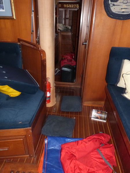
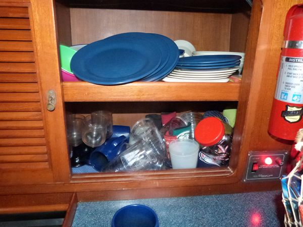
Here a few “after the storm pictures.” From the PFD (Personal Floatation Device) or lifevest there is a tether with a snap shackle to attach ourselves to "strong points" on the boat.
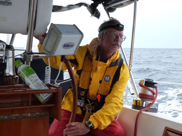
Down below

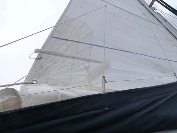
The
broken batten pocket (see the folded white canvas hanging down) after I
had removed, during the night, the long fiberglass batten.


Since the storm blew us way off course we added additional
time onto the passage and arrived at the entrance to the Singapore Straits
about 4am in the morning of the fourth day. We still had about 24 miles to
transit, during coming daylight, to get to the quarantine anchorage. The Singapore Straits is the busiest shipping
channel in the world with approximately 50,000 vessels transiting a year. While most of the traffic is orderly, the
main VHF channel #16 becomes almost useless as countless vessels have extended
conversations in many different languages.
Every once in a while the maritime police will break in, when there is a pause, to try to clear the channel or issue a formal warning to a particular ship who is acting dangerously. The maritime website has the following statement at the beginning:
Every once in a while the maritime police will break in, when there is a pause, to try to clear the channel or issue a formal warning to a particular ship who is acting dangerously. The maritime website has the following statement at the beginning:
“The recent increase in collisions occurring in and around
Singapore waters is of concern for the whole shipping community. A significant
number of the collisions are related to the congested conditions in and around
the Singapore approaches, including anchorages outside port limits and close to
the Singapore Straits Traffic Separation Scheme (TSS)."
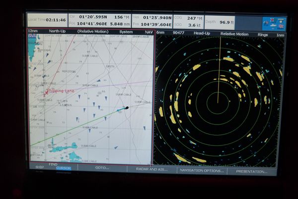
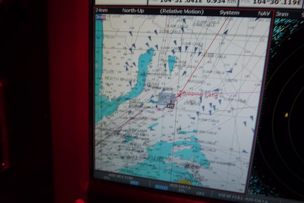
Here is a picture of our chart plotter showing the chart
with AIS contacts (other ships) on the left as small triangles and the radar
signatures on the right.

At night, while we can see these boat miles away, from their
very bright deck lights, we are quite certain they can not see us easily. Peregrina
has small sailboat running lights, red (port) and green (starboard), which are
about three inches in height. We carry a
round radar reflector about 12 inches in diameter. We probably look like the
size of a pelican sitting in the water to these behemoths…if they can see us at
all. We do carry AIS (Automatic Identification System) so that, hopefully, we appear on their electronic charts.
About 5am, Peregrina crossed the shipping channel at a right
angle from the South heading north. We needed to cross the southern shipping
channel, which was headed east, and merge into the northern shipping channel
traffic which headed west. This was
exciting since it was still a moonless black night. This picture shows Peregrina (at the center of the screen) crossing the lanes of traffic. All the triangles are ships moving in the darkness.

After we crossed the channel and successfully merged into
the westbound traffic the dawn broke and we could take some pictures of the
vessels around us.


The largest vessel (which passed us a night) was the 1102 foot ‘NYK
Olympus’ traveling at 18 knots.
During our day
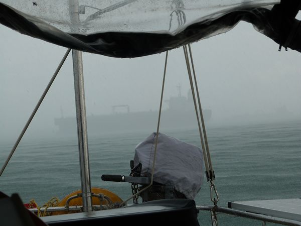
passage up the straits several rainstorms passed. Here is picture of a
vessel hidden by the rain. When the rain storm eliminates visibility the
vessels sound their fog horns and the sounds seem to come from ALL directions. It is quite unnerving to see a 900 foot
vessels emerging from the rain.

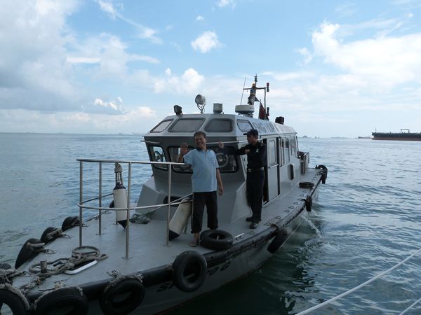
Later, we anchored in the west quarantine anchorage and when
the immigration boat came along side we were tired but really happy to have
arrived.

The English language name Singapore comes from Malay
translation of "Lion
City," The word Singa derives from the
Sanskrit word siṃha (सिंह),
which means "lion". Pura
(पुर) in Sanskrit means
"town or city.” The other point of interest is that there are not now, nor
apparently ever, were Lions in Singapore….only Tigers!
01:14.5N 103:50.4E