Hottentot Bay 26 08 209S 14 57 176E

|
What’s in a name? Well the history shows something not so nice. Stemming from ignorance and greed, Hottentot was a name that Europeans settlers randomly gave to the local people of Southern Africa whose way of life they did not appreciate or try to understand. Europeans could not grasp that hunter gatherers were able to sustain themselves and regarded them with disdain. The Dutch used the name Hottentot when they encountered the San who were hunter gatherers and the Sonqua/Soqua from the more coastal areas who were hunter gatherers and fishermen (these names, given to them by the Khoekhoen people, mean ‘people who are different to ourselves’) who had no animals or other ownership due to their totally egalitarian society. The word Hottentot was used variously by the settlers to describe other indigenous people such as the Khoekhoen who were pastoralists and kept animals although they sometimes hunted as well. Both of these groups were termed Bushmen although they led different lives in different terrain as the Khoekhoen needed grazing land. The usurping Europeans wanted land, as the expansion of the Dutch settlement continued, they dispossessed the pastoralists, driving them from their land and forcing them to become nomadic herders. They had to share land with the hunter gatherers who were also losing the territory they needed for their way of life so both were desperately marginalised and many experience great poverty. Numbers of these dispossessed people were captured and forced to work for the Europeans and were then more specifically categorised as Hottentots. They had to carry passes and were forced to enter into work contracts with employers. The legacy of this does not really need enlarging upon; those left to survive as best they could have become more recently known as the KhoeSan. Sadly this grabbing of ancestral lands continues today and is currently an issue in Botswana as demand for the acreage needed for modern agriculture increases. The only lands left to these indigenous peoples is that which farmers cannot use and even then, when minerals are discovered, they are driven out even from parts of the desert. It seems bizarre that the descendants of these Europeans are charging tourists to see the rock art on their land that was left by those who were dispossessed! This great wrong, one of the many that African people have suffered, is not being addressed and so it goes on. Making for this bay enabled us to break the voyage up to Walvis (Whale fish) Bay which will be our last port of call in Namibia. Sailing up to the sheltered anchorage at Hottentot from Luderitz was just 11 hours so an early start meant anchoring in daylight was possible. Great! At 07:00 Chris was at the Customs Office collecting our South African wine which had to be sealed away and which they decided to keep until we left. By 07:30 our mooring lines were off and Gryphon II was underway.
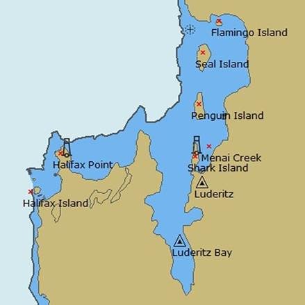
We decided not to retrace our route on the way out but instead left Menai Creek by going inside Penguin and Seal Islands. The buoyed ship route lies between Shark and Penguin Islands and the helpful harbour master called us on the VHF to express his concern that we were not following this route. I reassured him that we more or less knew what we were doing and sure enough we did see a few penguins and lots of seals complete with their pups but no flamingos.
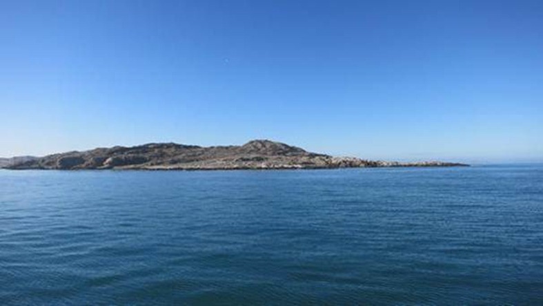
Seal Island
A group of seals came as fast as they could to try and say goodbye, porpoising out of the water as they came but surprisingly they could not catch up with us and soon gave up. There was little wind to start with and a lumpy swell so we motored north making water as we went, with the icy Benguelas Current pushing us on our way. The coastline here is ragged with dangers and the pilot book full of warnings that the area is not well charted. We had a smooth passage but on the way up we passed: Boat Bay Rocks with an underwater wreck nearby, Anichab Rocks, Marshall Staple Rocks with a wreck showing and heavy breakers, Rocky Point, Wreck Point and Danger Point all in a row, heavy breakers in several places then the Gallovidia Reef which skirts out from the land south and west of Hottentot Point with its dangerous wreck and a wreck on the shoreline deep in the bay. Glad we had good weather.
Just like clockwork the wind rapidly increased as we rounded into the bay until it was blowing to over 40 knots, that icy wind again. There was a chop on the water making it difficult to see the groups of tiny wooden dinghies moored out in the bay, possibly for catching rock lobster. We got our anchor down in 5½ metres and it held tight.
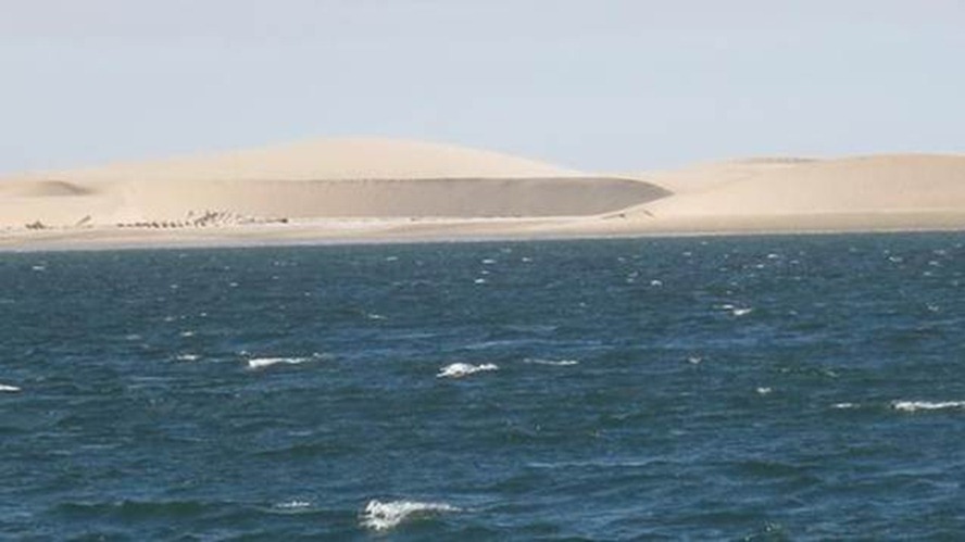
The Sand Dunes of Hottentot Bay
The skeleton of an old wreck on the shore.
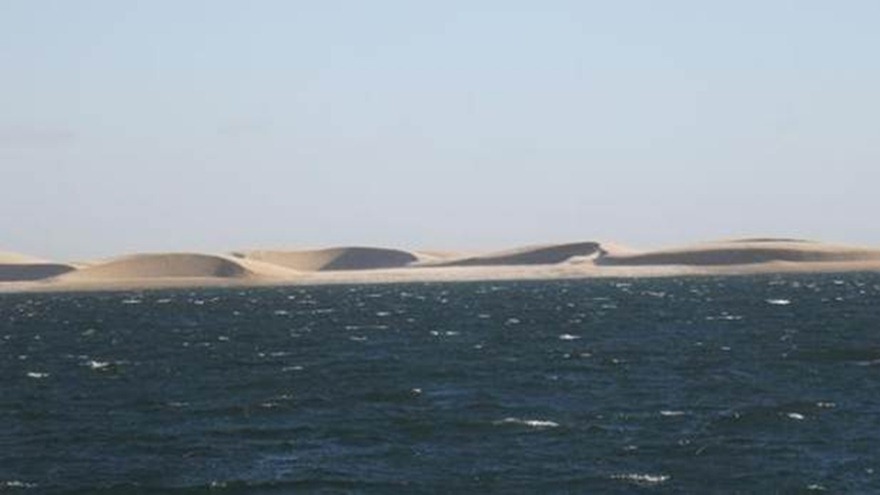
Wind art.
There were some deserted buildings ashore but it was too windy to explore and a large notice board we are sure stating that landing was not allowed. Some friendly seals and a lone dolphin visited otherwise not a soul to be seen, nevertheless it was a noisy night as the wind continued to howl across the dunes. |


