Pumpkin Key, Florida Keys 25:19.352N 080:17.785W
Five Islands
John & Sue
Sat 4 Jun 2016 00:18
 So lets start this entry with an early morning photo. This place has some fairly impressive clouds. Followed the ICW across open stretches of water, through channels across shallow banks and through mangrove lined passes.  Hopefully the chart is right and we are heading toward some channel markers somewhere in the distance.  Shallow, clear water is maybe 2m deep. Sand with soft coral, weed and patches of circular hard coral. Very few fish (except the large Tarpon John saw as we were coming into the mooring at Shell Key). 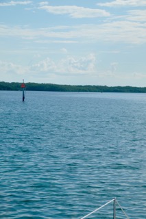 Ok so where to from here? I’m sure we will see an opening in the mangroves soon! 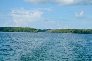 There it is. Some of these channels were well concealed.  But just beautiful once in them, although not everyone felt it necessary to go slowly (no wake).  The Everglades National Park is lots of water sprinkled with mangrove islands. It was extremely clean, no floating rubbish, which after Central America was a pleasant surprise. Let’s hope this practice is the norm throughout the rest of the US. 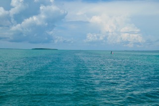 This is an example of a channel between shoaling areas.  It went on for ever. |