32. VAVA' U ,TONGA - 21.1.2009 - 172NM - 1:17h
"18:34.9S
173:58.1W"
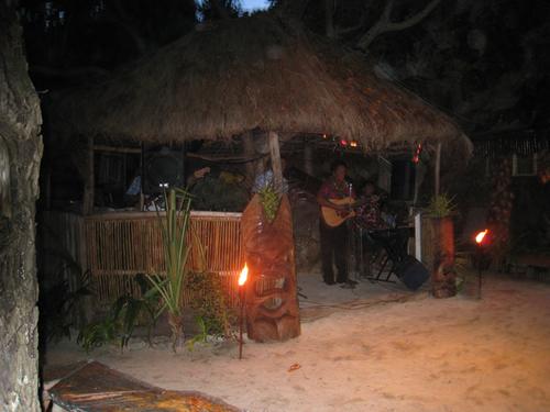
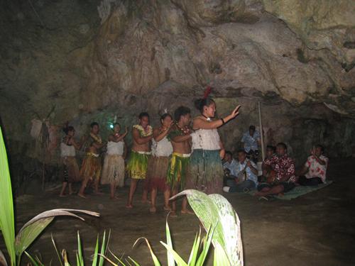
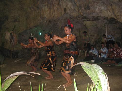
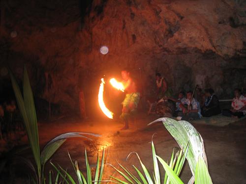
On our last Day Fua'Amotu we had the chance to experience a typical
Tongan
party at a beach resort and watched a native Tongan dancing performance
in a natural cave
Next morning we both woke up at 05:00, and left the Heilala Lodge by
shuttle at
06:00
for the airport in sunny weather after sunrise.
The closer we got to the airport, the more it was becoming cloudy
and it started raining again very intensively.
Ouff!
We checked the latest weather from the weather office for our journey
today and HB-PON took off in rain showers to Vava'U in the north
of the Tongan Island chain.
Half an hour in clouds and heavy rain, we broke out into blue skies at
9'000
feet.
>From this point on, the continuation of this relatively short flight
was again
very nice, and we saw a lot of magnificent coral reefs and palm covered
islets
heading north.
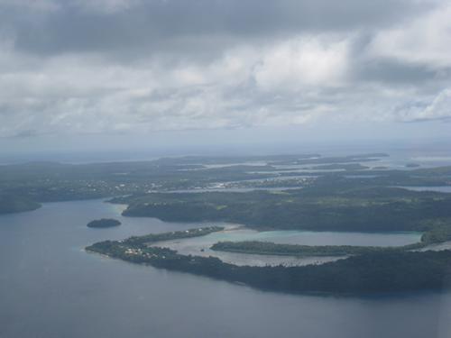
Approaching Vava'U in the north of the Tongans Island Chain
Indeed post card subjects.
Vava'U is the only place we could fuel up our tanks with Avgas for the
continuation of our next long lonely flight over nothing but water.
Keep tuned!